20901 131st St Anamosa, IA 52205
Estimated Value: $361,000 - $567,486
1
Bed
2
Baths
1,806
Sq Ft
$242/Sq Ft
Est. Value
About This Home
This home is located at 20901 131st St, Anamosa, IA 52205 and is currently estimated at $436,829, approximately $241 per square foot. 20901 131st St is a home located in Jones County with nearby schools including Strawberry Hill Elementary School, Anamosa Middle School, and Anamosa High School.
Ownership History
Date
Name
Owned For
Owner Type
Purchase Details
Closed on
Apr 5, 2016
Sold by
Jean A Neville
Bought by
Caspers Randy and Caspers Rosann
Current Estimated Value
Home Financials for this Owner
Home Financials are based on the most recent Mortgage that was taken out on this home.
Original Mortgage
$40,000
Outstanding Balance
$31,723
Interest Rate
3.71%
Estimated Equity
$405,106
Purchase Details
Closed on
Feb 9, 2013
Sold by
Harms Kathleen R and White Richard
Bought by
Caspers Randy R and Caspers Rosann M
Home Financials for this Owner
Home Financials are based on the most recent Mortgage that was taken out on this home.
Original Mortgage
$1
Interest Rate
3.32%
Mortgage Type
Purchase Money Mortgage
Purchase Details
Closed on
Jun 18, 2009
Sold by
Hsbc Bank Usa Na
Bought by
Caspers Randy R and Caspers Rosann M
Create a Home Valuation Report for This Property
The Home Valuation Report is an in-depth analysis detailing your home's value as well as a comparison with similar homes in the area
Home Values in the Area
Average Home Value in this Area
Purchase History
| Date | Buyer | Sale Price | Title Company |
|---|---|---|---|
| Caspers Randy | -- | -- | |
| Caspers Randy R | $100,000 | None Available | |
| Caspers Randy R | $39,000 | None Available |
Source: Public Records
Mortgage History
| Date | Status | Borrower | Loan Amount |
|---|---|---|---|
| Open | Caspers Randy | $40,000 | |
| Closed | Caspers Randy | -- | |
| Previous Owner | Caspers Randy R | $1 | |
| Closed | Caspers Randy R | $0 |
Source: Public Records
Tax History Compared to Growth
Tax History
| Year | Tax Paid | Tax Assessment Tax Assessment Total Assessment is a certain percentage of the fair market value that is determined by local assessors to be the total taxable value of land and additions on the property. | Land | Improvement |
|---|---|---|---|---|
| 2025 | $4,718 | $404,230 | $37,870 | $366,360 |
| 2024 | $4,718 | $369,780 | $19,130 | $350,650 |
| 2023 | $4,648 | $368,620 | $19,130 | $349,490 |
| 2022 | $4,008 | $281,130 | $15,080 | $266,050 |
| 2021 | $4,008 | $279,910 | $16,270 | $263,640 |
| 2020 | $3,614 | $245,960 | $15,810 | $230,150 |
| 2019 | $3,906 | $245,960 | $15,810 | $230,150 |
| 2018 | $3,698 | $266,330 | $22,320 | $244,010 |
| 2017 | $3,554 | $266,330 | $22,320 | $244,010 |
| 2016 | $3,472 | $258,510 | $24,850 | $233,660 |
| 2015 | $3,472 | $258,510 | $24,850 | $233,660 |
| 2014 | $3,582 | $258,980 | $29,620 | $229,360 |
| 2013 | $3,448 | $258,980 | $29,620 | $229,360 |
Source: Public Records
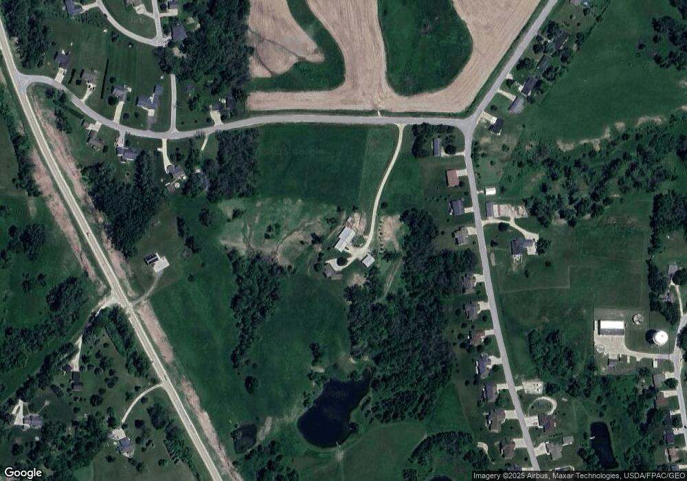
Map
Nearby Homes
- 408 Holt St
- 13294 212th Ave
- 121 N Sales Ave
- 420 Knoll St
- 227th Ave and E-34
- 114 Therese Ave
- 219 N Ford St
- 304 E Plum St
- 204 N Huber St
- 501 N Division St
- 207 N Davis St
- 302 N Pratt St
- 105 N High St
- 605 W Main St
- 105 N Division St
- 223 Wilson Ct
- 100 E 1st St
- 103 N Oak St
- 205 S Ford St
- 1007 Maquoketa St