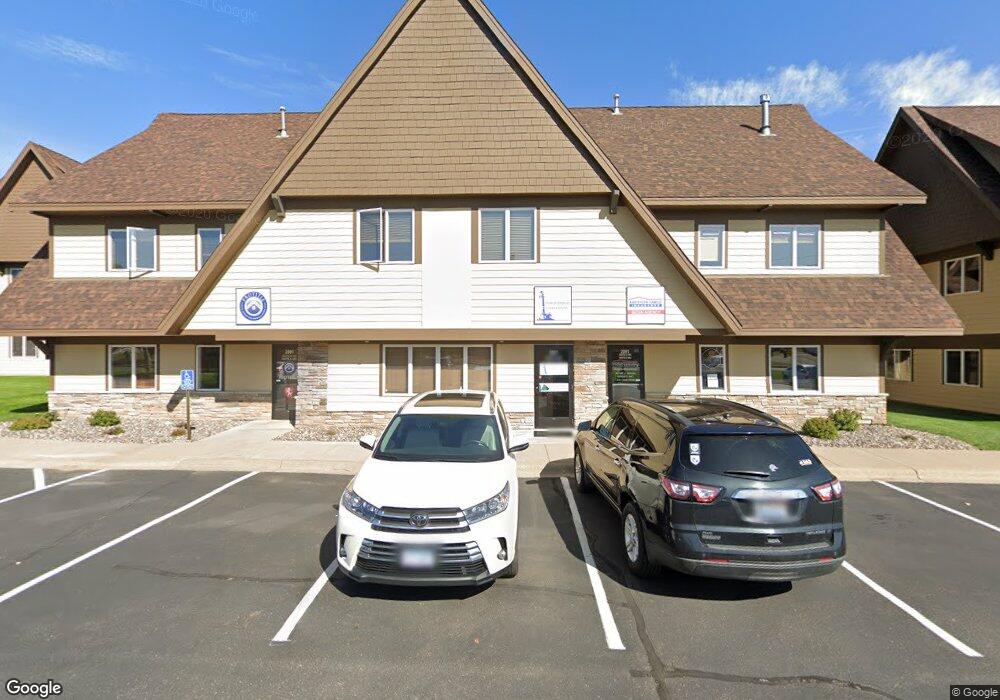
2091 County Road D E Unit B Saint Paul, MN 55109
Maplewood Heights NeighborhoodEstimated Value: $321,911
--
Bed
--
Bath
2,340
Sq Ft
$138/Sq Ft
Est. Value
About This Home
This home is located at 2091 County Road D E Unit B, Saint Paul, MN 55109 and is currently estimated at $321,911, approximately $137 per square foot. 2091 County Road D E Unit B is a home located in Ramsey County with nearby schools including Willow Lane Elementary School, Sunrise Park Middle School, and St. Annes Academy.
Ownership History
Date
Name
Owned For
Owner Type
Purchase Details
Closed on
Dec 1, 2016
Sold by
Germscheid Joyce W
Bought by
Anderson Josh P
Current Estimated Value
Home Financials for this Owner
Home Financials are based on the most recent Mortgage that was taken out on this home.
Original Mortgage
$161,396
Interest Rate
3.47%
Mortgage Type
Commercial
Create a Home Valuation Report for This Property
The Home Valuation Report is an in-depth analysis detailing your home's value as well as a comparison with similar homes in the area
Home Values in the Area
Average Home Value in this Area
Purchase History
| Date | Buyer | Sale Price | Title Company |
|---|---|---|---|
| Anderson Josh P | $206,060 | Land Title Inc |
Source: Public Records
Mortgage History
| Date | Status | Borrower | Loan Amount |
|---|---|---|---|
| Closed | Anderson Josh P | $161,396 |
Source: Public Records
Tax History Compared to Growth
Tax History
| Year | Tax Paid | Tax Assessment Tax Assessment Total Assessment is a certain percentage of the fair market value that is determined by local assessors to be the total taxable value of land and additions on the property. | Land | Improvement |
|---|---|---|---|---|
| 2025 | $11,054 | $363,200 | $75,000 | $288,200 |
| 2023 | $11,054 | $386,800 | $75,000 | $311,800 |
| 2022 | $6,570 | $263,300 | $75,000 | $188,300 |
| 2021 | $7,280 | $231,200 | $75,000 | $156,200 |
| 2020 | $7,492 | $250,400 | $75,000 | $175,400 |
| 2019 | $7,362 | $244,100 | $75,000 | $169,100 |
| 2018 | $6,952 | $244,100 | $75,000 | $169,100 |
| 2017 | $7,408 | $232,500 | $75,000 | $157,500 |
| 2016 | $7,726 | $0 | $0 | $0 |
| 2015 | $7,926 | $221,400 | $75,000 | $146,400 |
| 2014 | $8,314 | $0 | $0 | $0 |
Source: Public Records
Map
Nearby Homes
- 2065 Woodlynn Ave
- 3101 Mcknight Rd N
- 1836 Belland Ave
- 3237 Jerry Ct
- 2237 Maple Ln E
- 2254 Orchard Ln
- 2340 Standridge Ave
- 2112 Radatz Ave
- 2306 Beam Ave
- 2144 Mesabi Ave
- 2436 Lydia Ave E
- 2911 Bartelmy Ln
- 2360 Indian Way
- 2994 Mary St
- 1666 Village Trail E Unit 1
- 3167 Manitou Dr Unit 7
- 3175 Manitou Dr Unit 8
- 2505 Sumac Ridge
- 2121 E County Road D
- 3148 Manitou Dr
- 2091 County Road D E
- 2085 County Road D E # A
- 2085 County Road D E # A Unit A
- 2085 County Road D E Unit A
- 2085 County Road E E Unit A
- 2097 County Road D E
- 2097 County Road D E Unit A
- 2097 County Road D E Unit C
- 2085 County Road D E Unit A
- 2085 County Road D E
- 2085 County Road D E Unit C
- 2085 County Road D E Unit C100
- 2103 County Road D E
- 2103 County Road D E Unit B
- 2103 County Road D E Unit C
- 2103 County Road D E Unit A
- 2079 County Road D E
- 2079 County Road D E Unit A
- 2079 County Road D E Unit C
- 2079 County Road D E Unit B