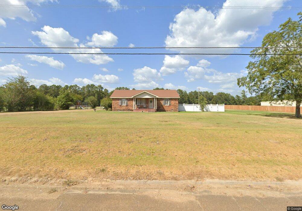
2095 Highway 98 E McComb, MS 39648
Estimated Value: $165,114 - $229,000
Studio
1
Bath
1,847
Sq Ft
$107/Sq Ft
Est. Value
About This Home
This home is located at 2095 Highway 98 E, McComb, MS 39648 and is currently estimated at $197,279, approximately $106 per square foot. 2095 Highway 98 E is a home with nearby schools including North Pike Elementary School, North Pike Middle School, and North Pike Senior High School.
Ownership History
Date
Name
Owned For
Owner Type
Purchase Details
Closed on
Aug 14, 2017
Sold by
Sawyer Kimberly A Weaver
Bought by
Lewis Richard W
Current Estimated Value
Home Financials for this Owner
Home Financials are based on the most recent Mortgage that was taken out on this home.
Original Mortgage
$32,167
Interest Rate
3.96%
Mortgage Type
Commercial
Purchase Details
Closed on
May 18, 2017
Sold by
Parsons Sandra W
Bought by
Woodall Benjamin Cody and Woodall Crystal King
Home Financials for this Owner
Home Financials are based on the most recent Mortgage that was taken out on this home.
Original Mortgage
$88,888
Interest Rate
4.1%
Mortgage Type
New Conventional
Create a Home Valuation Report for This Property
The Home Valuation Report is an in-depth analysis detailing your home's value as well as a comparison with similar homes in the area
Purchase History
| Date | Buyer | Sale Price | Title Company |
|---|---|---|---|
| Lewis Richard W | -- | None Available | |
| Woodall Benjamin Cody | -- | None Available |
Source: Public Records
Mortgage History
| Date | Status | Borrower | Loan Amount |
|---|---|---|---|
| Closed | Lewis Richard W | $32,167 | |
| Previous Owner | Woodall Benjamin Cody | $88,888 |
Source: Public Records
Tax History
| Year | Tax Paid | Tax Assessment Tax Assessment Total Assessment is a certain percentage of the fair market value that is determined by local assessors to be the total taxable value of land and additions on the property. | Land | Improvement |
|---|---|---|---|---|
| 2025 | $682 | $7,165 | $0 | $0 |
| 2024 | $608 | $6,260 | $0 | $0 |
| 2023 | $589 | $6,260 | $0 | $0 |
| 2022 | $578 | $6,260 | $0 | $0 |
| 2021 | $575 | $6,260 | $0 | $0 |
| 2020 | $621 | $6,756 | $0 | $0 |
| 2019 | $599 | $6,756 | $0 | $0 |
| 2018 | $593 | $6,756 | $0 | $0 |
| 2017 | $1,289 | $10,238 | $0 | $0 |
| 2016 | $0 | $7,194 | $0 | $0 |
| 2015 | -- | $7,394 | $0 | $0 |
| 2014 | -- | $7,072 | $0 | $0 |
| 2013 | -- | $6,984 | $0 | $0 |
Source: Public Records
Map
Nearby Homes
- No Integrity Rd
- 0 Integrity Rd
- 2159 Oakdale Rd
- 2067 McComb Hville Rd
- 0 Old 24 Hwy
- 0 Morgantown Rd Unit 4125975
- X Wild Estate
- 0 Deer Ridge Rd
- 1002 Pershing St
- 1148 Morgantown Rd
- 1021 Great Point Rd
- 1028 Chester Reeves Rd
- 4115 Old Hwy 24
- 6004 Gibson Rd
- 4019 E Fernwood Rd
- 6121 Gibson Rd
- 1037 Boone Rd
- 1011 Eastover Ln
- 1047 Lenoir Sellers Rd
- 1019 Pearl River Avenue Extension
- 2104 Highway 98 E
- 2121 Highway 98 E
- 2124 Highway 98 E
- 1021 Karey Andrews Rd
- 1027 Karey Andrews Rd
- 2169 Highway 98 E
- 2115 Highway 98 E
- 1039 Karey Andrews Rd
- 2035 U S 98
- 2035 Highway 98 E
- 2035 Highway 98 E
- 2188 Highway 98 E
- 2035 Hwy 98 Ea St
- 1029 Philips Rd
- 1046 Karey Andrews Rd
- 1070 Weaver Rd
- 1076 Weaver Rd
- 2075 Highway 98 E
- 2156 Highway 98 E
- 2156 Hwy 98 Ea St
Your Personal Tour Guide
Ask me questions while you tour the home.