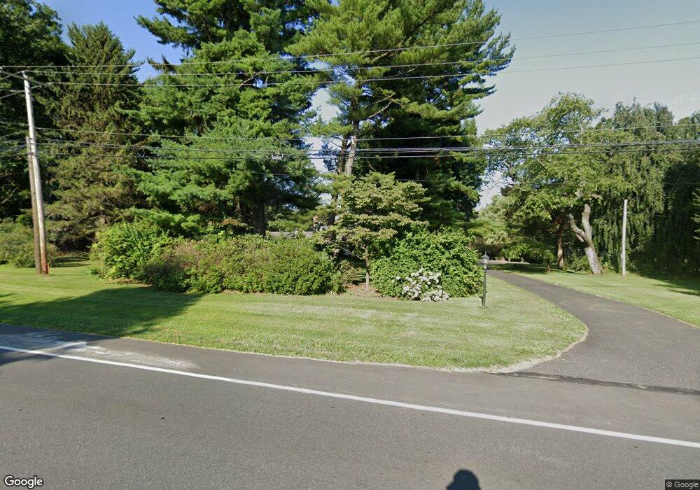
2098 S Cedar Crest Blvd Allentown, PA 18103
Lower Macungie Township East NeighborhoodEstimated Value: $751,037 - $842,000
5
Beds
6
Baths
4,066
Sq Ft
$196/Sq Ft
Est. Value
About This Home
This home is located at 2098 S Cedar Crest Blvd, Allentown, PA 18103 and is currently estimated at $797,259, approximately $196 per square foot. 2098 S Cedar Crest Blvd is a home located in Lehigh County with nearby schools including Wescosville Elementary School, Lower Macungie Middle School, and Emmaus High School.
Ownership History
Date
Name
Owned For
Owner Type
Purchase Details
Closed on
Jan 8, 2017
Sold by
Rodale Inc
Bought by
Rodale Institute
Current Estimated Value
Purchase Details
Closed on
Sep 29, 2003
Sold by
Rodale Ardath H and Rodale Ardath J
Bought by
Rodale Ardath H and The Ardath H Rodale Amended & Restated L
Create a Home Valuation Report for This Property
The Home Valuation Report is an in-depth analysis detailing your home's value as well as a comparison with similar homes in the area
Home Values in the Area
Average Home Value in this Area
Purchase History
| Date | Buyer | Sale Price | Title Company |
|---|---|---|---|
| Rodale Institute | -- | None Available | |
| Rodale Ardath H | -- | -- |
Source: Public Records
Tax History Compared to Growth
Tax History
| Year | Tax Paid | Tax Assessment Tax Assessment Total Assessment is a certain percentage of the fair market value that is determined by local assessors to be the total taxable value of land and additions on the property. | Land | Improvement |
|---|---|---|---|---|
| 2025 | $9,007 | $442,100 | $89,300 | $352,800 |
| 2024 | $8,714 | $442,100 | $89,300 | $352,800 |
| 2023 | $8,540 | $442,100 | $89,300 | $352,800 |
| 2022 | $8,338 | $442,100 | $352,800 | $89,300 |
| 2021 | $8,161 | $442,100 | $89,300 | $352,800 |
| 2020 | $8,083 | $442,100 | $89,300 | $352,800 |
| 2019 | $9,956 | $442,100 | $89,300 | $352,800 |
| 2018 | $9,826 | $442,100 | $89,300 | $352,800 |
| 2017 | $9,654 | $442,100 | $89,300 | $352,800 |
| 2016 | $1,627 | $442,100 | $89,300 | $352,800 |
| 2015 | -- | $437,900 | $89,300 | $348,600 |
| 2014 | -- | $437,900 | $89,300 | $348,600 |
Source: Public Records
Map
Nearby Homes
- 2300 S Cedar Crest Blvd
- 2117 Isabel Ln
- 2153 Isabel Ln
- 2096 Gregory Dr
- Henley Plan at Mountainview Estates
- Penny Plan at Mountainview Estates
- 2041 Gregory Dr
- 3123 Sussex Rd
- 1141 Glick Ave
- 1164 Clearwood Dr
- 2570 Millbrook Dr
- 1122 Bellair Dr
- 2518 Stanford Cir
- 3601 Country Club Rd
- 2834 Sheffield Dr
- 4762 Steeplechase Dr Unit 13C
- 2560 Gracie Lone
- 3186 Overlook Dr
- 2980 Sheffield Dr
- 3045 Sheffield Dr
- 2158 S Cedar Crest Blvd
- 2056 Minesite Rd
- 3762 Devonshire Rd
- 2168 S Cedar Crest Blvd
- 2204 S Cedar Crest Blvd
- 3730 Devonshire Rd
- 3748 Devonshire Rd
- 2210 S Cedar Crest Blvd
- 3761 Devonshire Rd
- 2198 S Cedar Crest Blvd
- 2178 S Cedar Crest Blvd
- 3741 Devonshire Rd
- 3791 Maulfair Dr
- 3732 Devonshire Rd
- 2254 S Cedar Crest Blvd
- 3805 Maulfair Dr
- 3760 Fox Run Dr
- 3740 Fox Run Dr
- 3829 Maulfair Dr
- 2060 Minesite Rd