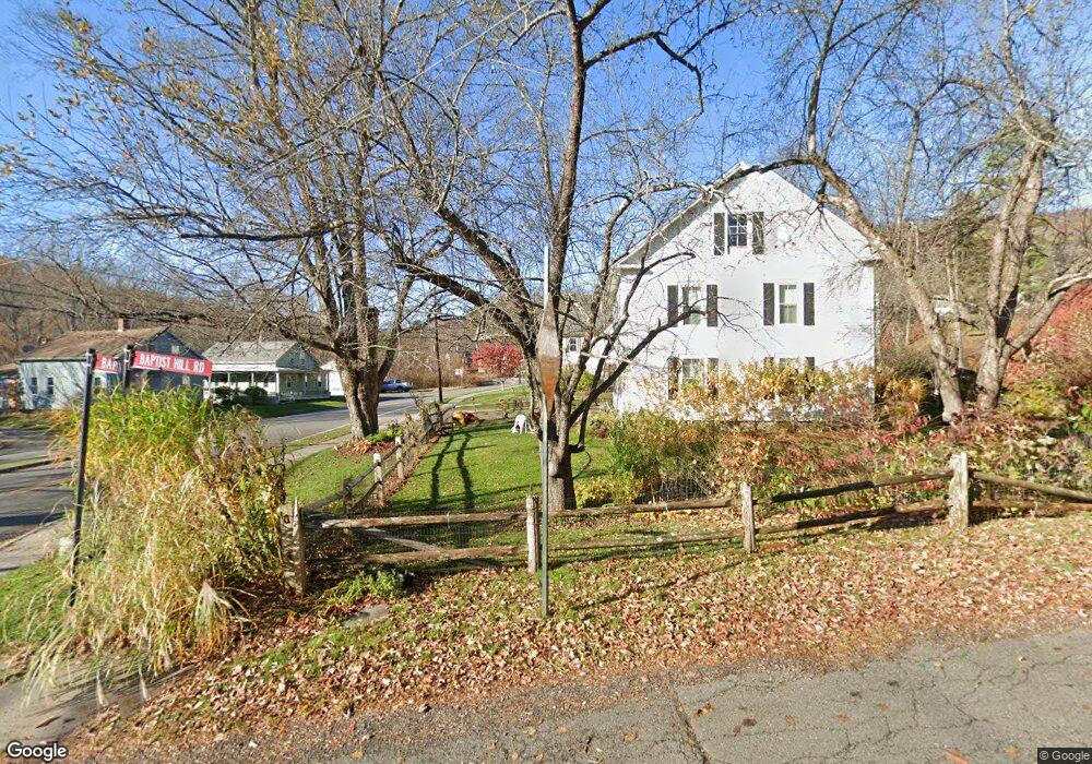
21 Baptist Hill Rd Conway, MA 01341
Estimated Value: $315,811 - $442,000
4
Beds
1
Bath
1,353
Sq Ft
$270/Sq Ft
Est. Value
About This Home
This home is located at 21 Baptist Hill Rd, Conway, MA 01341 and is currently estimated at $365,453, approximately $270 per square foot. 21 Baptist Hill Rd is a home with nearby schools including Frontier Regional School.
Ownership History
Date
Name
Owned For
Owner Type
Purchase Details
Closed on
Apr 7, 1992
Sold by
Mccarthy Thomas J and Mccarthy Susan M
Bought by
Harrison John F and Irwin Mary E
Current Estimated Value
Home Financials for this Owner
Home Financials are based on the most recent Mortgage that was taken out on this home.
Original Mortgage
$95,000
Interest Rate
8.73%
Mortgage Type
Purchase Money Mortgage
Create a Home Valuation Report for This Property
The Home Valuation Report is an in-depth analysis detailing your home's value as well as a comparison with similar homes in the area
Home Values in the Area
Average Home Value in this Area
Purchase History
| Date | Buyer | Sale Price | Title Company |
|---|---|---|---|
| Harrison John F | $128,000 | -- |
Source: Public Records
Mortgage History
| Date | Status | Borrower | Loan Amount |
|---|---|---|---|
| Open | Harrison John F | $7,080 | |
| Open | Harrison John F | $75,000 | |
| Closed | Harrison John F | $94,000 | |
| Closed | Harrison John F | $95,000 |
Source: Public Records
Tax History
| Year | Tax Paid | Tax Assessment Tax Assessment Total Assessment is a certain percentage of the fair market value that is determined by local assessors to be the total taxable value of land and additions on the property. | Land | Improvement |
|---|---|---|---|---|
| 2025 | $3,873 | $268,200 | $73,700 | $194,500 |
| 2024 | $3,554 | $216,700 | $67,000 | $149,700 |
| 2023 | $3,716 | $216,700 | $67,000 | $149,700 |
| 2022 | $3,603 | $200,700 | $62,100 | $138,600 |
| 2021 | $3,551 | $189,600 | $59,300 | $130,300 |
| 2020 | $3,375 | $179,900 | $59,000 | $120,900 |
| 2019 | $3,355 | $179,900 | $59,000 | $120,900 |
| 2018 | $3,171 | $171,400 | $59,000 | $112,400 |
| 2017 | $3,042 | $171,400 | $59,000 | $112,400 |
| 2016 | $2,650 | $158,900 | $51,600 | $107,300 |
| 2015 | $2,569 | $158,900 | $51,600 | $107,300 |
Source: Public Records
Map
Nearby Homes
- lot 1 Shelburne Falls Rd
- 85 Dacey Rd
- 71 Mathews Rd
- 3 Adams Ct Unit A
- 240 Beldingville Rd
- 527 Main St
- 355 Greenfield Rd
- 208 Greenfield Rd
- 24 Elm St
- 0 Greenfield Rd Unit 73472322
- 59 N Hillside Rd
- 0 North St Unit 73407299
- 7 Christian Ln
- 40 Suburban Dr
- 15 Crestview Dr
- 18 Stage Rd
- 102 Elm St
- 143 E Buckland Rd
- 259 Wisdom Way
- 0 Pocumtuck Dr Unit 73379330
- 12 River St
- 16 Baptist Hill Rd
- 37 Baptist Hill Rd
- 18 Baptist Hill Rd
- Lot Z Shelburne Falls Rd
- 34 River St
- 98 Main St
- 38 Baptist Hill Rd
- 21 River St
- 51 Baptist Hill Rd
- 95 Main St
- 11 River St
- 45 Upper Baptist Hill Rd
- 86 Main St
- 50 Baptist Hill Rd
- 75 Main St
- 67 Upper Baptist Hill Rd
- 56 Baptist Hill Rd
- 70 Main St
- 79 Upper Baptist Hill Rd
Your Personal Tour Guide
Ask me questions while you tour the home.