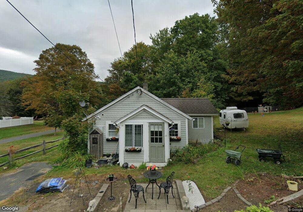
21 Birch Rd Shelburne Falls, MA 01370
Buckland NeighborhoodEstimated Value: $175,170 - $338,000
1
Bed
1
Bath
496
Sq Ft
$516/Sq Ft
Est. Value
About This Home
This home is located at 21 Birch Rd, Shelburne Falls, MA 01370 and is currently estimated at $256,043, approximately $516 per square foot. 21 Birch Rd is a home with nearby schools including Mohawk Trail Regional High School.
Ownership History
Date
Name
Owned For
Owner Type
Purchase Details
Closed on
Oct 7, 2002
Sold by
Paradis Anne M and Cavanaugh Linda M
Bought by
Wells Dorothy L
Current Estimated Value
Home Financials for this Owner
Home Financials are based on the most recent Mortgage that was taken out on this home.
Original Mortgage
$40,000
Interest Rate
6.27%
Mortgage Type
Purchase Money Mortgage
Create a Home Valuation Report for This Property
The Home Valuation Report is an in-depth analysis detailing your home's value as well as a comparison with similar homes in the area
Home Values in the Area
Average Home Value in this Area
Purchase History
| Date | Buyer | Sale Price | Title Company |
|---|---|---|---|
| Wells Dorothy L | $50,000 | -- |
Source: Public Records
Mortgage History
| Date | Status | Borrower | Loan Amount |
|---|---|---|---|
| Open | Wells Dorothy L | $48,500 | |
| Closed | Wells Dorothy L | $40,000 |
Source: Public Records
Tax History
| Year | Tax Paid | Tax Assessment Tax Assessment Total Assessment is a certain percentage of the fair market value that is determined by local assessors to be the total taxable value of land and additions on the property. | Land | Improvement |
|---|---|---|---|---|
| 2025 | $2,468 | $145,700 | $45,800 | $99,900 |
| 2024 | $2,457 | $139,900 | $45,800 | $94,100 |
| 2023 | $2,201 | $129,900 | $45,800 | $84,100 |
| 2022 | $2,180 | $129,900 | $45,800 | $84,100 |
| 2021 | $2,087 | $117,000 | $45,800 | $71,200 |
| 2020 | $2,008 | $108,400 | $45,800 | $62,600 |
| 2019 | $1,917 | $102,900 | $45,800 | $57,100 |
| 2018 | $1,889 | $100,200 | $45,800 | $54,400 |
| 2017 | $1,809 | $100,200 | $45,800 | $54,400 |
| 2016 | $1,690 | $100,000 | $45,800 | $54,200 |
| 2015 | $1,680 | $100,000 | $45,800 | $54,200 |
Source: Public Records
Map
Nearby Homes
- 13 Bray Rd
- 10 Deerfield Ave Unit 2
- 30 Main St
- 2151 Route 2
- 2155 Massachusetts 2
- 7 Hog Hollow Rd
- 0 Upper St
- 24 W Oxbow Rd
- 0 N Bear River Rd Unit 73485981
- 0 W Oxbow Rd Unit 73453651
- 0 W Oxbow Rd Unit 248444
- 1451 Massachusetts 2
- 1451 Route 2 E
- 240 Beldingville Rd
- 414 Mohawk Trail
- 714 Colrain Rd
- 527 Main St
- 32 Homestead Ave
- 151 Smead Hill Rd
- 8 Deer Run Path
Your Personal Tour Guide
Ask me questions while you tour the home.