21 Bobcat Ln Fairview, NC 28730
Estimated Value: $867,000 - $1,338,000
3
Beds
4
Baths
2,650
Sq Ft
$443/Sq Ft
Est. Value
About This Home
This home is located at 21 Bobcat Ln, Fairview, NC 28730 and is currently estimated at $1,175,035, approximately $443 per square foot. 21 Bobcat Ln is a home located in Buncombe County with nearby schools including A.C. Reynolds High School, Fairview Elementary School, and Cane Creek Middle.
Ownership History
Date
Name
Owned For
Owner Type
Purchase Details
Closed on
Nov 20, 2020
Sold by
Young Darlene M
Bought by
Marano Meredith C and Marano Michael D
Current Estimated Value
Home Financials for this Owner
Home Financials are based on the most recent Mortgage that was taken out on this home.
Original Mortgage
$509,000
Outstanding Balance
$452,938
Interest Rate
2.8%
Mortgage Type
New Conventional
Estimated Equity
$722,097
Purchase Details
Closed on
Dec 7, 2005
Sold by
Miller Jessie P and Miller Callie
Bought by
Young Thomas W and Young Darlene M
Create a Home Valuation Report for This Property
The Home Valuation Report is an in-depth analysis detailing your home's value as well as a comparison with similar homes in the area
Home Values in the Area
Average Home Value in this Area
Purchase History
| Date | Buyer | Sale Price | Title Company |
|---|---|---|---|
| Marano Meredith C | $706,500 | None Available | |
| Young Thomas W | $44,000 | -- |
Source: Public Records
Mortgage History
| Date | Status | Borrower | Loan Amount |
|---|---|---|---|
| Open | Marano Meredith C | $509,000 |
Source: Public Records
Tax History
| Year | Tax Paid | Tax Assessment Tax Assessment Total Assessment is a certain percentage of the fair market value that is determined by local assessors to be the total taxable value of land and additions on the property. | Land | Improvement |
|---|---|---|---|---|
| 2025 | $4,951 | $926,600 | $69,800 | $856,800 |
| 2024 | $4,951 | $730,700 | $84,800 | $645,900 |
| 2023 | $4,951 | $730,700 | $84,800 | $645,900 |
| 2022 | $4,629 | $730,700 | $0 | $0 |
| 2021 | $4,629 | $730,700 | $0 | $0 |
| 2020 | $3,922 | $581,300 | $0 | $0 |
| 2019 | $3,922 | $581,300 | $0 | $0 |
| 2018 | $3,745 | $581,300 | $0 | $0 |
| 2017 | $3,744 | $486,300 | $0 | $0 |
| 2016 | $3,449 | $486,300 | $0 | $0 |
| 2015 | $3,492 | $486,300 | $0 | $0 |
| 2014 | $3,494 | $486,300 | $0 | $0 |
Source: Public Records
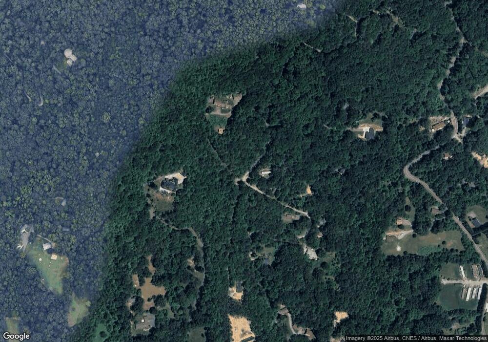
Map
Nearby Homes
- 67 Flat Top Mountain Rd
- 80 Ivy Cove Rd
- 73 the Old Run Rd
- 90 Indian Mound Trail
- 425 Flat Top Mountain Rd
- 38 Gollum Dr
- 4 Lynnette Dr
- 1 Lynnette Dr
- 16 Rusty Clay Ridge
- 808 Old Fort Rd
- 66 Enterprise Dr Unit 66
- 48 Buck Ridge Rd
- 116 Vehorn Rd
- 99999 Chestnut Forest Rd Unit 412 & 413
- 00 Rock Springs Rd Unit 10
- 310 Log Gap Rd
- 999 Red Oak Forest Rd
- 999999 Old Fort Rd
- 30 Red Oak Forest Rd
- 5 Becky Ln
- TBD Bob Cat Ln
- 74 Mountain View Ridge
- 56 Mountain View Ridge
- 24 Bobcat Ln
- 61 Mountain View Ridge
- 75 Mountain View Ridge
- 000 Hoot Owl Hollow
- 33 Mountain View Ridge
- 55 Mountain View Ridge
- 116 Hoot Owl Hollow
- 999 Hoot Owl Hollow
- 111 Hoot Owl Hollow
- 16 Bobcat Ln
- 32 Flat Top Mountain Rd
- 23 Mountain View Ridge
- 19 Mountain View Ridge
- 42 Flat Top Mountain Rd
- 78 Flat Top Mountain Rd
- 32 Bobcat Ln
- 63 Flat Top Mountain Rd
Your Personal Tour Guide
Ask me questions while you tour the home.