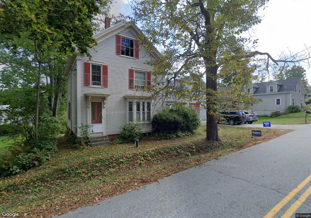
21 Cobbs Bridge Rd New Gloucester, ME 04260
Estimated Value: $352,000 - $663,000
4
Beds
3
Baths
2,300
Sq Ft
$218/Sq Ft
Est. Value
About This Home
This home is located at 21 Cobbs Bridge Rd, New Gloucester, ME 04260 and is currently estimated at $502,249, approximately $218 per square foot. 21 Cobbs Bridge Rd is a home located in Cumberland County with nearby schools including Gray-New Gloucester High School.
Ownership History
Date
Name
Owned For
Owner Type
Purchase Details
Closed on
Nov 3, 2011
Sold by
Gundersdorf Betty O and Gundersdorf John C
Bought by
Robinson Kevin and Robinson Joshua
Current Estimated Value
Home Financials for this Owner
Home Financials are based on the most recent Mortgage that was taken out on this home.
Original Mortgage
$250,510
Outstanding Balance
$170,065
Interest Rate
4.08%
Mortgage Type
Purchase Money Mortgage
Estimated Equity
$332,184
Create a Home Valuation Report for This Property
The Home Valuation Report is an in-depth analysis detailing your home's value as well as a comparison with similar homes in the area
Home Values in the Area
Average Home Value in this Area
Purchase History
| Date | Buyer | Sale Price | Title Company |
|---|---|---|---|
| Robinson Kevin | -- | -- |
Source: Public Records
Mortgage History
| Date | Status | Borrower | Loan Amount |
|---|---|---|---|
| Open | Robinson Kevin | $250,510 |
Source: Public Records
Tax History Compared to Growth
Tax History
| Year | Tax Paid | Tax Assessment Tax Assessment Total Assessment is a certain percentage of the fair market value that is determined by local assessors to be the total taxable value of land and additions on the property. | Land | Improvement |
|---|---|---|---|---|
| 2025 | $4,689 | $303,079 | $87,804 | $215,275 |
| 2024 | $4,513 | $303,079 | $87,804 | $215,275 |
| 2023 | $4,331 | $303,079 | $87,804 | $215,275 |
| 2022 | $4,182 | $303,079 | $87,804 | $215,275 |
| 2021 | $4,182 | $303,079 | $87,804 | $215,275 |
| 2020 | $4,119 | $301,738 | $87,804 | $213,934 |
| 2019 | $3,529 | $208,800 | $55,100 | $153,700 |
| 2018 | $3,299 | $208,800 | $55,100 | $153,700 |
| 2017 | $2,963 | $208,800 | $55,100 | $153,700 |
| 2016 | $1,385 | $208,800 | $55,100 | $153,700 |
| 2015 | $3,059 | $208,800 | $55,100 | $153,700 |
| 2014 | $3,028 | $208,800 | $55,100 | $153,700 |
| 2013 | $2,808 | $208,800 | $55,100 | $153,700 |
Source: Public Records
Map
Nearby Homes
- 10 Cobbs Bridge Rd
- 160 Gloucester Hill Rd
- 164 Intervale Rd
- 155 & 151 Gloucester Hill Rd
- 0018-C Gloucester Hill Rd
- 200 Woodman Rd
- 22 Shaw Rd
- 271 Bennett Rd
- 12 Country Charm Ln
- 29 Rockwood Dr
- 24 Swamp Rd
- TBD Targett Rd
- 10-56 C&E Bowdoin Way
- 14 Golden Way
- 65 Blueberry Ln
- 423 Sabbathday Rd
- 161 Beaver Dam Dr
- 0 Mayall
- 343 Shaker Rd
- 10 Spring Valley Ln
- 17 Cobbs Bridge Rd
- 16 Cobbs Bridge Rd
- 8 Grange Hall Rd
- 22 Cobbs Bridge Rd
- 31 Cobbs Bridge Rd
- 14 Cobbs Bridge Rd
- 12 Grange Hall Rd
- 9 Cobbs Bridge Rd
- 388 Intervale Rd
- 30 Cobbs Bridge Rd
- 5 Cobbs Bridge Rd
- 5 Cobb's Bridge Rd
- 43 Cobbs Bridge Rd
- 42 Cobbs Bridge Rd
- 30 Cobbs Bridge Rd
- 384 Intervale Rd
- 400 Intervale Rd
- 410 Intervale Rd
- 22 Grange Hall Rd
- 0 Cobb's Bridge