Estimated Value: $505,000 - $600,000
3
Beds
3
Baths
1,791
Sq Ft
$307/Sq Ft
Est. Value
About This Home
This home is located at 21 Craig Rd, Weare, NH 03281 and is currently estimated at $550,185, approximately $307 per square foot. 21 Craig Rd is a home with nearby schools including Center Woods Elementary School, Weare Middle School, and John Stark Regional High School.
Create a Home Valuation Report for This Property
The Home Valuation Report is an in-depth analysis detailing your home's value as well as a comparison with similar homes in the area
Home Values in the Area
Average Home Value in this Area
Tax History Compared to Growth
Tax History
| Year | Tax Paid | Tax Assessment Tax Assessment Total Assessment is a certain percentage of the fair market value that is determined by local assessors to be the total taxable value of land and additions on the property. | Land | Improvement |
|---|---|---|---|---|
| 2024 | $7,414 | $363,600 | $208,500 | $155,100 |
| 2023 | $6,850 | $363,600 | $208,500 | $155,100 |
| 2022 | $6,227 | $357,900 | $205,200 | $152,700 |
| 2021 | $4,787 | $278,300 | $205,200 | $73,100 |
| 2020 | $4,167 | $174,000 | $125,200 | $48,800 |
| 2019 | $4,126 | $174,000 | $125,200 | $48,800 |
| 2018 | $4,007 | $174,000 | $125,200 | $48,800 |
| 2016 | $3,892 | $174,000 | $125,200 | $48,800 |
| 2015 | $4,002 | $178,600 | $133,400 | $45,200 |
| 2014 | $3,967 | $178,600 | $133,400 | $45,200 |
| 2013 | $3,885 | $178,600 | $133,400 | $45,200 |
Source: Public Records
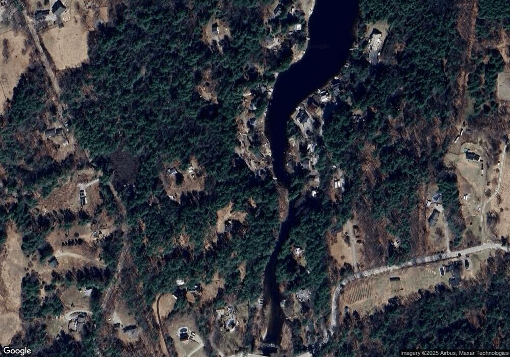
Map
Nearby Homes
- 107 Branch Rd
- 30 Dels Way
- Lot 13 E Deering Rd
- 62 Collins Landing Rd Unit 46
- 194 Buckley Rd Unit 2
- 194 Buckley Rd Unit 44
- 108 E Shore Dr
- 281 Hodgdon Rd
- 101-125 Winslow Rd
- 233 N Stark Hwy
- 92 Woodbury Rd
- 9 Reservoir Rd
- 10 Sap House Rd
- 463 Craney Hill Rd
- 126 Fisher Rd
- 200 Mountain Rd
- 11 White Birch Rd
- 196 Deering Center Rd
- 586 C-4 Craney Hill Rd
- 475 Old County Rd