21 D St Conway, NH 03818
Estimated Value: $425,000 - $498,000
2
Beds
3
Baths
1,650
Sq Ft
$272/Sq Ft
Est. Value
About This Home
This home is located at 21 D St, Conway, NH 03818 and is currently estimated at $448,385, approximately $271 per square foot. 21 D St is a home with nearby schools including A. Crosby Kennett Middle School, Kennett High School, and Robert Frost Charter School.
Ownership History
Date
Name
Owned For
Owner Type
Purchase Details
Closed on
Oct 31, 2007
Sold by
Parent Frank G and Parent Sandra D
Bought by
Abecasis Lynn
Current Estimated Value
Home Financials for this Owner
Home Financials are based on the most recent Mortgage that was taken out on this home.
Original Mortgage
$185,843
Outstanding Balance
$117,888
Interest Rate
6.43%
Mortgage Type
Purchase Money Mortgage
Estimated Equity
$330,497
Purchase Details
Closed on
Nov 15, 2005
Sold by
Northwood Rt
Bought by
Parent Frank G and Parent Sandra
Home Financials for this Owner
Home Financials are based on the most recent Mortgage that was taken out on this home.
Original Mortgage
$70,000
Interest Rate
5.93%
Mortgage Type
Purchase Money Mortgage
Create a Home Valuation Report for This Property
The Home Valuation Report is an in-depth analysis detailing your home's value as well as a comparison with similar homes in the area
Home Values in the Area
Average Home Value in this Area
Purchase History
| Date | Buyer | Sale Price | Title Company |
|---|---|---|---|
| Abecasis Lynn | $188,000 | -- | |
| Parent Frank G | $189,900 | -- |
Source: Public Records
Mortgage History
| Date | Status | Borrower | Loan Amount |
|---|---|---|---|
| Open | Parent Frank G | $185,843 | |
| Previous Owner | Parent Frank G | $70,000 |
Source: Public Records
Tax History Compared to Growth
Tax History
| Year | Tax Paid | Tax Assessment Tax Assessment Total Assessment is a certain percentage of the fair market value that is determined by local assessors to be the total taxable value of land and additions on the property. | Land | Improvement |
|---|---|---|---|---|
| 2024 | $4,230 | $329,200 | $62,200 | $267,000 |
| 2023 | $3,924 | $329,200 | $62,200 | $267,000 |
| 2022 | $3,275 | $168,300 | $48,000 | $120,300 |
| 2021 | $2,750 | $168,300 | $48,000 | $120,300 |
| 2020 | $3,090 | $168,300 | $48,000 | $120,300 |
| 2019 | $2,915 | $168,300 | $48,000 | $120,300 |
| 2018 | $3,044 | $140,000 | $41,000 | $99,000 |
| 2017 | $2,970 | $140,000 | $41,000 | $99,000 |
| 2016 | $2,996 | $140,000 | $41,000 | $99,000 |
| 2015 | $2,673 | $140,000 | $41,000 | $99,000 |
| 2014 | $2,640 | $140,000 | $41,000 | $99,000 |
| 2013 | $2,636 | $147,600 | $41,000 | $106,600 |
Source: Public Records
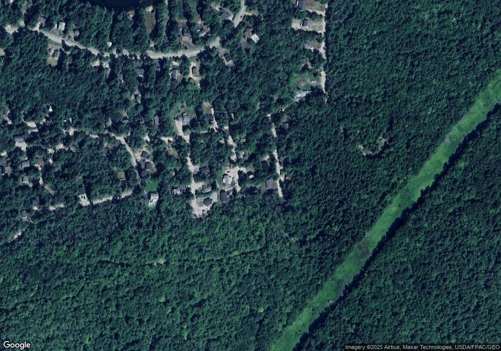
Map
Nearby Homes
- 122 Mountain View Dr
- 0 B St Unit 65
- lots42,43,44,49 G St
- 86 I St
- 77 Kennett St
- 7 Wildwood Rd
- 369 Tasker Hill Rd
- 143 Holly Ridge Ln
- 15 Klausen Rd
- 8 Grimsel Rd
- 149 Allard Hill Rd
- 237 Eaton Rd
- 40 Butternut Ln
- 58 Wilder St
- 6 Main St
- 25 Upper Lake View Dr
- 25+18 Upper Lakeview+rigi Dr
- 20 Washington St
- 592 Eaton Rd
- 18 Rigi Rd