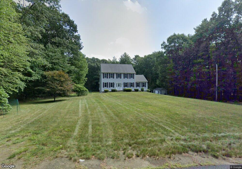
21 Duval Rd Sutton, MA 01590
Estimated Value: $702,464 - $844,000
3
Beds
3
Baths
2,314
Sq Ft
$337/Sq Ft
Est. Value
About This Home
This home is located at 21 Duval Rd, Sutton, MA 01590 and is currently estimated at $780,616, approximately $337 per square foot. 21 Duval Rd is a home located in Worcester County with nearby schools including Sutton Elementary School, Sutton Middle School, and Sutton High School.
Ownership History
Date
Name
Owned For
Owner Type
Purchase Details
Closed on
Jun 28, 1999
Sold by
Tjk Inc
Bought by
Mackinnon Diane R and Greenlees Christopher
Current Estimated Value
Home Financials for this Owner
Home Financials are based on the most recent Mortgage that was taken out on this home.
Original Mortgage
$191,900
Outstanding Balance
$51,760
Interest Rate
7.09%
Mortgage Type
Purchase Money Mortgage
Estimated Equity
$728,856
Purchase Details
Closed on
Nov 23, 1998
Sold by
Johnson Alice B
Bought by
Tjk Inc
Create a Home Valuation Report for This Property
The Home Valuation Report is an in-depth analysis detailing your home's value as well as a comparison with similar homes in the area
Home Values in the Area
Average Home Value in this Area
Purchase History
| Date | Buyer | Sale Price | Title Company |
|---|---|---|---|
| Mackinnon Diane R | $239,900 | -- | |
| Tjk Inc | $55,000 | -- |
Source: Public Records
Mortgage History
| Date | Status | Borrower | Loan Amount |
|---|---|---|---|
| Open | Tjk Inc | $191,900 |
Source: Public Records
Tax History
| Year | Tax Paid | Tax Assessment Tax Assessment Total Assessment is a certain percentage of the fair market value that is determined by local assessors to be the total taxable value of land and additions on the property. | Land | Improvement |
|---|---|---|---|---|
| 2025 | $7,706 | $641,100 | $198,800 | $442,300 |
| 2024 | $7,742 | $610,600 | $188,100 | $422,500 |
| 2023 | $7,321 | $528,600 | $172,100 | $356,500 |
| 2022 | $7,053 | $464,600 | $140,900 | $323,700 |
| 2021 | $6,720 | $420,000 | $140,900 | $279,100 |
| 2020 | $6,661 | $420,000 | $140,900 | $279,100 |
| 2019 | $6,525 | $395,000 | $140,900 | $254,100 |
| 2018 | $5,976 | $361,100 | $122,300 | $238,800 |
| 2017 | $5,846 | $354,300 | $109,400 | $244,900 |
| 2016 | $5,756 | $345,100 | $109,400 | $235,700 |
| 2015 | $5,459 | $327,300 | $109,400 | $217,900 |
| 2014 | $5,164 | $305,900 | $109,400 | $196,500 |
Source: Public Records
Map
Nearby Homes
- 29 Duval Rd
- 17 Duval Rd
- 39 Duval Rd
- 43 Duval Rd
- 40 Mumford Rd
- 24 Mumford Rd
- LOT 11 Stone School Rd Lot
- LOT 3 Quabbin Path
- LOT 2 Quabbin Path
- LOT2-C Stone School Rd
- LOT 40 Brookside Dr
- L-1 Burbank Rd
- LOT 4A Olivia Ln
- LOT 4 Butternut
- LOT 6 Danlyn Dr
- LOT4 Rebekah
- L 54 Trilliam Run
- LOT 53 Stonebridge Farms
- L-30A Clover Hill Rd
- L-5A Tipperary Dr
Your Personal Tour Guide
Ask me questions while you tour the home.