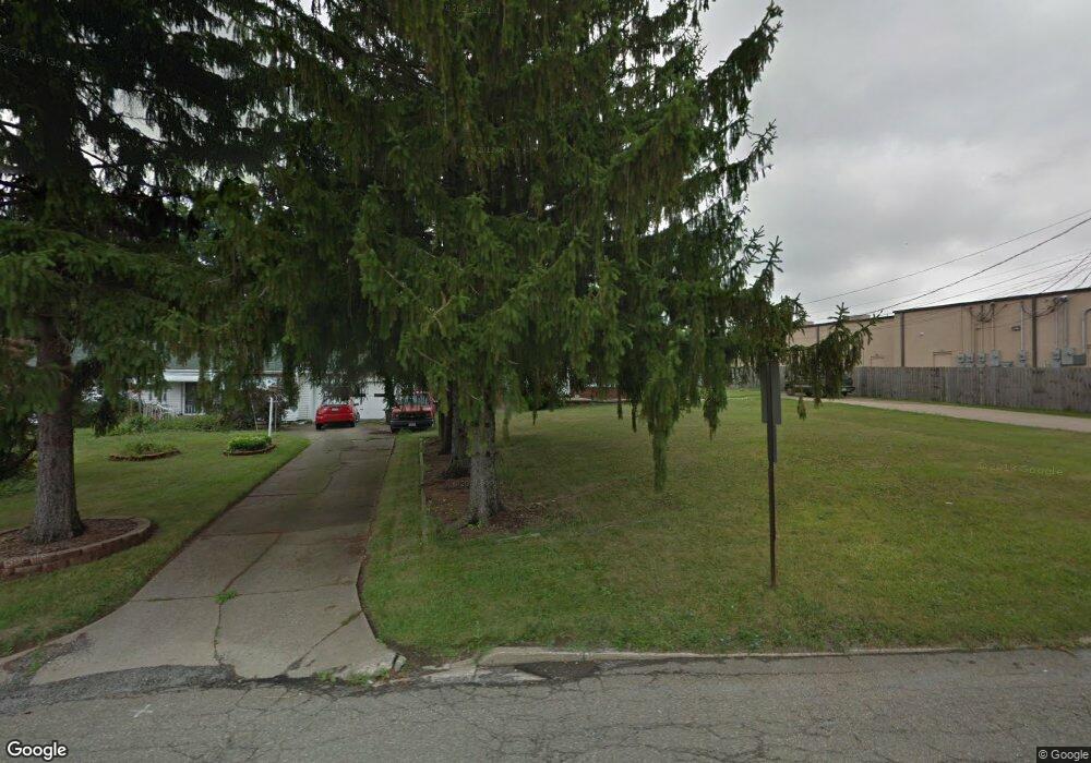
21 Evans Ave Youngstown, OH 44515
Austintown NeighborhoodEstimated Value: $162,000 - $198,000
3
Beds
1
Bath
1,259
Sq Ft
$139/Sq Ft
Est. Value
About This Home
This home is located at 21 Evans Ave, Youngstown, OH 44515 and is currently estimated at $175,281, approximately $139 per square foot. 21 Evans Ave is a home located in Mahoning County with nearby schools including Austintown Elementary School, Austintown Intermediate School, and Austintown Middle School.
Ownership History
Date
Name
Owned For
Owner Type
Purchase Details
Closed on
Apr 29, 2015
Sold by
Haney Joseph M and Haney Deborah
Bought by
Sabel Robert D and Thomas George
Current Estimated Value
Purchase Details
Closed on
May 4, 2004
Sold by
Haney Joseph M
Bought by
Haney Joseph M
Purchase Details
Closed on
Mar 12, 2004
Sold by
Estate Of Phillis J Haney
Bought by
Haney Joseph M
Purchase Details
Closed on
Jan 15, 1969
Bought by
Haney Jos M and Haney Phillis J
Create a Home Valuation Report for This Property
The Home Valuation Report is an in-depth analysis detailing your home's value as well as a comparison with similar homes in the area
Home Values in the Area
Average Home Value in this Area
Purchase History
| Date | Buyer | Sale Price | Title Company |
|---|---|---|---|
| Sabel Robert D | $17,000 | Attorney | |
| Haney Joseph M | -- | -- | |
| Haney Joseph M | -- | -- | |
| Haney Jos M | -- | -- |
Source: Public Records
Tax History
| Year | Tax Paid | Tax Assessment Tax Assessment Total Assessment is a certain percentage of the fair market value that is determined by local assessors to be the total taxable value of land and additions on the property. | Land | Improvement |
|---|---|---|---|---|
| 2025 | $2,772 | $56,530 | $7,690 | $48,840 |
| 2024 | $2,649 | $56,530 | $7,690 | $48,840 |
| 2023 | $2,608 | $56,530 | $7,690 | $48,840 |
| 2022 | $2,190 | $38,030 | $7,690 | $30,340 |
| 2021 | $2,192 | $38,030 | $7,690 | $30,340 |
| 2020 | $2,201 | $38,030 | $7,690 | $30,340 |
| 2019 | $2,078 | $32,700 | $6,990 | $25,710 |
| 2018 | $2,003 | $32,700 | $6,990 | $25,710 |
| 2017 | $1,966 | $32,700 | $6,990 | $25,710 |
| 2016 | $1,933 | $31,300 | $6,990 | $24,310 |
| 2015 | $1,510 | $25,190 | $6,990 | $18,200 |
| 2014 | -- | $25,190 | $6,990 | $18,200 |
| 2013 | $1,502 | $25,190 | $6,990 | $18,200 |
Source: Public Records
Map
Nearby Homes
- 4828 Shadow Oak Dr
- 4876 Shadow Oak Dr
- 4888 Shadow Oak Dr
- 0 Norquest Blvd Unit 5175953
- 0 Norquest Blvd Unit 5175593
- 225 S Raccoon Rd
- 148 Marcia Dr
- 5109 W Elmwood Ave
- 406 S Raccoon Rd
- 97 Idlewood Rd
- 116 Dehoff Dr
- 603 S Raccoon Rd Unit 9
- 603 S Raccoon Rd Unit 14
- 603 S Raccoon Rd Unit 61
- 4258 Mahoning Ave
- 181 N Yorkshire Blvd
- 119 S Beverly Ave
- 158 Dehoff Dr
- 3794-3796 Mahoning Ave
- 238 Aldrich Rd
Your Personal Tour Guide
Ask me questions while you tour the home.