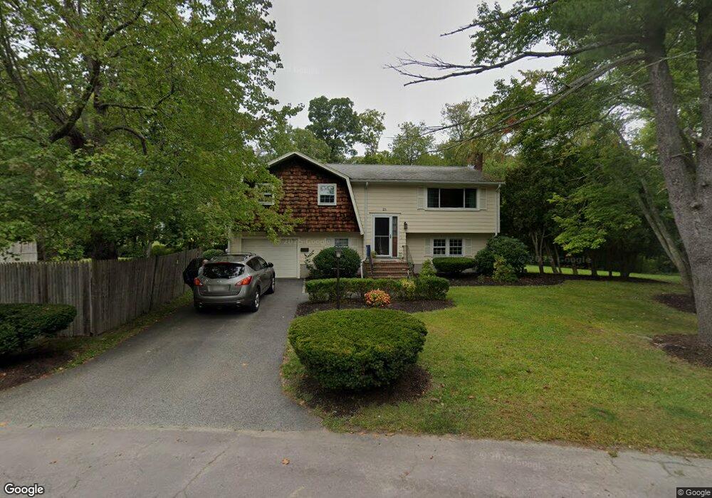
21 Fisher Rd Cohasset, MA 02025
Estimated Value: $745,000 - $783,000
--
Bed
2
Baths
1,731
Sq Ft
$440/Sq Ft
Est. Value
About This Home
This home is located at 21 Fisher Rd, Cohasset, MA 02025 and is currently estimated at $762,478, approximately $440 per square foot. 21 Fisher Rd is a home located in Norfolk County with nearby schools including Joseph Osgood School, Deer Hill School, and Cohasset Middle School.
Ownership History
Date
Name
Owned For
Owner Type
Purchase Details
Closed on
Sep 2, 2022
Sold by
Kaye Roger L
Bought by
Driscoll Joseph and Driscoll Shanna
Current Estimated Value
Home Financials for this Owner
Home Financials are based on the most recent Mortgage that was taken out on this home.
Original Mortgage
$588,150
Outstanding Balance
$559,606
Interest Rate
5.1%
Mortgage Type
FHA
Estimated Equity
$202,872
Purchase Details
Closed on
Jun 9, 1975
Bought by
Kaye Roger Lance
Create a Home Valuation Report for This Property
The Home Valuation Report is an in-depth analysis detailing your home's value as well as a comparison with similar homes in the area
Home Values in the Area
Average Home Value in this Area
Purchase History
| Date | Buyer | Sale Price | Title Company |
|---|---|---|---|
| Driscoll Joseph | $599,000 | None Available | |
| Driscoll Joseph | $599,000 | None Available | |
| Kaye Roger Lance | -- | -- |
Source: Public Records
Mortgage History
| Date | Status | Borrower | Loan Amount |
|---|---|---|---|
| Open | Driscoll Joseph | $588,150 | |
| Closed | Driscoll Joseph | $588,150 | |
| Previous Owner | Kaye Roger Lance | $36,000 | |
| Previous Owner | Kaye Roger Lance | $35,000 |
Source: Public Records
Tax History Compared to Growth
Tax History
| Year | Tax Paid | Tax Assessment Tax Assessment Total Assessment is a certain percentage of the fair market value that is determined by local assessors to be the total taxable value of land and additions on the property. | Land | Improvement |
|---|---|---|---|---|
| 2025 | $6,939 | $599,200 | $327,700 | $271,500 |
| 2024 | $7,265 | $597,000 | $369,900 | $227,100 |
| 2023 | $5,550 | $470,300 | $237,100 | $233,200 |
| 2022 | $5,069 | $403,600 | $190,000 | $213,600 |
| 2021 | $5,191 | $398,100 | $190,000 | $208,100 |
| 2020 | $5,163 | $398,100 | $190,000 | $208,100 |
| 2019 | $5,135 | $398,100 | $190,000 | $208,100 |
| 2018 | $5,092 | $398,100 | $190,000 | $208,100 |
| 2017 | $4,736 | $362,600 | $180,900 | $181,700 |
| 2016 | $4,670 | $362,600 | $180,900 | $181,700 |
| 2015 | $4,609 | $362,600 | $180,900 | $181,700 |
| 2014 | $4,547 | $362,600 | $180,900 | $181,700 |
Source: Public Records
Map
Nearby Homes
- 114 Hull St
- 166 Hull St
- 129 Chief Justice Cushing Hwy
- LOT 1B Rockland St
- 10 Chestnut Place
- 321 Rockland St
- 6 Grace Dr
- 45 Ocean Ledge Dr
- 10 Ocean Ledge Dr
- 101 Rockland St
- 152 Forest Ave
- 1 Gatehouse Ln Unit 1
- 29 Heather Dr
- 33 Turkey Hill Ln
- 8 Evergreen Ln
- 1 Rockland St
- 105 East St
- 23 Wyola Rd
- 247 Forest Ave
- 137 Fairoaks Ln