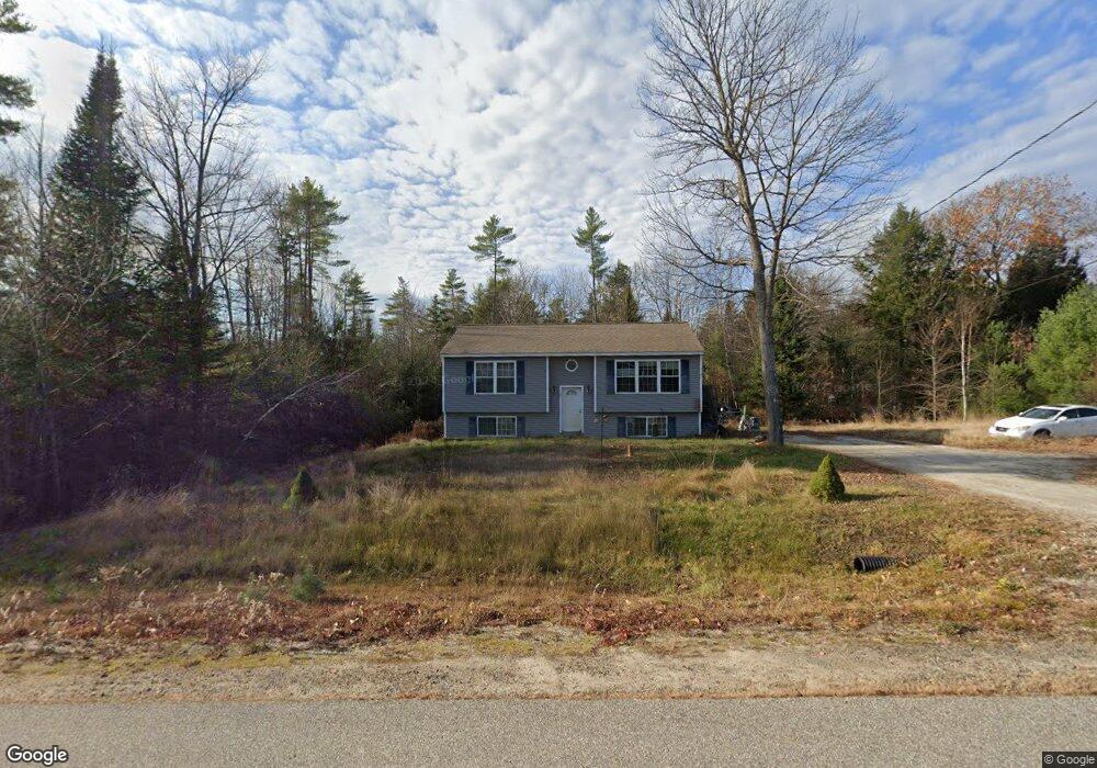
21 Jodies Way Steep Falls, ME 04085
Estimated Value: $382,056 - $436,000
3
Beds
1
Bath
950
Sq Ft
$438/Sq Ft
Est. Value
About This Home
This home is located at 21 Jodies Way, Steep Falls, ME 04085 and is currently estimated at $415,764, approximately $437 per square foot. 21 Jodies Way is a home with nearby schools including Bonny Eagle High School.
Ownership History
Date
Name
Owned For
Owner Type
Purchase Details
Closed on
Aug 5, 2011
Sold by
Whitten Jon H and Whitten Melody N
Bought by
Blanchard Jessica M
Current Estimated Value
Home Financials for this Owner
Home Financials are based on the most recent Mortgage that was taken out on this home.
Original Mortgage
$164,580
Outstanding Balance
$113,634
Interest Rate
4.51%
Mortgage Type
Purchase Money Mortgage
Estimated Equity
$302,130
Create a Home Valuation Report for This Property
The Home Valuation Report is an in-depth analysis detailing your home's value as well as a comparison with similar homes in the area
Home Values in the Area
Average Home Value in this Area
Purchase History
| Date | Buyer | Sale Price | Title Company |
|---|---|---|---|
| Blanchard Jessica M | -- | -- |
Source: Public Records
Mortgage History
| Date | Status | Borrower | Loan Amount |
|---|---|---|---|
| Open | Blanchard Jessica M | $164,580 |
Source: Public Records
Tax History Compared to Growth
Tax History
| Year | Tax Paid | Tax Assessment Tax Assessment Total Assessment is a certain percentage of the fair market value that is determined by local assessors to be the total taxable value of land and additions on the property. | Land | Improvement |
|---|---|---|---|---|
| 2024 | $3,243 | $257,400 | $68,100 | $189,300 |
| 2023 | $3,010 | $217,300 | $57,600 | $159,700 |
| 2022 | $2,818 | $195,000 | $51,500 | $143,500 |
| 2021 | $2,759 | $183,900 | $47,200 | $136,700 |
| 2019 | $2,528 | $176,800 | $45,000 | $131,800 |
| 2018 | $2,398 | $172,500 | $40,700 | $131,800 |
| 2017 | $2,286 | $172,500 | $40,700 | $131,800 |
| 2016 | $2,211 | $172,500 | $40,700 | $131,800 |
| 2015 | $2,206 | $172,500 | $40,700 | $131,800 |
| 2013 | $2,084 | $172,500 | $40,700 | $131,800 |
Source: Public Records
Map
Nearby Homes
- 599 Pequawket Trail
- 697 Sokokis Ave
- 683 Sokokis Ave
- 1079 Pequawket Trail
- 1097 Pequawket Trail
- 13 Airport Dr Unit O
- 13 Airport Dr Unit Q
- 34 Whispering Pine Dr
- 584 Sokokis Ave
- 419 Middle Rd
- 1222 Pequawket Trail
- TBD lot 4 Hanscomb School Rd
- 1269 Pequawket Trail
- 8 Maplewood Dr
- 99 July St
- 8 Mikes Way
- 187 Pequawket Trail
- 471 Sokokis Ave
- 67 Natures Way
- 1044 Ossipee Trail W