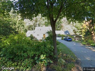
21 Johnson Rd Falmouth, ME 04105
Falmouth Foreside NeighborhoodEstimated Value: $1,071,938 - $1,281,000
4
Beds
3
Baths
2,271
Sq Ft
$511/Sq Ft
Est. Value
About This Home
This home is located at 21 Johnson Rd, Falmouth, ME 04105 and is currently estimated at $1,161,485, approximately $511 per square foot. 21 Johnson Rd is a home located in Cumberland County with nearby schools including Falmouth Middle School and Falmouth High School.
Ownership History
Date
Name
Owned For
Owner Type
Purchase Details
Closed on
Nov 22, 2021
Sold by
Thomas Matthew and Thomas Katherine G
Bought by
Thomas Matthew and Thomas Katherine G
Current Estimated Value
Home Financials for this Owner
Home Financials are based on the most recent Mortgage that was taken out on this home.
Original Mortgage
$449,500
Outstanding Balance
$421,937
Interest Rate
3.14%
Mortgage Type
Purchase Money Mortgage
Create a Home Valuation Report for This Property
The Home Valuation Report is an in-depth analysis detailing your home's value as well as a comparison with similar homes in the area
Home Values in the Area
Average Home Value in this Area
Purchase History
| Date | Buyer | Sale Price | Title Company |
|---|---|---|---|
| Thomas Matthew | -- | None Available |
Source: Public Records
Mortgage History
| Date | Status | Borrower | Loan Amount |
|---|---|---|---|
| Open | Thomas Matthew | $449,500 | |
| Previous Owner | Thomas Matthew | $186,000 | |
| Previous Owner | Butler Katherine | $349,440 | |
| Previous Owner | Butler Katherine | $21,500 | |
| Previous Owner | Butler Katherine | $400,000 |
Source: Public Records
Tax History Compared to Growth
Tax History
| Year | Tax Paid | Tax Assessment Tax Assessment Total Assessment is a certain percentage of the fair market value that is determined by local assessors to be the total taxable value of land and additions on the property. | Land | Improvement |
|---|---|---|---|---|
| 2023 | $9,388 | $742,700 | $344,000 | $398,700 |
| 2022 | $8,853 | $742,700 | $344,000 | $398,700 |
| 2021 | $7,155 | $410,500 | $189,200 | $221,300 |
| 2020 | $6,607 | $410,500 | $189,200 | $221,300 |
| 2019 | $6,925 | $410,500 | $189,200 | $221,300 |
| 2018 | $6,761 | $410,500 | $189,200 | $221,300 |
| 2017 | $6,412 | $410,500 | $189,200 | $221,300 |
| 2016 | $6,194 | $410,500 | $189,200 | $221,300 |
| 2015 | $6,006 | $410,500 | $189,200 | $221,300 |
| 2014 | $5,647 | $410,500 | $189,200 | $221,300 |
| 2012 | -- | $410,500 | $189,200 | $221,300 |
Source: Public Records
Map
Nearby Homes
- 24 Knight St
- 202 Foreside Rd
- 17 Preservation Dr
- 62 Foreside Rd
- 417 Middle Rd
- 267 U S 1 Unit 311
- 267 U S 1 Unit 211
- 267 U S 1 Unit PH 508
- 267 U S 1 Unit 205
- 267 U S 1 Unit 201
- 267 U S 1 Unit 409
- 56 Deans Way
- 7 Tambour Way
- 1 Lanier Ln
- 98 Foreside Rd
- 54 Longwoods Rd
- 15 Mussel Cove Ln
- 1 Cornerstone Dr
- 6 Lunt Rd
- 8 Joshua Way