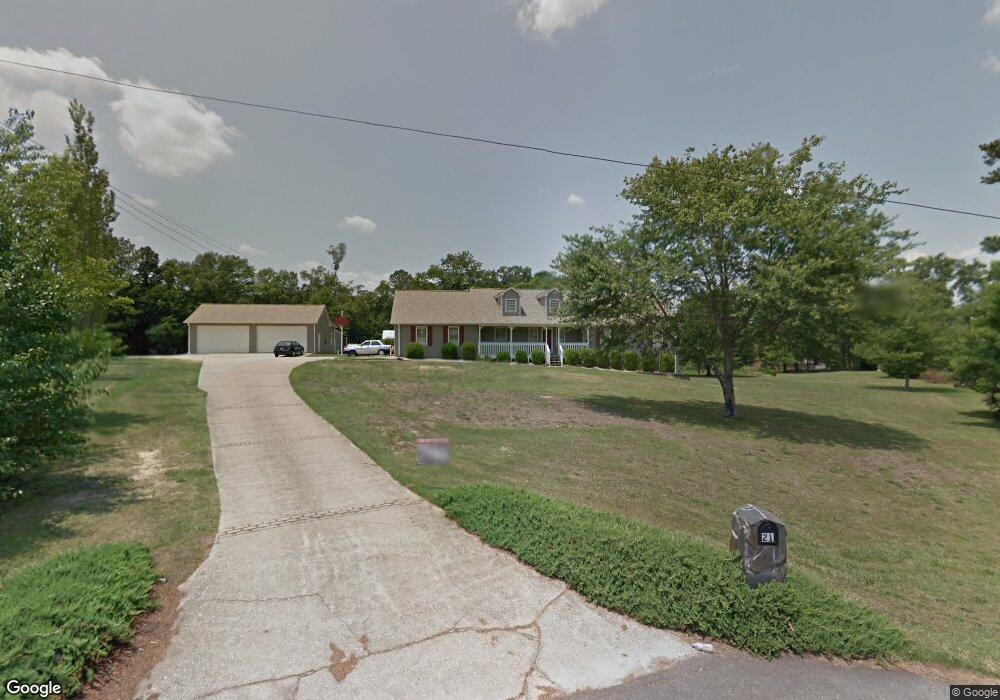
21 Kimberwick Ct Unit 1 Stockbridge, GA 30281
Estimated Value: $338,000 - $447,000
3
Beds
3
Baths
1,957
Sq Ft
$191/Sq Ft
Est. Value
About This Home
This home is located at 21 Kimberwick Ct Unit 1, Stockbridge, GA 30281 and is currently estimated at $374,310, approximately $191 per square foot. 21 Kimberwick Ct Unit 1 is a home located in Henry County with nearby schools including Woodland Elementary School, Woodland Middle School, and Woodland High School.
Ownership History
Date
Name
Owned For
Owner Type
Purchase Details
Closed on
Dec 1, 2020
Sold by
Forcucci Robert J
Bought by
Forcucci Robert J and Forcucci Mary Jane
Current Estimated Value
Purchase Details
Closed on
May 20, 2004
Sold by
Irvin James M and Irvin Angela D
Bought by
Forcucci Robert T
Home Financials for this Owner
Home Financials are based on the most recent Mortgage that was taken out on this home.
Original Mortgage
$197,600
Interest Rate
3.25%
Mortgage Type
New Conventional
Create a Home Valuation Report for This Property
The Home Valuation Report is an in-depth analysis detailing your home's value as well as a comparison with similar homes in the area
Home Values in the Area
Average Home Value in this Area
Purchase History
| Date | Buyer | Sale Price | Title Company |
|---|---|---|---|
| Forcucci Robert J | -- | -- | |
| Forcucci Robert T | $247,000 | -- |
Source: Public Records
Mortgage History
| Date | Status | Borrower | Loan Amount |
|---|---|---|---|
| Previous Owner | Forcucci Robert T | $197,600 |
Source: Public Records
Tax History Compared to Growth
Tax History
| Year | Tax Paid | Tax Assessment Tax Assessment Total Assessment is a certain percentage of the fair market value that is determined by local assessors to be the total taxable value of land and additions on the property. | Land | Improvement |
|---|---|---|---|---|
| 2025 | $1,211 | $184,876 | $18,000 | $166,876 |
| 2024 | $1,211 | $158,480 | $18,000 | $140,480 |
| 2023 | $1,132 | $153,440 | $16,000 | $137,440 |
| 2022 | $1,478 | $127,600 | $14,000 | $113,600 |
| 2021 | $1,285 | $109,120 | $14,000 | $95,120 |
| 2020 | $3,835 | $98,920 | $10,000 | $88,920 |
| 2019 | $3,858 | $99,520 | $10,000 | $89,520 |
| 2018 | $3,810 | $98,280 | $10,000 | $88,280 |
| 2016 | $3,409 | $87,840 | $10,000 | $77,840 |
| 2015 | $2,943 | $73,400 | $10,000 | $63,400 |
| 2014 | $2,691 | $66,240 | $6,800 | $59,440 |
Source: Public Records
Map
Nearby Homes
- 2100 Highway 138 E
- 88 Bowen Rd
- 120 Bowen Rd
- 157 Hambrick Dr
- 0 E Mays Rd Unit 10496305
- 5149 Highway 155 N
- 0 Georgia 155 S Unit TRACT 3 10311477
- 5339 Highway 155 N
- 5018 Highway 155 N
- 641 Morningside Dr N
- 373 Vicki Ln
- 4881 Highway 155 N
- 3710 Highway 155 SW
- 106 Valley Rd
- 222 Hemlock Dr
- 214 Hemlock Dr
- 0 Valley Rd & Hwy 155 Rd
- 2471 Old Conyers Rd
- 77 Snapfinger Trail
- 20 Kimberwick Ct
- 0 Kimberwick Ct Unit 7515502
- 107 Fox Chase Ct
- 47 Snapfinger Trail
- 0 Snapfinger Trail Unit 8091907
- 0 Snapfinger Trail Unit 8605791
- 20 Fox Chase Ct
- 11 Hunters Run Ct
- 90 Snapfinger Trail
- 2307 Highway 138 E Unit 1
- 2317 Highway 138 E
- 222 David Larsen Dr
- 137 Snapfinger Trail
- 120 Snapfinger Trail Unit 1
- 23 Hunters Run Ct
- 0 Hunters Run Ct Unit 8624062
- 0 Hunters Run Ct Unit 8242447
- 0 Hunters Run Ct Unit 8509076
- 0 Hunters Run Ct Unit 8110536