Estimated Value: $752,000 - $937,000
3
Beds
3
Baths
2,412
Sq Ft
$358/Sq Ft
Est. Value
About This Home
This home is located at 21 Nash Rd, Acton, MA 01720 and is currently estimated at $862,864, approximately $357 per square foot. 21 Nash Rd is a home located in Middlesex County with nearby schools including Acton-Boxborough Regional High School, Maynard Knowledge Beginnings, and The Imago School.
Ownership History
Date
Name
Owned For
Owner Type
Purchase Details
Closed on
Aug 20, 1999
Sold by
Oneil E Joseph E and Oneil Heather B
Bought by
Bambery Paul G and Bambery Donna A
Current Estimated Value
Purchase Details
Closed on
May 31, 1994
Sold by
Sullivan Craig W and Gordon Elaine M S
Bought by
Oneil E Joseph and Oneil Heather B
Create a Home Valuation Report for This Property
The Home Valuation Report is an in-depth analysis detailing your home's value as well as a comparison with similar homes in the area
Home Values in the Area
Average Home Value in this Area
Purchase History
| Date | Buyer | Sale Price | Title Company |
|---|---|---|---|
| Oneil E Joseph | $186,500 | -- | |
| Bambery Paul G | $275,000 | -- | |
| Oneil E Joseph E | $186,500 | -- |
Source: Public Records
Mortgage History
| Date | Status | Borrower | Loan Amount |
|---|---|---|---|
| Open | Oneil E Joseph E | $154,000 | |
| Closed | Oneil E Joseph E | $218,000 |
Source: Public Records
Tax History
| Year | Tax Paid | Tax Assessment Tax Assessment Total Assessment is a certain percentage of the fair market value that is determined by local assessors to be the total taxable value of land and additions on the property. | Land | Improvement |
|---|---|---|---|---|
| 2025 | $12,513 | $729,600 | $313,400 | $416,200 |
| 2024 | $11,814 | $708,700 | $313,400 | $395,300 |
| 2023 | $11,946 | $680,300 | $285,000 | $395,300 |
| 2022 | $10,801 | $555,300 | $247,800 | $307,500 |
| 2021 | $10,439 | $516,000 | $229,400 | $286,600 |
| 2020 | $9,647 | $501,400 | $229,400 | $272,000 |
| 2019 | $9,454 | $488,100 | $229,400 | $258,700 |
| 2018 | $9,291 | $479,400 | $229,400 | $250,000 |
| 2017 | $8,642 | $453,400 | $229,400 | $224,000 |
| 2016 | $7,394 | $384,500 | $229,400 | $155,100 |
| 2015 | $7,513 | $394,400 | $229,400 | $165,000 |
| 2014 | $7,383 | $379,600 | $229,400 | $150,200 |
Source: Public Records
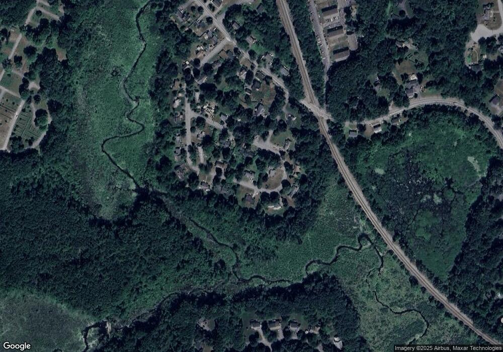
Map
Nearby Homes
- 6 Beacon Ct
- 90 Willow St Unit 1
- 92 Willow St Unit 3
- 92 Willow St Unit 2
- 184 Main St Unit 3
- 25 Nylander Way
- 131 Main St
- 129 Main St Unit 129
- 235 Arlington St
- 246 Main St Unit 2
- 7 Kelley Rd
- 631 Massachusetts Ave Unit 631
- 20 Joseph Reed Ln
- 40 High St
- 280 W Acton Rd
- 70 River St
- 30 Brewster Ln
- 247 W Acton Rd
- 1 Vanderbelt Rd
- 5 Perkins Ln
Your Personal Tour Guide
Ask me questions while you tour the home.