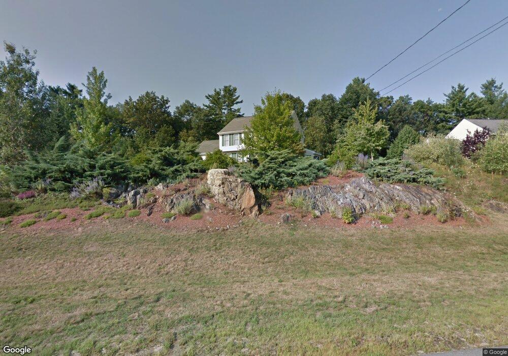
21 Newstead St Litchfield, NH 03052
Estimated Value: $594,973 - $649,000
3
Beds
2
Baths
2,129
Sq Ft
$296/Sq Ft
Est. Value
About This Home
This home is located at 21 Newstead St, Litchfield, NH 03052 and is currently estimated at $631,243, approximately $296 per square foot. 21 Newstead St is a home with nearby schools including Griffin Memorial School and St. Francis of Assisi School.
Ownership History
Date
Name
Owned For
Owner Type
Purchase Details
Closed on
Feb 2, 2012
Sold by
Petrin Marc R and Asselin-Petrin Cristiana
Bought by
Marc R Petrin Ret and Petrin Marc R
Current Estimated Value
Purchase Details
Closed on
Nov 2, 2005
Sold by
Hopp Samuel E and Hopp Leona J
Bought by
Petrin Marc R
Home Financials for this Owner
Home Financials are based on the most recent Mortgage that was taken out on this home.
Original Mortgage
$279,900
Interest Rate
5.85%
Mortgage Type
Purchase Money Mortgage
Purchase Details
Closed on
Jun 11, 2001
Sold by
Sutera Antonino and Sutera Rosa A
Bought by
Hopp Samuel E and Hopp Leona J
Purchase Details
Closed on
Jan 14, 1999
Sold by
Ashwood Dev Co Inc
Bought by
Sutera Antonino
Create a Home Valuation Report for This Property
The Home Valuation Report is an in-depth analysis detailing your home's value as well as a comparison with similar homes in the area
Home Values in the Area
Average Home Value in this Area
Purchase History
| Date | Buyer | Sale Price | Title Company |
|---|---|---|---|
| Marc R Petrin Ret | -- | -- | |
| Petrin Marc R | $349,900 | -- | |
| Hopp Samuel E | $229,900 | -- | |
| Sutera Antonino | $142,000 | -- | |
| Ashwood Dev Co Inc | $40,000 | -- |
Source: Public Records
Mortgage History
| Date | Status | Borrower | Loan Amount |
|---|---|---|---|
| Previous Owner | Ashwood Dev Co Inc | $235,000 | |
| Previous Owner | Ashwood Dev Co Inc | $254,200 | |
| Previous Owner | Ashwood Dev Co Inc | $279,900 |
Source: Public Records
Tax History Compared to Growth
Tax History
| Year | Tax Paid | Tax Assessment Tax Assessment Total Assessment is a certain percentage of the fair market value that is determined by local assessors to be the total taxable value of land and additions on the property. | Land | Improvement |
|---|---|---|---|---|
| 2024 | $7,726 | $371,800 | $162,400 | $209,400 |
| 2023 | $7,785 | $371,800 | $162,400 | $209,400 |
| 2022 | $7,075 | $371,800 | $162,400 | $209,400 |
| 2021 | $6,856 | $371,800 | $162,400 | $209,400 |
| 2020 | $6,889 | $370,800 | $162,400 | $208,400 |
| 2019 | $6,691 | $282,900 | $116,800 | $166,100 |
| 2017 | $6,295 | $279,900 | $116,800 | $163,100 |
| 2016 | $6,046 | $279,900 | $116,800 | $163,100 |
| 2015 | $5,704 | $279,900 | $116,800 | $163,100 |
| 2014 | $5,674 | $274,100 | $120,800 | $153,300 |
| 2013 | $5,616 | $273,000 | $127,200 | $145,800 |
Source: Public Records
Map
Nearby Homes
- 25 Chatfield Dr
- 0 Tallarico St Unit 3 5032471
- 0 Tallarico St Unit 5 5032751
- 0 Tallarico St Unit 26
- 0 Tallarico St Unit 10 5044310
- 0 Tallarico St Unit 12 5033131
- 1 Tallarico St Unit 14
- 35 Tallarico St Unit Lot 11
- 31 Garden Dr
- 490 Charles Bancroft Hwy
- 343 Charles Bancroft Hwy
- 30 Windsor Dr Unit 9
- 35 Windsor Dr Unit 5
- 13 Moose Hollow Rd
- 19 Dixon Dr
- 9 Tallarico St Unit Lot 4
- 1 Pleasant St
- 20 Locke Mill Dr
- 11 Essex Green Ct
- 12 Clinton Ct