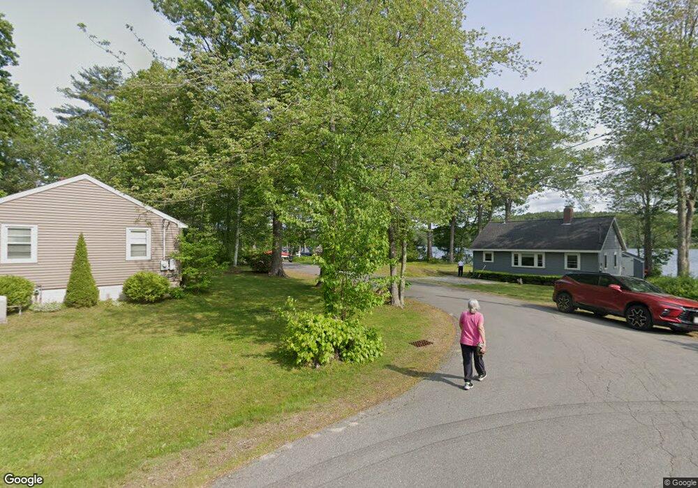
21 Orcutt Dr Hampstead, NH 03841
Estimated Value: $692,000 - $775,531
2
Beds
3
Baths
1,826
Sq Ft
$398/Sq Ft
Est. Value
About This Home
This home is located at 21 Orcutt Dr, Hampstead, NH 03841 and is currently estimated at $726,133, approximately $397 per square foot. 21 Orcutt Dr is a home located in Rockingham County with nearby schools including Hampstead Central School, Hampstead Middle School, and Pinkerton Academy.
Ownership History
Date
Name
Owned For
Owner Type
Purchase Details
Closed on
Sep 17, 2007
Sold by
Ritchotte Frank and Ritchotte Debra
Bought by
Mary E Bligh Ret
Current Estimated Value
Home Financials for this Owner
Home Financials are based on the most recent Mortgage that was taken out on this home.
Original Mortgage
$228,000
Interest Rate
6.7%
Mortgage Type
Purchase Money Mortgage
Purchase Details
Closed on
Jul 15, 2003
Sold by
Mammay Andrew J and Mammay Judith M
Bought by
Mize James P
Home Financials for this Owner
Home Financials are based on the most recent Mortgage that was taken out on this home.
Original Mortgage
$225,000
Interest Rate
5.45%
Purchase Details
Closed on
May 17, 2001
Sold by
Tyler Rd Dev Corp
Bought by
Ritchotte Frank and Ritchotte Debra
Create a Home Valuation Report for This Property
The Home Valuation Report is an in-depth analysis detailing your home's value as well as a comparison with similar homes in the area
Home Values in the Area
Average Home Value in this Area
Purchase History
| Date | Buyer | Sale Price | Title Company |
|---|---|---|---|
| Mary E Bligh Ret | $330,000 | -- | |
| Mize James P | $325,000 | -- | |
| Ritchotte Frank | $264,900 | -- |
Source: Public Records
Mortgage History
| Date | Status | Borrower | Loan Amount |
|---|---|---|---|
| Open | Ritchotte Frank | $25,000 | |
| Open | Ritchotte Frank | $198,000 | |
| Closed | Ritchotte Frank | $228,000 | |
| Previous Owner | Ritchotte Frank | $225,000 |
Source: Public Records
Tax History Compared to Growth
Tax History
| Year | Tax Paid | Tax Assessment Tax Assessment Total Assessment is a certain percentage of the fair market value that is determined by local assessors to be the total taxable value of land and additions on the property. | Land | Improvement |
|---|---|---|---|---|
| 2024 | $12,320 | $664,500 | $358,700 | $305,800 |
| 2023 | $11,133 | $437,600 | $256,200 | $181,400 |
| 2022 | $10,244 | $432,600 | $256,200 | $176,400 |
| 2021 | $9,842 | $432,600 | $256,200 | $176,400 |
| 2020 | $9,323 | $432,600 | $256,200 | $176,400 |
| 2016 | $7,592 | $313,700 | $150,600 | $163,100 |
| 2015 | $7,036 | $313,700 | $150,600 | $163,100 |
| 2014 | $7,036 | $313,700 | $150,600 | $163,100 |
| 2006 | $6,054 | $334,100 | $211,700 | $122,400 |
Source: Public Records
Map
Nearby Homes
- 4 Hastings Dr
- 32 Ells Rd
- 3 Cameron Ct Unit 3
- 30 Johnson Meadow Rd Unit A & B
- 20 Johnson Meadow Rd Unit A & B
- 6 Johnson Meadow Rd Unit A & B
- 36 Johnson Meadow Rd Unit A & B
- 5 Johnson Meadow Rd Unit A & B
- 19 Johnson Meadow Rd Unit A & B
- 33 Johnson Meadow Rd Unit A & B
- 185 Buttrick Rd
- 8 Ians Path
- 23 Stonegate Ln
- 14 Meredith Dr
- 12 Stage Rd
- 313 Main St
- 10 Pinewood Dr
- 50 Page Ln
- 13 Autumn Ln
- 62 Veterans Way