Estimated Value: $600,000 - $690,000
3
Beds
3
Baths
1,578
Sq Ft
$407/Sq Ft
Est. Value
About This Home
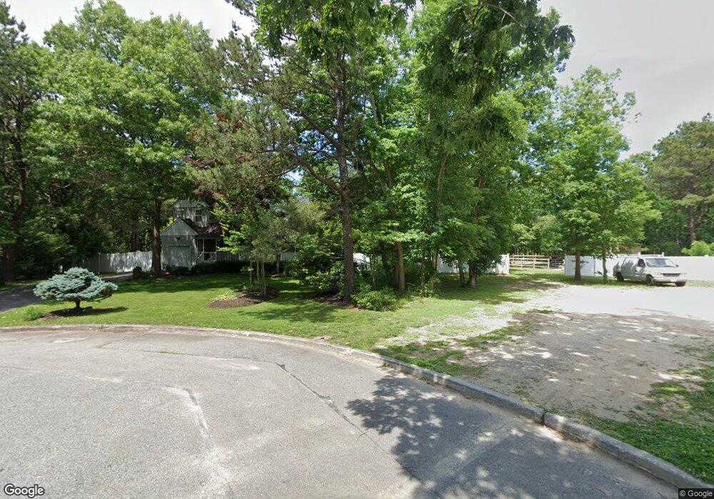
This home is located at 21 Patrick Ln, Ridge, NY 11961 and is currently estimated at $642,605, approximately $407 per square foot. 21 Patrick Ln is a home located in Suffolk County with nearby schools including Longwood Junior High School, Longwood Middle School, and Longwood Senior High School.
Ownership History
Date
Name
Owned For
Owner Type
Purchase Details
Closed on
Oct 4, 2017
Sold by
Bousquet Raymond and Bousquet Donna L
Bought by
Franzese Michael
Current Estimated Value
Home Financials for this Owner
Home Financials are based on the most recent Mortgage that was taken out on this home.
Original Mortgage
$325,091
Outstanding Balance
$264,045
Interest Rate
3.78%
Mortgage Type
Stand Alone Refi Refinance Of Original Loan
Estimated Equity
$378,560
Create a Home Valuation Report for This Property
The Home Valuation Report is an in-depth analysis detailing your home's value as well as a comparison with similar homes in the area
Home Values in the Area
Average Home Value in this Area
Purchase History
| Date | Buyer | Sale Price | Title Company |
|---|---|---|---|
| Franzese Michael | $355,000 | -- | |
| Franzese Michael | $355,000 | -- | |
| Franzese Michael | $355,000 | -- | |
| Franzese Michael | $355,000 | -- |
Source: Public Records
Mortgage History
| Date | Status | Borrower | Loan Amount |
|---|---|---|---|
| Open | Franzese Michael | $325,091 | |
| Closed | Franzese Michael | $325,091 |
Source: Public Records
Tax History Compared to Growth
Tax History
| Year | Tax Paid | Tax Assessment Tax Assessment Total Assessment is a certain percentage of the fair market value that is determined by local assessors to be the total taxable value of land and additions on the property. | Land | Improvement |
|---|---|---|---|---|
| 2024 | $13,161 | $2,970 | $350 | $2,620 |
| 2023 | $13,161 | $2,970 | $350 | $2,620 |
| 2022 | $12,207 | $2,970 | $350 | $2,620 |
| 2021 | $12,207 | $2,970 | $350 | $2,620 |
| 2020 | $12,434 | $2,970 | $350 | $2,620 |
| 2019 | $12,434 | $0 | $0 | $0 |
| 2018 | $10,516 | $2,970 | $350 | $2,620 |
| 2017 | $10,516 | $2,970 | $350 | $2,620 |
| 2016 | $10,403 | $2,970 | $350 | $2,620 |
| 2015 | -- | $2,970 | $350 | $2,620 |
| 2014 | -- | $3,250 | $350 | $2,900 |
Source: Public Records
Map
Nearby Homes
- 11 Patrick Ln
- 10 Patrick Ln
- 28 Francis Mooney Dr
- 33 Highview Ln
- 19 Cedar Ridge Dr
- 30 Elizabeth Way
- 349 Randall Rd
- 418 Randall Rd
- 7 Highview Ln
- 8 Woodbrook Dr
- 40 Ridge Haven Dr
- 17 Madeline Rd
- 53 Ridge Haven Dr
- 10 Sally Ln
- 0 Elizabeth Way Unit KEY803253
- Lot 39 Fox Run Ct
- 38 Pond Ln
- 193 Berkshire Dr
- 323 Brownfield Dr
- 324 Brownfield Dr
- 19 Patrick Ln
- 23 Patrick Ln
- 22 Patrick Ln
- 17 Patrick Ln
- 18 Patrick Ln
- 15 Patrick Ln
- 14 Patrick Ln
- 9 Patrick Ln
- 7 Patrick Ln
- 5 Patrick Ln
- 6 Patrick Ln
- 2 Patrick Ln
- 1 Patrick Ln
- 20 Hay Rd
- 2114 William Floyd Pkwy
- 1019 Middle Country Rd
- 970 Middle Country Rd
- 2158 William Floyd Pkwy
- 974 Middle Country Rd
- 978 Middle Country Rd