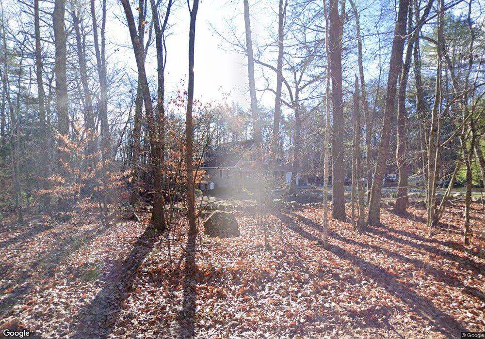
21 Percy Hawkes Rd Windham, ME 04062
Estimated Value: $486,000 - $553,000
3
Beds
2
Baths
1,623
Sq Ft
$313/Sq Ft
Est. Value
About This Home
This home is located at 21 Percy Hawkes Rd, Windham, ME 04062 and is currently estimated at $507,652, approximately $312 per square foot. 21 Percy Hawkes Rd is a home located in Cumberland County with nearby schools including Windham Primary School, Manchester School, and Windham Middle School.
Ownership History
Date
Name
Owned For
Owner Type
Purchase Details
Closed on
Nov 9, 2012
Sold by
Violette David R and Violette Randi L
Bought by
Patten Kelley J
Current Estimated Value
Home Financials for this Owner
Home Financials are based on the most recent Mortgage that was taken out on this home.
Original Mortgage
$147,120
Outstanding Balance
$101,807
Interest Rate
3.42%
Mortgage Type
New Conventional
Estimated Equity
$405,845
Purchase Details
Closed on
May 11, 2012
Sold by
Violette Fernand H and Violette Virginia A
Bought by
Violette David M and Violette Michelle D
Create a Home Valuation Report for This Property
The Home Valuation Report is an in-depth analysis detailing your home's value as well as a comparison with similar homes in the area
Home Values in the Area
Average Home Value in this Area
Purchase History
| Date | Buyer | Sale Price | Title Company |
|---|---|---|---|
| Patten Kelley J | -- | -- | |
| Violette David M | -- | -- |
Source: Public Records
Mortgage History
| Date | Status | Borrower | Loan Amount |
|---|---|---|---|
| Open | Patten Kelley J | $147,120 |
Source: Public Records
Tax History Compared to Growth
Tax History
| Year | Tax Paid | Tax Assessment Tax Assessment Total Assessment is a certain percentage of the fair market value that is determined by local assessors to be the total taxable value of land and additions on the property. | Land | Improvement |
|---|---|---|---|---|
| 2024 | $4,783 | $417,000 | $138,900 | $278,100 |
| 2023 | $4,104 | $366,400 | $97,400 | $269,000 |
| 2022 | $3,780 | $325,600 | $86,200 | $239,400 |
| 2021 | $3,384 | $268,600 | $75,000 | $193,600 |
| 2020 | $3,113 | $232,500 | $66,300 | $166,200 |
| 2019 | $3,404 | $232,500 | $66,300 | $166,200 |
| 2018 | $3,242 | $213,600 | $59,700 | $153,900 |
| 2017 | $3,148 | $191,600 | $53,300 | $138,300 |
| 2016 | $3,008 | $191,600 | $53,300 | $138,300 |
| 2015 | $2,903 | $191,600 | $53,300 | $138,300 |
| 2014 | $2,664 | $191,600 | $53,300 | $138,300 |
| 2013 | -- | $191,600 | $53,300 | $138,300 |
Source: Public Records
Map
Nearby Homes
- 1 Daybreak Ln Unit 1
- 25 Driftwood Ln Unit 19
- 7 Daybreak Ln Unit 3
- 4 Daybreak Ln Unit 19
- 18 Daybreak Ln Unit 13
- 23 Daybreak Ln Unit 23
- 22 Daybreak Ln Unit 11
- 10 Land of Nod Rd
- 1 Friendly Way
- 23 Land of Nod Rd
- 99 Land of Nod Rd
- 53 Johnson Rd
- 19 Moss Rd
- 48 Albion Rd
- 30 Marshall Valley Rd
- 26 Marshall Valley Rd
- 163A Highland Cliff Rd
- 166A Highland Cliff Rd
- 43 Lakeside Dr
- 19 Independence Way
- 17 Percy Hawkes Rd
- 20 Percy Hawkes Rd
- 14 Percy Hawkes Rd
- 9 Percy Hawkes Rd
- 10 Percy Hawkes Rd
- 23 Percy Hawkes Rd
- 6 Plante Dr
- 15 Quail Dr
- 8 Percy Hawkes Rd
- 5 Percy Hawkes Rd
- 4 Quail Dr
- 111 Percy Hawkes Rd
- 1 Dow Ln
- 1 Dow Ln
- 1 Dow Ln
- 39 Roosevelt Trail
- 1 Percy Hawkes Rd
- 0 Percy Hawkes Rd
- 10 Pond Villa Rd
- 5 Carignan Dr