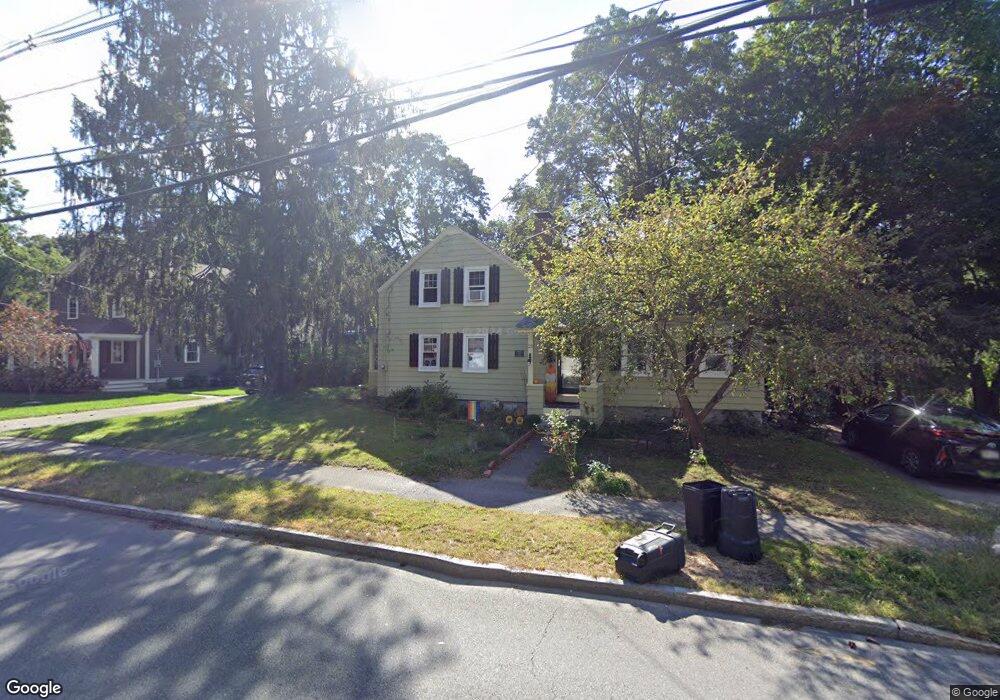
21 River St Unit A Andover, MA 01810
Ballardvale NeighborhoodEstimated Value: $539,000 - $846,001
4
Beds
3
Baths
2,300
Sq Ft
$301/Sq Ft
Est. Value
About This Home
This home is located at 21 River St Unit A, Andover, MA 01810 and is currently estimated at $692,250, approximately $300 per square foot. 21 River St Unit A is a home located in Essex County with nearby schools including South Elementary School, Andover West Middle School, and Andover High School.
Ownership History
Date
Name
Owned For
Owner Type
Purchase Details
Closed on
Mar 21, 2016
Sold by
607 Turnpike Street Ll
Bought by
Fiore Julie A
Current Estimated Value
Home Financials for this Owner
Home Financials are based on the most recent Mortgage that was taken out on this home.
Original Mortgage
$311,695
Outstanding Balance
$245,782
Interest Rate
3.62%
Mortgage Type
FHA
Estimated Equity
$446,468
Purchase Details
Closed on
Jun 6, 2014
Sold by
Paleo Janice M
Bought by
607 Turnpike Street Ll
Home Financials for this Owner
Home Financials are based on the most recent Mortgage that was taken out on this home.
Original Mortgage
$550,000
Interest Rate
4.33%
Mortgage Type
Purchase Money Mortgage
Purchase Details
Closed on
Feb 11, 1999
Sold by
Hill Lawrence W
Bought by
Paleo Janice M
Purchase Details
Closed on
Sep 25, 1987
Sold by
Genesis Rt
Bought by
Hill Lawrence W
Create a Home Valuation Report for This Property
The Home Valuation Report is an in-depth analysis detailing your home's value as well as a comparison with similar homes in the area
Home Values in the Area
Average Home Value in this Area
Purchase History
| Date | Buyer | Sale Price | Title Company |
|---|---|---|---|
| Fiore Julie A | $323,000 | -- | |
| 607 Turnpike Street Ll | $337,000 | -- | |
| Paleo Janice M | $145,000 | -- | |
| Paleo Janice M | $145,000 | -- | |
| Hill Lawrence W | $115,000 | -- |
Source: Public Records
Mortgage History
| Date | Status | Borrower | Loan Amount |
|---|---|---|---|
| Open | Fiore Julie A | $311,695 | |
| Closed | Hill Lawrence W | $311,695 | |
| Previous Owner | 607 Turnpike Street Ll | $550,000 | |
| Previous Owner | Hill Lawrence W | $172,400 |
Source: Public Records
Tax History Compared to Growth
Tax History
| Year | Tax Paid | Tax Assessment Tax Assessment Total Assessment is a certain percentage of the fair market value that is determined by local assessors to be the total taxable value of land and additions on the property. | Land | Improvement |
|---|---|---|---|---|
| 2024 | $7,394 | $574,100 | $341,900 | $232,200 |
| 2023 | $7,177 | $525,400 | $316,700 | $208,700 |
| 2022 | $6,694 | $458,500 | $268,300 | $190,200 |
| 2021 | $6,388 | $417,800 | $243,800 | $174,000 |
| 2020 | $6,123 | $407,900 | $237,900 | $170,000 |
| 2019 | $5,793 | $379,400 | $214,000 | $165,400 |
| 2018 | $5,526 | $353,300 | $201,800 | $151,500 |
| 2017 | $5,283 | $348,000 | $197,900 | $150,100 |
| 2016 | $5,157 | $348,000 | $197,900 | $150,100 |
| 2015 | $5,431 | $362,800 | $221,700 | $141,100 |
Source: Public Records
Map
Nearby Homes