21 Salem Rd Weston, CT 06883
Estimated Value: $1,062,000 - $1,266,000
4
Beds
3
Baths
2,512
Sq Ft
$465/Sq Ft
Est. Value
About This Home
This home is located at 21 Salem Rd, Weston, CT 06883 and is currently estimated at $1,169,193, approximately $465 per square foot. 21 Salem Rd is a home located in Fairfield County with nearby schools including Hurlbutt Elementary School, Weston Intermediate School, and Weston Middle School.
Ownership History
Date
Name
Owned For
Owner Type
Purchase Details
Closed on
Aug 13, 2019
Sold by
Duncan Topjian and Duncan Michael
Bought by
Duncan Michael and Duncan Kara
Current Estimated Value
Home Financials for this Owner
Home Financials are based on the most recent Mortgage that was taken out on this home.
Original Mortgage
$480,000
Outstanding Balance
$419,444
Interest Rate
3.8%
Mortgage Type
New Conventional
Estimated Equity
$749,749
Purchase Details
Closed on
Nov 18, 2013
Sold by
Duncan Michael and Duncan Kara
Bought by
Duncan Michael W and Duncan Kara T
Purchase Details
Closed on
Nov 24, 2010
Sold by
Duncan Kara
Bought by
Duncan Michael and Duncan Kara
Purchase Details
Closed on
Jun 2, 2003
Sold by
Barnbrook Properties L
Bought by
Leving Paul R and Levire Cheryl B
Home Financials for this Owner
Home Financials are based on the most recent Mortgage that was taken out on this home.
Original Mortgage
$400,000
Interest Rate
4.37%
Mortgage Type
Purchase Money Mortgage
Purchase Details
Closed on
Sep 1, 2000
Sold by
Sommers Eleanor and Lane Marjorie
Bought by
Barnbrook Prop
Create a Home Valuation Report for This Property
The Home Valuation Report is an in-depth analysis detailing your home's value as well as a comparison with similar homes in the area
Home Values in the Area
Average Home Value in this Area
Purchase History
| Date | Buyer | Sale Price | Title Company |
|---|---|---|---|
| Duncan Michael | -- | -- | |
| Duncan Michael W | -- | -- | |
| Duncan Michael | -- | -- | |
| Duncan Kara | -- | -- | |
| Leving Paul R | $574,000 | -- | |
| Barnbrook Prop | $420,000 | -- |
Source: Public Records
Mortgage History
| Date | Status | Borrower | Loan Amount |
|---|---|---|---|
| Open | Duncan Michael | $480,000 | |
| Previous Owner | Barnbrook Prop | $400,000 | |
| Previous Owner | Barnbrook Prop | $315,000 |
Source: Public Records
Tax History Compared to Growth
Tax History
| Year | Tax Paid | Tax Assessment Tax Assessment Total Assessment is a certain percentage of the fair market value that is determined by local assessors to be the total taxable value of land and additions on the property. | Land | Improvement |
|---|---|---|---|---|
| 2025 | $13,185 | $551,670 | $181,440 | $370,230 |
| 2024 | $11,789 | $502,320 | $181,440 | $320,880 |
| 2023 | $11,426 | $345,600 | $181,440 | $164,160 |
| 2022 | $10,320 | $313,000 | $181,440 | $131,560 |
| 2021 | $10,304 | $313,000 | $181,440 | $131,560 |
| 2020 | $10,132 | $313,000 | $181,440 | $131,560 |
| 2019 | $10,132 | $313,000 | $181,440 | $131,560 |
| 2018 | $9,757 | $332,000 | $192,100 | $139,900 |
| 2017 | $9,598 | $332,000 | $192,100 | $139,900 |
| 2016 | $9,482 | $332,000 | $192,100 | $139,900 |
| 2015 | $9,548 | $332,000 | $192,100 | $139,900 |
| 2014 | $9,376 | $332,000 | $192,100 | $139,900 |
Source: Public Records
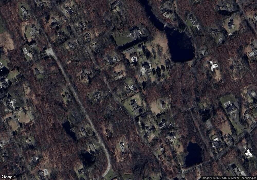
Map
Nearby Homes
- 29 Salem Rd
- 225 Good Hill Rd
- 214 Good Hill Rd
- 76 Lords Hwy
- 193 Newtown Turnpike
- 8 Hedgerow Common
- 27 Rogues Ridge
- 6 Winthrop Hills
- 81 Norfield Rd
- 260 Lyons Plain Rd
- 262 Lyons Plain Rd
- 5 Walker Ln
- 24 Nordholm Dr
- 145 Lyons Plain Rd
- 326 Georgetown Rd
- 32 Kettle Creek Rd
- 4 Colony Rd
- 335 Georgetown Rd
- 136 Lyons Plain Rd
- 191 Steep Hill Rd