Estimated Value: $352,000 - $374,000
3
Beds
2
Baths
1,591
Sq Ft
$229/Sq Ft
Est. Value
About This Home
This home is located at 21 Sczygiel Rd, Ware, MA 01082 and is currently estimated at $364,580, approximately $229 per square foot. 21 Sczygiel Rd is a home located in Hampshire County with nearby schools including Stanley M. Koziol Elementary School, Ware Middle School, and Ware Junior/Senior High School.
Ownership History
Date
Name
Owned For
Owner Type
Purchase Details
Closed on
Jul 7, 2022
Sold by
Mitchell William B
Bought by
Mitchell David K and Hume-Mitchell Courtney
Current Estimated Value
Home Financials for this Owner
Home Financials are based on the most recent Mortgage that was taken out on this home.
Original Mortgage
$231,000
Outstanding Balance
$216,713
Interest Rate
3.63%
Mortgage Type
Purchase Money Mortgage
Estimated Equity
$147,867
Purchase Details
Closed on
Feb 24, 2003
Sold by
Duffy James W and Larock Darcy E
Bought by
Mitchell William B
Home Financials for this Owner
Home Financials are based on the most recent Mortgage that was taken out on this home.
Original Mortgage
$161,150
Interest Rate
5.98%
Mortgage Type
VA
Purchase Details
Closed on
Feb 28, 1994
Sold by
Barker John V and Barker Karol L
Bought by
Duffy James W and Larock Darcy E
Purchase Details
Closed on
Apr 27, 1990
Sold by
Ribeiro Cathy H
Bought by
Barker John
Create a Home Valuation Report for This Property
The Home Valuation Report is an in-depth analysis detailing your home's value as well as a comparison with similar homes in the area
Home Values in the Area
Average Home Value in this Area
Purchase History
| Date | Buyer | Sale Price | Title Company |
|---|---|---|---|
| Mitchell David K | $288,750 | None Available | |
| Mitchell William B | $158,000 | -- | |
| Duffy James W | $104,950 | -- | |
| Barker John | $114,900 | -- |
Source: Public Records
Mortgage History
| Date | Status | Borrower | Loan Amount |
|---|---|---|---|
| Open | Mitchell David K | $231,000 | |
| Previous Owner | Barker John | $124,600 | |
| Previous Owner | Barker John | $153,200 | |
| Previous Owner | Barker John | $161,150 |
Source: Public Records
Tax History Compared to Growth
Tax History
| Year | Tax Paid | Tax Assessment Tax Assessment Total Assessment is a certain percentage of the fair market value that is determined by local assessors to be the total taxable value of land and additions on the property. | Land | Improvement |
|---|---|---|---|---|
| 2025 | $4,536 | $301,200 | $45,800 | $255,400 |
| 2024 | $4,355 | $266,700 | $43,200 | $223,500 |
| 2023 | $4,148 | $240,300 | $41,600 | $198,700 |
| 2022 | $3,943 | $203,900 | $38,500 | $165,400 |
| 2021 | $3,772 | $186,900 | $38,500 | $148,400 |
| 2020 | $3,596 | $174,300 | $38,500 | $135,800 |
| 2019 | $3,523 | $174,300 | $38,500 | $135,800 |
| 2018 | $3,405 | $164,400 | $37,500 | $126,900 |
| 2017 | $3,298 | $158,800 | $37,500 | $121,300 |
| 2016 | $3,238 | $160,200 | $37,500 | $122,700 |
| 2015 | $3,148 | $160,200 | $37,500 | $122,700 |
| 2014 | $3,158 | $172,500 | $38,100 | $134,400 |
Source: Public Records
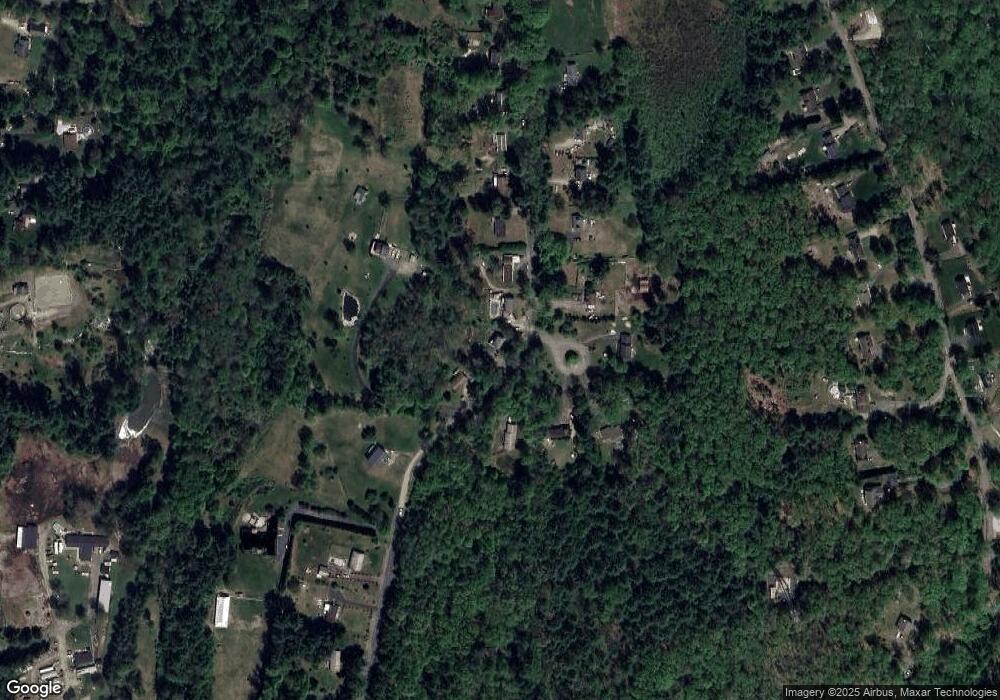
Map
Nearby Homes
- 32 Coffey Hill Rd
- Lot 1 Monson Turnpike Rd
- Lot 7 Monson Turnpike Rd
- 24 Monson Turnpike Rd
- 248 Monson Turnpike Rd
- 0 Beach Rd
- 20 Indian Hill Rd
- 339 Monson Turnpike Rd
- 214 Old Belchertown Rd
- Lot 22 Coldbrook Dr
- Lot 25 Coldbrook Dr
- Lot 20 Coldbrook Dr
- Lot 16 Coldbrook Dr
- Lot 13 Coldbrook Dr
- Lot 23 Coldbrook Dr
- 67 Babcock Tavern Rd
- 49 Babcock Tavern Rd
- 57 Babcock Tavern Rd
- Lot 4 Babcock Tavern Rd
- Lot 5 Babcock Tavern Rd