21 Smith Rd Moultonborough, NH 03254
Estimated Value: $433,678 - $675,000
3
Beds
1
Bath
2,069
Sq Ft
$272/Sq Ft
Est. Value
About This Home
This home is located at 21 Smith Rd, Moultonborough, NH 03254 and is currently estimated at $561,893, approximately $271 per square foot. 21 Smith Rd is a home located in Carroll County with nearby schools including Moultonborough Central School and Moultonborough Academy High School.
Ownership History
Date
Name
Owned For
Owner Type
Purchase Details
Closed on
Jul 25, 2023
Sold by
Mason Donald F
Bought by
Mason Donald F and Mason Joanne
Current Estimated Value
Purchase Details
Closed on
Jun 16, 1994
Bought by
Mason Donald F
Create a Home Valuation Report for This Property
The Home Valuation Report is an in-depth analysis detailing your home's value as well as a comparison with similar homes in the area
Home Values in the Area
Average Home Value in this Area
Purchase History
| Date | Buyer | Sale Price | Title Company |
|---|---|---|---|
| Mason Donald F | -- | None Available | |
| Mason Donald F | $85,000 | -- |
Source: Public Records
Mortgage History
| Date | Status | Borrower | Loan Amount |
|---|---|---|---|
| Previous Owner | Mason Donald F | $50,000 |
Source: Public Records
Tax History Compared to Growth
Tax History
| Year | Tax Paid | Tax Assessment Tax Assessment Total Assessment is a certain percentage of the fair market value that is determined by local assessors to be the total taxable value of land and additions on the property. | Land | Improvement |
|---|---|---|---|---|
| 2024 | $2,074 | $367,100 | $138,600 | $228,500 |
| 2023 | $1,874 | $328,800 | $103,100 | $225,700 |
| 2022 | $1,433 | $299,700 | $92,800 | $206,900 |
| 2021 | $1,898 | $271,900 | $77,100 | $194,800 |
| 2020 | $1,939 | $271,900 | $77,100 | $194,800 |
| 2019 | $1,850 | $258,800 | $76,600 | $182,200 |
| 2018 | $1,944 | $251,800 | $72,000 | $179,800 |
| 2017 | $1,971 | $239,800 | $72,000 | $167,800 |
| 2016 | $2,033 | $232,600 | $72,000 | $160,600 |
| 2015 | $2,042 | $226,600 | $72,000 | $154,600 |
| 2014 | $2,008 | $226,600 | $72,000 | $154,600 |
| 2013 | $1,814 | $208,700 | $72,000 | $136,700 |
Source: Public Records
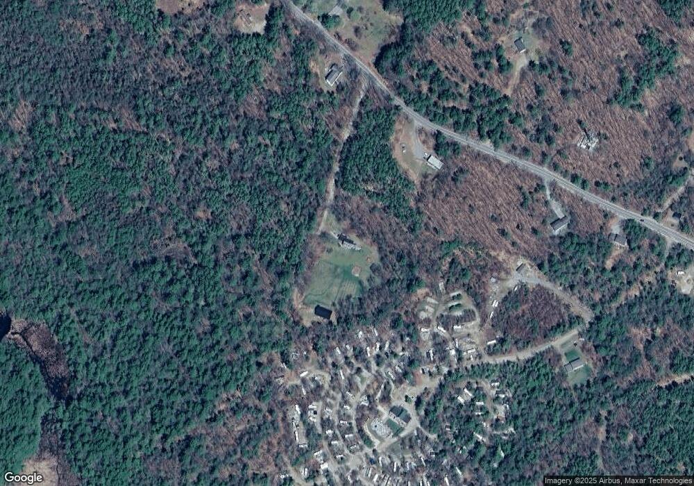
Map
Nearby Homes
- 5 Ferry Rd
- 31 Rays Way
- 29 Kona Farm Rd
- 21 Orton Ln
- 11 Geery Ln
- 27 First Point Rd
- 244 Wentworth Shores Rd
- 16 Long Island Rd
- 203 Krainewood Dr
- 30 Leopards Leap
- 122 Toltec Point Rd
- 41 Saint Gallen St
- 22 Tiger Trail
- 00 Grande St Unit 44
- 72 Sundorf St
- 00 Beede Rd
- 00 Sundorf St Unit 117
- 33 Blackadar Ln
- 16 Myrtle Dr
- 122-001-002 Governor Wentworth Hwy
- 770 Moultonboro Neck Rd
- 10 Quayside Yacht Club
- 752 Moultonboro Neck Rd
- 20 Barrett Place
- 00 Ferry Rd
- 0 Ferry Rd
- 0 Ferry Rd Unit 4158790
- 0 Ferry Rd Unit 2829646
- 0 Ferry Rd Unit 2762850
- 0 Ferry Rd Unit 4347775
- 0 Ferry Rd Unit Lot 3 4507186
- 782 Moultonboro Neck Rd
- 0 Barrett Place
- 0 Barrett Place Unit 4164749
- 0 Barrett Place Unit 2767474
- 777 Moultonboro Neck Rd
- 31 Barrett Place
- 714 Moultonboro Neck Rd
- 800 Moultonboro Neck Rd
- 23 Barrett Place