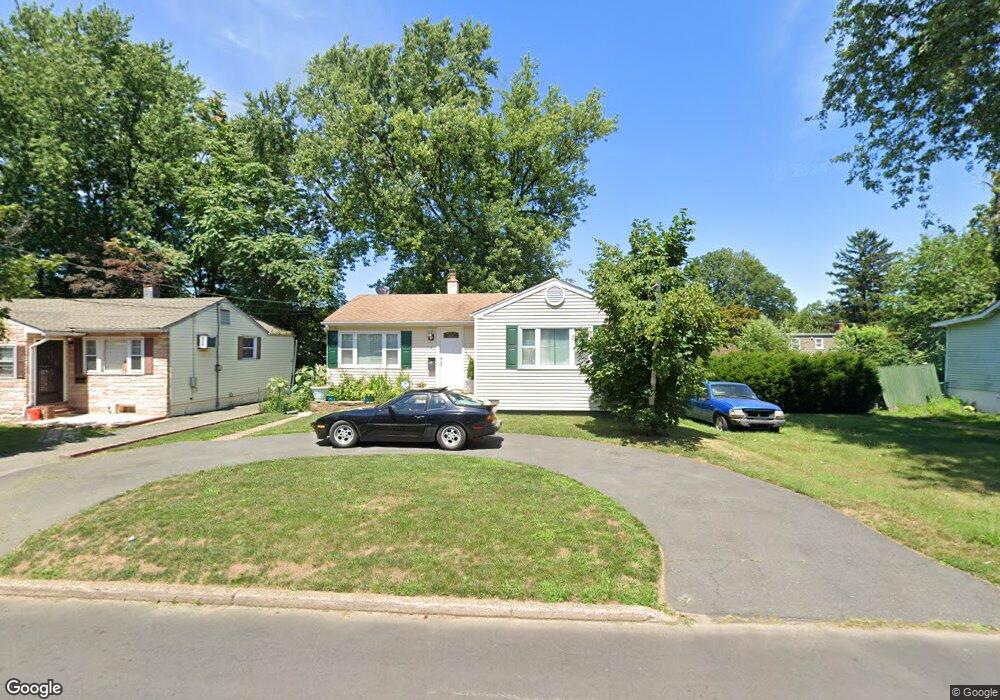
210 Brookside Ave Ewing, NJ 08638
Prospect NeighborhoodEstimated Value: $230,917 - $284,000
Studio
--
Bath
792
Sq Ft
$337/Sq Ft
Est. Value
About This Home
This home is located at 210 Brookside Ave, Ewing, NJ 08638 and is currently estimated at $267,229, approximately $337 per square foot. 210 Brookside Ave is a home located in Mercer County with nearby schools including Ewing High School, Paul Robeson Charter School For The Humanities, and Trenton Stem-To-Civics Charter School.
Ownership History
Date
Name
Owned For
Owner Type
Purchase Details
Closed on
Feb 29, 2008
Sold by
Gusmann Anthony V
Bought by
Ramos Fredy
Current Estimated Value
Home Financials for this Owner
Home Financials are based on the most recent Mortgage that was taken out on this home.
Original Mortgage
$147,250
Outstanding Balance
$91,636
Interest Rate
5.72%
Mortgage Type
New Conventional
Estimated Equity
$175,593
Purchase Details
Closed on
Sep 24, 2004
Sold by
Hud
Bought by
Vongusmann Anthony
Home Financials for this Owner
Home Financials are based on the most recent Mortgage that was taken out on this home.
Original Mortgage
$91,341
Interest Rate
5.8%
Purchase Details
Closed on
May 14, 1997
Sold by
Bankers Sav
Bought by
Moore David R and Tomenchok Robert
Create a Home Valuation Report for This Property
The Home Valuation Report is an in-depth analysis detailing your home's value as well as a comparison with similar homes in the area
Home Values in the Area
Average Home Value in this Area
Purchase History
| Date | Buyer | Sale Price | Title Company |
|---|---|---|---|
| Ramos Fredy | $155,000 | -- | |
| Vongusmann Anthony | $114,177 | -- | |
| Moore David R | $23,500 | -- |
Source: Public Records
Mortgage History
| Date | Status | Borrower | Loan Amount |
|---|---|---|---|
| Open | Ramos Fredy | $147,250 | |
| Previous Owner | Vongusmann Anthony | $91,341 |
Source: Public Records
Tax History
| Year | Tax Paid | Tax Assessment Tax Assessment Total Assessment is a certain percentage of the fair market value that is determined by local assessors to be the total taxable value of land and additions on the property. | Land | Improvement |
|---|---|---|---|---|
| 2025 | $4,566 | $116,100 | $41,200 | $74,900 |
| 2024 | $4,292 | $116,100 | $41,200 | $74,900 |
Source: Public Records
Map
Nearby Homes
- 100 Homecrest Ave
- 16 Clover Ave
- 34 Arlington Ave
- 257 Homecrest Ave
- 803 Pennington Ave
- 124 New Hillcrest Ave
- 0 Dryden Ave
- 116 Oliver Ave
- 125 Robbins Ave
- 119 Robbins Ave
- 21 Short St
- 31 Alden Ave
- 42 Hazelhurst Ave
- 531 533 Pennington Ave
- 54 Kelsey Ave
- 341 Stokes Ave
- 4 New Hillcrest Ave
- 1410 Pennington Rd
- 35 Rosedale Ave
- 805 Prospect St
- 212 Brookside Ave
- 206 Brookside Ave
- 214 Brookside Ave
- 121 Clover Ave
- 131 Clover Ave
- 211 Brookside Ave
- 209 Brookside Ave
- 111 Clover Ave
- 202 Brookside Ave
- 213 Brookside Ave
- 216 Brookside Ave
- 207 Brookside Ave
- 137 Clover Ave
- 205 Brookside Ave
- 200 Brookside Ave
- 218 Brookside Ave
- 139 Clover Ave
- 101 Clover Ave
- 110 Clover Ave
- 218 Parkway Ave
Your Personal Tour Guide
Ask me questions while you tour the home.