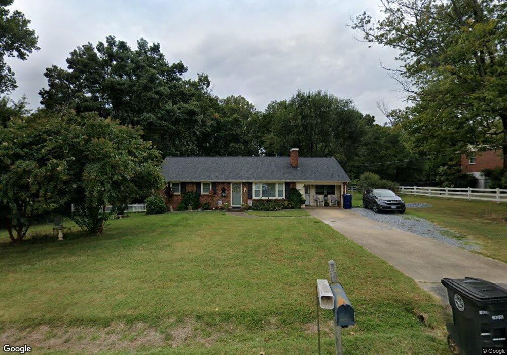
210 Bryant Rd Lynchburg, VA 24502
Estimated Value: $251,000 - $308,435
3
Beds
1
Bath
1,073
Sq Ft
$252/Sq Ft
Est. Value
About This Home
This home is located at 210 Bryant Rd, Lynchburg, VA 24502 and is currently estimated at $270,609, approximately $252 per square foot. 210 Bryant Rd is a home located in Lynchburg City with nearby schools including Sandusky Elementary School, Sandusky Middle School, and Heritage High School.
Ownership History
Date
Name
Owned For
Owner Type
Purchase Details
Closed on
Jun 3, 2010
Sold by
Chappelle Cerise M Roberts and Chappelle Kirt
Bought by
Chappelle Cerise M Roberts and Chappelle Kirt
Current Estimated Value
Purchase Details
Closed on
Sep 25, 2007
Sold by
Wood Brian K and Wood Tonya H
Bought by
Roberts Cerise M and Chappelle Kirt
Home Financials for this Owner
Home Financials are based on the most recent Mortgage that was taken out on this home.
Original Mortgage
$106,450
Interest Rate
6.49%
Mortgage Type
New Conventional
Create a Home Valuation Report for This Property
The Home Valuation Report is an in-depth analysis detailing your home's value as well as a comparison with similar homes in the area
Home Values in the Area
Average Home Value in this Area
Purchase History
| Date | Buyer | Sale Price | Title Company |
|---|---|---|---|
| Chappelle Cerise M Roberts | -- | None Available | |
| Roberts Cerise M | -- | Reliance Title And Settlemen |
Source: Public Records
Mortgage History
| Date | Status | Borrower | Loan Amount |
|---|---|---|---|
| Previous Owner | Roberts Cerise M | $106,450 |
Source: Public Records
Tax History Compared to Growth
Tax History
| Year | Tax Paid | Tax Assessment Tax Assessment Total Assessment is a certain percentage of the fair market value that is determined by local assessors to be the total taxable value of land and additions on the property. | Land | Improvement |
|---|---|---|---|---|
| 2025 | $1,784 | $212,400 | $40,000 | $172,400 |
| 2024 | $1,584 | $178,000 | $40,000 | $138,000 |
| 2023 | $1,584 | $178,000 | $40,000 | $138,000 |
| 2022 | $1,442 | $140,000 | $32,000 | $108,000 |
| 2021 | $1,554 | $140,000 | $32,000 | $108,000 |
| 2020 | $1,444 | $130,100 | $32,000 | $98,100 |
| 2019 | $1,444 | $130,100 | $32,000 | $98,100 |
| 2018 | $1,357 | $124,000 | $30,000 | $94,000 |
| 2017 | $1,376 | $124,000 | $30,000 | $94,000 |
| 2016 | $1,338 | $120,500 | $27,000 | $93,500 |
| 2015 | $1,338 | $120,500 | $27,000 | $93,500 |
| 2014 | $1,338 | $126,500 | $27,000 | $99,500 |
Source: Public Records
Map
Nearby Homes
- 52 Viking Dr
- 47 Viking Dr
- 308 Woodberry Ln
- 206 Creekview Ct
- 106 Omega Ct
- 109 Jonathans Landing
- 118 Riverbirch Trace
- 109 Blumont Dr
- 1085 Tori Ct
- 0 Forest Rd
- 202 Hounds Run
- 1 Cottontown Rd
- 1157 Sleepy Oak Ln
- 200 Jefferson Ridge Pkwy
- 206 Simsbury Ln
- 105 Simsbury Ln
- 3948 Peace St
- 148 Cobblestone Dr
- 1102 Twin Springs Ct
- 122 Sunset Ridge Rd