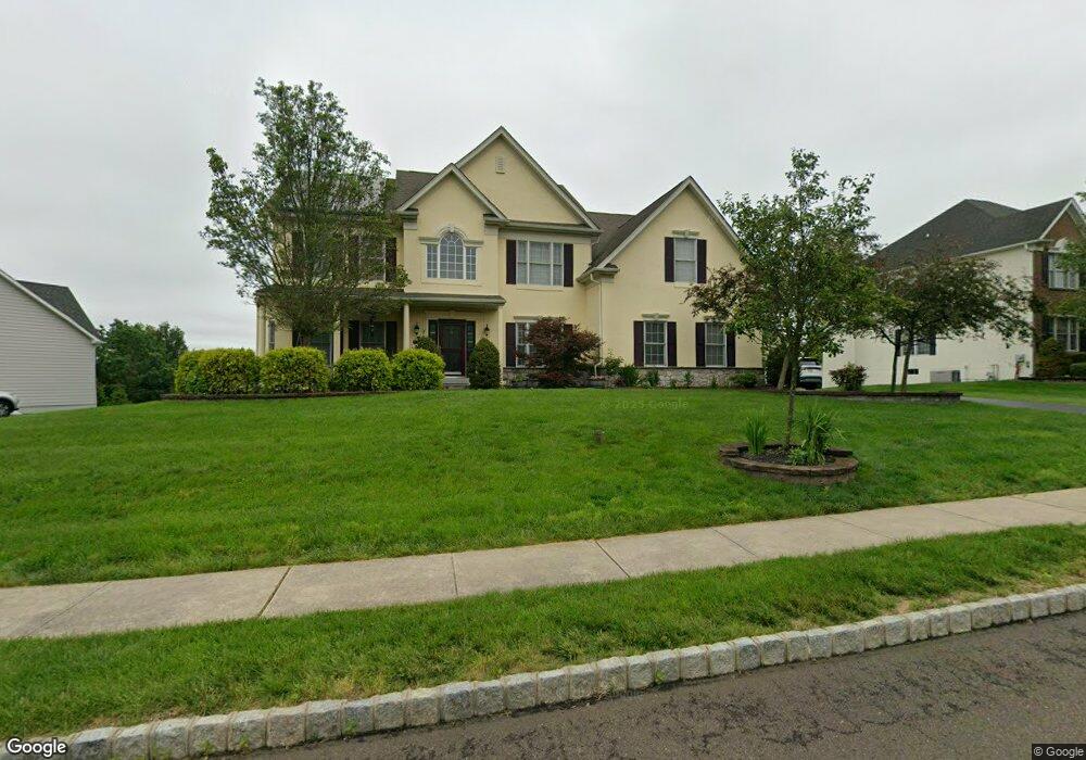
210 Cadwallader Dr Warrington, PA 18976
Estimated Value: $965,126 - $1,113,000
4
Beds
4
Baths
3,383
Sq Ft
$307/Sq Ft
Est. Value
About This Home
This home is located at 210 Cadwallader Dr, Warrington, PA 18976 and is currently estimated at $1,037,782, approximately $306 per square foot. 210 Cadwallader Dr is a home located in Bucks County with nearby schools including Kutz Elementary School, Lenape Middle School, and Central Bucks High School-West.
Ownership History
Date
Name
Owned For
Owner Type
Purchase Details
Closed on
Dec 21, 2007
Sold by
The Cutler Group Inc
Bought by
Nambi Nagu and Sundararajan Devika
Current Estimated Value
Home Financials for this Owner
Home Financials are based on the most recent Mortgage that was taken out on this home.
Original Mortgage
$417,000
Outstanding Balance
$260,097
Interest Rate
6.02%
Mortgage Type
Purchase Money Mortgage
Estimated Equity
$777,685
Create a Home Valuation Report for This Property
The Home Valuation Report is an in-depth analysis detailing your home's value as well as a comparison with similar homes in the area
Home Values in the Area
Average Home Value in this Area
Purchase History
| Date | Buyer | Sale Price | Title Company |
|---|---|---|---|
| Nambi Nagu | $585,115 | Landamerica |
Source: Public Records
Mortgage History
| Date | Status | Borrower | Loan Amount |
|---|---|---|---|
| Open | Nambi Nagu | $417,000 |
Source: Public Records
Tax History Compared to Growth
Tax History
| Year | Tax Paid | Tax Assessment Tax Assessment Total Assessment is a certain percentage of the fair market value that is determined by local assessors to be the total taxable value of land and additions on the property. | Land | Improvement |
|---|---|---|---|---|
| 2025 | $11,187 | $60,600 | $8,870 | $51,730 |
| 2024 | $11,187 | $60,600 | $8,870 | $51,730 |
| 2023 | $10,357 | $60,600 | $8,870 | $51,730 |
| 2022 | $10,152 | $60,600 | $8,870 | $51,730 |
| 2021 | $10,040 | $60,600 | $8,870 | $51,730 |
| 2020 | $10,040 | $60,600 | $8,870 | $51,730 |
| 2019 | $9,979 | $60,600 | $8,870 | $51,730 |
| 2018 | $9,868 | $60,600 | $8,870 | $51,730 |
| 2017 | $9,735 | $60,600 | $8,870 | $51,730 |
| 2016 | $9,704 | $60,600 | $8,870 | $51,730 |
| 2015 | -- | $60,600 | $8,870 | $51,730 |
| 2014 | -- | $60,600 | $8,870 | $51,730 |
Source: Public Records
Map
Nearby Homes
- 612 Bethel Ln Unit THE ROOSEVELT PLAN
- 612 Bethel Ln Unit THE MONROE PLAN
- 100 Fiddleleaf Ln Unit 104
- 100 Ginko St Unit 303
- 100 Claret Ct Unit 102
- 200 Beech Blvd Unit 202
- 200 Beech Blvd Unit 301
- 2756 Pickertown Rd
- 3159 Bristol Rd
- 2463 Pine Cone Rd
- 1105 Madison Cir
- 858 Elbow Ln
- 902 Eagle Ln
- 430 Homestead Cir
- 983 Wilson Ct
- 623 Addison Way
- 406 Primrose Place
- 73 Brinker Dr Unit S
- 418 Homestead Cir
- 2302 MacIs Cir
- 208 Cadwallader Dr
- 211 Cadwallader Dr
- 212 Cadwallader Dr
- 207 Cadwallader Dr
- 211 Cadwallader Rd Unit 15
- 213 Cadwallader Dr
- 409 Bens Run Ct
- 411 Bens Run Ct
- 206 Cadwallader Dr
- 207 Cadwallader Rd
- 207 Cadwallader Rd
- 222 Cadwallader Dr
- 222 Cadwallader Dr
- 222 Cadwallader Dr Unit 159
- 205 Cadwallader Dr
- 204 Cadwallader Dr
- 303 Joelle Ct
- 405 Bens Run Ct
- 412 Bens Run Ct
- 302 Joelle Ct