210 Falk Rd East Dummerston, VT 05346
Estimated Value: $368,000 - $687,000
4
Beds
2
Baths
1,872
Sq Ft
$291/Sq Ft
Est. Value
About This Home
This home is located at 210 Falk Rd, East Dummerston, VT 05346 and is currently estimated at $545,225, approximately $291 per square foot. 210 Falk Rd is a home located in Windham County with nearby schools including Dummerston School and Brattleboro Union High School.
Ownership History
Date
Name
Owned For
Owner Type
Purchase Details
Closed on
Nov 10, 2015
Sold by
Falk Sugden Karen
Bought by
Sugden John and Falk Sugden Karen
Current Estimated Value
Purchase Details
Closed on
Apr 24, 2009
Sold by
Falk Karen E
Bought by
Falk Esther
Purchase Details
Closed on
Apr 29, 1996
Sold by
Kane Lweis W and Kane Barbara R
Bought by
Winot Michael W and Winot Heidi L
Purchase Details
Closed on
Nov 4, 1994
Sold by
Roemmelt Christopher and Roemmelt Donna
Bought by
Kuhnert Virginia M and Kuhnert David E
Purchase Details
Closed on
Feb 6, 1992
Sold by
Morgan Michael
Bought by
Brown Robert P
Purchase Details
Closed on
Sep 28, 1988
Sold by
Galleher Jerrold and Zane Sandra G
Bought by
Brown Thomas E and Brown Robert P
Create a Home Valuation Report for This Property
The Home Valuation Report is an in-depth analysis detailing your home's value as well as a comparison with similar homes in the area
Home Values in the Area
Average Home Value in this Area
Purchase History
| Date | Buyer | Sale Price | Title Company |
|---|---|---|---|
| Sugden John | -- | -- | |
| Falk Esther | -- | -- | |
| Falk Esther | -- | -- | |
| Winot Michael W | $90,500 | -- | |
| Winot Michael W | $90,500 | -- | |
| Kuhnert Virginia M | $92,000 | -- | |
| Kuhnert Virginia M | $92,000 | -- | |
| Brown Robert P | $3,000 | -- | |
| Brown Robert P | $3,000 | -- | |
| Brown Thomas E | $9,000 | -- | |
| Brown Thomas E | $9,000 | -- |
Source: Public Records
Tax History Compared to Growth
Tax History
| Year | Tax Paid | Tax Assessment Tax Assessment Total Assessment is a certain percentage of the fair market value that is determined by local assessors to be the total taxable value of land and additions on the property. | Land | Improvement |
|---|---|---|---|---|
| 2024 | $9,304 | $450,100 | $232,800 | $217,300 |
| 2023 | $7,931 | $450,100 | $232,800 | $217,300 |
| 2022 | $8,626 | $450,100 | $232,800 | $217,300 |
| 2021 | $8,790 | $450,100 | $232,800 | $217,300 |
| 2020 | $9,259 | $455,400 | $285,600 | $169,800 |
| 2019 | $9,044 | $455,400 | $285,600 | $169,800 |
| 2018 | $9,099 | $455,400 | $285,600 | $169,800 |
| 2016 | $8,933 | $455,400 | $285,600 | $169,800 |
Source: Public Records
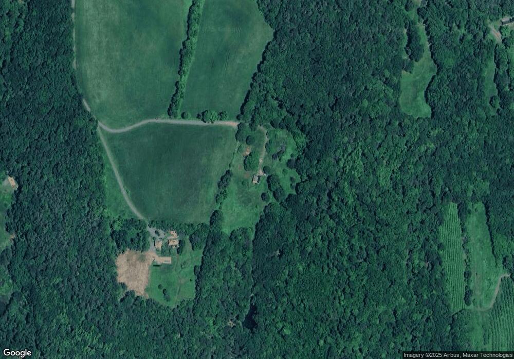
Map
Nearby Homes
- 932 Middle Rd
- 135 Fred Houghton Rd
- 1123 River Rd
- 37 Fred Houghton Rd
- 4 Signal Pine Rd
- 62 Westminster Rd
- 119 Main St
- 13 Kimball Hill
- 153 Westminster Rd
- 159 Westminster Rd
- 203 Westminster Rd
- 1555 W River Rd
- 30 Farr Rd
- Lot 20 -20.3 Farr Rd
- 183 Bear Hill Rd
- 80 Banning Rd
- 136 Cross Rd
- 5 Hillwinds N
- 0 Banning Rd
- 31 Crescent Dr