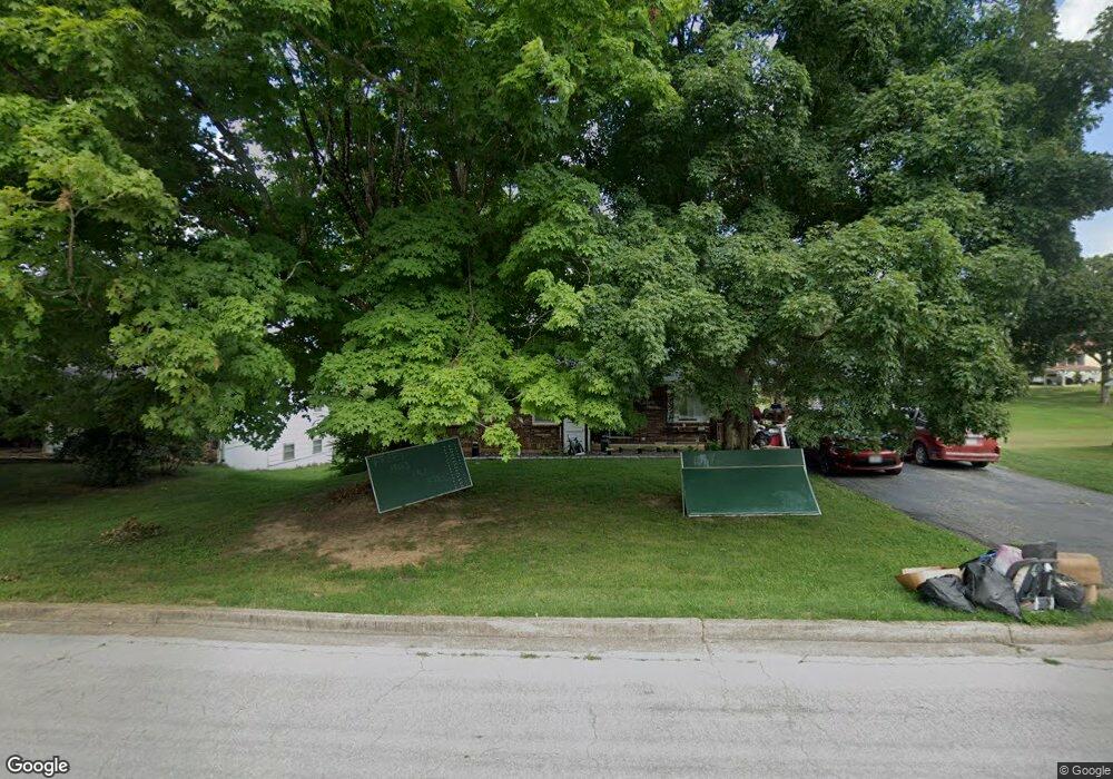
210 Humphries Dr West Plains, MO 65775
Estimated Value: $119,495 - $252,000
--
Bed
--
Bath
1,224
Sq Ft
$153/Sq Ft
Est. Value
About This Home
This home is located at 210 Humphries Dr, West Plains, MO 65775 and is currently estimated at $187,124, approximately $152 per square foot. 210 Humphries Dr is a home with nearby schools including West Plains Senior High School and Faith Assembly Christian School.
Ownership History
Date
Name
Owned For
Owner Type
Purchase Details
Closed on
Feb 27, 2017
Sold by
Williams Charles L and Williams Patricia S
Bought by
Collins William and Collins Laura
Current Estimated Value
Home Financials for this Owner
Home Financials are based on the most recent Mortgage that was taken out on this home.
Original Mortgage
$67,000
Outstanding Balance
$57,344
Interest Rate
4.19%
Mortgage Type
USDA
Estimated Equity
$129,781
Purchase Details
Closed on
Aug 1, 2005
Sold by
Egan James A and Egan Barbara A
Bought by
Amore Martin and Amore Charlotte
Home Financials for this Owner
Home Financials are based on the most recent Mortgage that was taken out on this home.
Original Mortgage
$94,000
Interest Rate
5.37%
Mortgage Type
Purchase Money Mortgage
Create a Home Valuation Report for This Property
The Home Valuation Report is an in-depth analysis detailing your home's value as well as a comparison with similar homes in the area
Home Values in the Area
Average Home Value in this Area
Purchase History
| Date | Buyer | Sale Price | Title Company |
|---|---|---|---|
| Collins William | -- | None Available | |
| Amore Martin | -- | Btc |
Source: Public Records
Mortgage History
| Date | Status | Borrower | Loan Amount |
|---|---|---|---|
| Open | Collins William | $67,000 | |
| Previous Owner | Amore Martin | $94,000 |
Source: Public Records
Tax History Compared to Growth
Tax History
| Year | Tax Paid | Tax Assessment Tax Assessment Total Assessment is a certain percentage of the fair market value that is determined by local assessors to be the total taxable value of land and additions on the property. | Land | Improvement |
|---|---|---|---|---|
| 2025 | $810 | $19,560 | $1,660 | $17,900 |
| 2024 | $805 | $17,460 | -- | -- |
| 2023 | $805 | $17,460 | $0 | $0 |
| 2022 | $760 | $16,510 | $0 | $0 |
| 2021 | $711 | $16,510 | $0 | $0 |
| 2020 | $711 | $15,090 | $0 | $0 |
| 2019 | $733 | $14,970 | $0 | $0 |
| 2018 | $733 | $14,970 | $0 | $0 |
| 2017 | $858 | $17,590 | $0 | $0 |
| 2015 | -- | $16,770 | $0 | $0 |
| 2014 | -- | $16,770 | $0 | $0 |
| 2013 | -- | $16,770 | $0 | $0 |
Source: Public Records
Map
Nearby Homes
- 217-223 S Utah Ave
- 217 S Harlin Dr
- 1211 W Main St
- Lot 2 Webster Ave
- Lot 1 Webster Ave
- 115 N Harlin Dr
- 413 Halstead St
- 1028 Armstrong St
- 210 Pine St
- 105 N Harms St
- 914 Armstrong Ave
- 705 Preacher Roe Blvd
- 999 Preacher Roe Blvd
- 413 Halstead St
- 220 Preacher Roe Blvd
- 912 Armstrong Ave
- 1218 W Main St
- 910 W Broadway St
- 520 Texas St
- 508 Monks St
- 212 Humphries Dr
- 208 Humphries Dr
- 213 Humphries Dr
- 206 Humphries Dr
- 231 Westmont Ave
- 207 Humphries Dr
- 209 Westmont Dr
- 215 Humphries Dr
- 0000 Humphries Dr
- 218 Humphries Dr
- 212 S Utah Ave
- 207 Westmont Dr
- 214 S Utah St
- 217 Humphries Dr
- 303 Westmont Dr
- 210 S Utah St
- 216 S Utah Ave
- 220 Humphries Dr
- 205 Westmont Ave
- 203 Humphries Dr