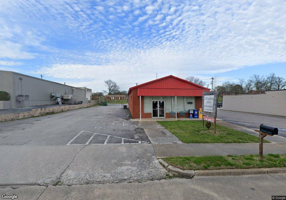
210 Lane Pkwy Shelbyville, TN 37160
Estimated Value: $178,705
--
Bed
1
Bath
2,498
Sq Ft
$72/Sq Ft
Est. Value
About This Home
This home is located at 210 Lane Pkwy, Shelbyville, TN 37160 and is currently estimated at $178,705, approximately $71 per square foot. 210 Lane Pkwy is a home located in Bedford County with nearby schools including Eakin Elementary School, Harris Middle School, and Christian Chapel Academy.
Ownership History
Date
Name
Owned For
Owner Type
Purchase Details
Closed on
Jan 2, 2014
Sold by
Palmer Mary Carol
Bought by
Farrar James E
Current Estimated Value
Purchase Details
Closed on
Aug 25, 2004
Sold by
Whitman Vaughn B
Bought by
Palmer Mary Carol
Purchase Details
Closed on
May 24, 1994
Sold by
Whitman Reecie D
Bought by
Whitman William T
Purchase Details
Closed on
Jan 1, 1981
Bought by
Whitman Clyde C
Create a Home Valuation Report for This Property
The Home Valuation Report is an in-depth analysis detailing your home's value as well as a comparison with similar homes in the area
Home Values in the Area
Average Home Value in this Area
Purchase History
| Date | Buyer | Sale Price | Title Company |
|---|---|---|---|
| Farrar James E | $69,850 | -- | |
| Palmer Mary Carol | $150,000 | -- | |
| Whitman William T | -- | -- | |
| Whitman Clyde C | $35,600 | -- |
Source: Public Records
Tax History Compared to Growth
Tax History
| Year | Tax Paid | Tax Assessment Tax Assessment Total Assessment is a certain percentage of the fair market value that is determined by local assessors to be the total taxable value of land and additions on the property. | Land | Improvement |
|---|---|---|---|---|
| 2025 | -- | $107,880 | $0 | $0 |
| 2024 | -- | $107,880 | $52,400 | $55,480 |
| 2023 | $1,597 | $107,880 | $52,400 | $55,480 |
| 2022 | $4,223 | $107,880 | $52,400 | $55,480 |
| 2021 | $3,835 | $107,880 | $52,400 | $55,480 |
| 2020 | $2,906 | $107,880 | $52,400 | $55,480 |
| 2019 | $2,906 | $65,600 | $46,200 | $19,400 |
| 2018 | $2,840 | $65,600 | $46,200 | $19,400 |
| 2017 | $2,840 | $65,600 | $46,200 | $19,400 |
| 2016 | $2,814 | $65,600 | $46,200 | $19,400 |
| 2015 | $2,814 | $65,600 | $46,200 | $19,400 |
| 2014 | $2,444 | $62,352 | $0 | $0 |
Source: Public Records
Map
Nearby Homes
- 0 Hilltop Rd Unit RTC2897754
- 0 Hilltop Rd Unit RTC3001632
- 115 W End Cir
- 527 Deery St
- 0 E Depot St
- 418 Riverview Dr
- 100 Baker St
- 220 Walnut St
- 636 Deery St
- 329 Dover St
- 1204 W Lane St
- 713 King Ave
- 703 Deery St
- 724 Alton Ave
- 100 Demombreum Cir
- 112 E Cedar St
- 110 Demonbreum Cir
- 152 Demonbreum Cir
- 111 Demonbreum Cir
- 714 King Ave