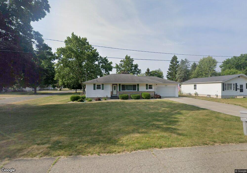
210 Lindy Ave Eaton Rapids, MI 48827
Estimated Value: $207,000 - $233,911
3
Beds
1
Bath
1,452
Sq Ft
$152/Sq Ft
Est. Value
About This Home
This home is located at 210 Lindy Ave, Eaton Rapids, MI 48827 and is currently estimated at $219,978, approximately $151 per square foot. 210 Lindy Ave is a home located in Eaton County with nearby schools including Lockwood Elementary School, Greyhound Intermediate School, and Eaton Rapids Middle School.
Ownership History
Date
Name
Owned For
Owner Type
Purchase Details
Closed on
Mar 18, 2019
Sold by
Palacios Maximino
Bought by
Palacios Maximino and Palacios Max C
Current Estimated Value
Purchase Details
Closed on
May 26, 2017
Sold by
Devers Elenare J and The Kenneth R & Elenore Devers
Bought by
Palacios Maximino
Home Financials for this Owner
Home Financials are based on the most recent Mortgage that was taken out on this home.
Original Mortgage
$66,600
Outstanding Balance
$55,488
Interest Rate
4.08%
Mortgage Type
New Conventional
Estimated Equity
$164,490
Create a Home Valuation Report for This Property
The Home Valuation Report is an in-depth analysis detailing your home's value as well as a comparison with similar homes in the area
Home Values in the Area
Average Home Value in this Area
Purchase History
| Date | Buyer | Sale Price | Title Company |
|---|---|---|---|
| Palacios Maximino | -- | None Available | |
| Palacios Maximino | $111,000 | Ata National Title Group Llc |
Source: Public Records
Mortgage History
| Date | Status | Borrower | Loan Amount |
|---|---|---|---|
| Open | Palacios Maximino | $66,600 |
Source: Public Records
Tax History Compared to Growth
Tax History
| Year | Tax Paid | Tax Assessment Tax Assessment Total Assessment is a certain percentage of the fair market value that is determined by local assessors to be the total taxable value of land and additions on the property. | Land | Improvement |
|---|---|---|---|---|
| 2025 | $2,875 | $114,300 | $0 | $0 |
| 2024 | $2,027 | $111,100 | $0 | $0 |
| 2023 | $2,047 | $104,400 | $0 | $0 |
| 2022 | $2,783 | $92,300 | $0 | $0 |
| 2021 | $2,684 | $84,500 | $0 | $0 |
| 2020 | $2,659 | $74,800 | $0 | $0 |
| 2019 | $2,623 | $76,732 | $0 | $0 |
| 2018 | $2,562 | $59,732 | $0 | $0 |
| 2017 | $2,156 | $55,500 | $0 | $0 |
| 2016 | -- | $52,600 | $0 | $0 |
| 2015 | -- | $51,050 | $0 | $0 |
| 2014 | -- | $50,050 | $0 | $0 |
| 2013 | -- | $49,750 | $0 | $0 |
Source: Public Records
Map
Nearby Homes
- 306 Grand St
- 315 Hamman Dr
- V/L Chester St
- 0 S Clinton Trail Unit 20018035
- 645 N Gallery Dr Unit 98
- 539 Harwood Ct Unit 134
- 933 Tyler Dr
- 201 W Broad St
- 716 Cumberland Dr
- 208 Dutton St
- 502 S Main St
- 502 S East St
- 500 King St
- 220 S River St
- 5399 Durfee Rd
- 605 Muirfield Dr
- 776 Saint Andrews Dr
- 776 Saint Andrews Dr Unit 6
- 601 Muirfield Dr
- Integrity 1880 Plan at Inverness Homes - Integrity