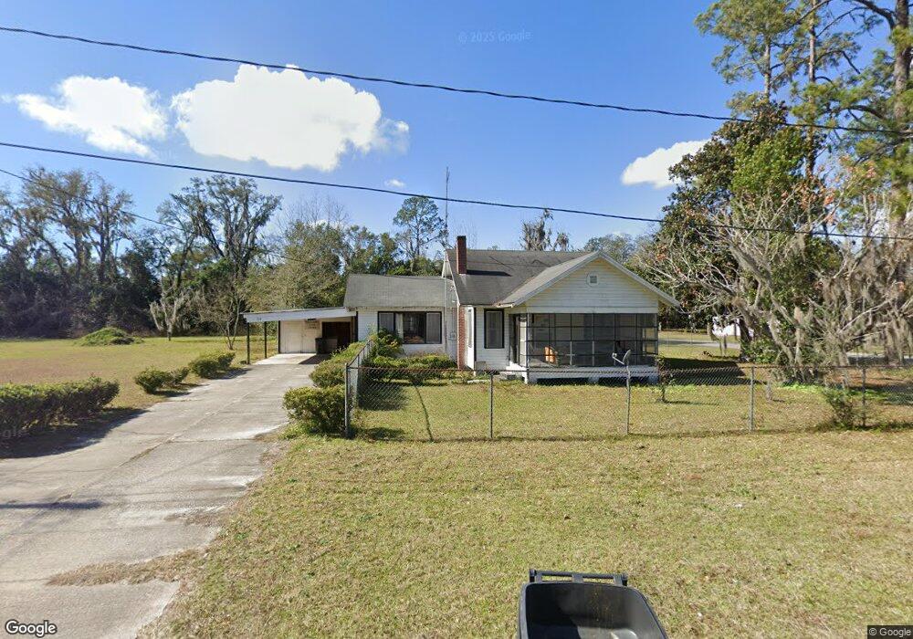
210 S 7th St MacClenny, FL 32063
Estimated Value: $120,000 - $182,000
--
Bed
1
Bath
1,296
Sq Ft
$113/Sq Ft
Est. Value
About This Home
This home is located at 210 S 7th St, MacClenny, FL 32063 and is currently estimated at $146,754, approximately $113 per square foot. 210 S 7th St is a home located in Baker County with nearby schools including Keller Intermediate School, MacClenny Elementary School, and Baker County Middle School.
Ownership History
Date
Name
Owned For
Owner Type
Purchase Details
Closed on
Jan 22, 2020
Sold by
Powell Joann Tyson and Powell Randy Lee
Bought by
Raulerson Roger Dale and Raulerson Amanda
Current Estimated Value
Home Financials for this Owner
Home Financials are based on the most recent Mortgage that was taken out on this home.
Original Mortgage
$65,000
Outstanding Balance
$33,483
Interest Rate
3.74%
Mortgage Type
New Conventional
Estimated Equity
$113,271
Purchase Details
Closed on
Apr 7, 2008
Sold by
Altman Geraldine
Bought by
Altman Geraldine
Create a Home Valuation Report for This Property
The Home Valuation Report is an in-depth analysis detailing your home's value as well as a comparison with similar homes in the area
Home Values in the Area
Average Home Value in this Area
Purchase History
| Date | Buyer | Sale Price | Title Company |
|---|---|---|---|
| Raulerson Roger Dale | $70,000 | Baker Title & Escrow Co Inc | |
| Altman Geraldine | -- | None Available |
Source: Public Records
Mortgage History
| Date | Status | Borrower | Loan Amount |
|---|---|---|---|
| Open | Raulerson Roger Dale | $65,000 |
Source: Public Records
Tax History Compared to Growth
Tax History
| Year | Tax Paid | Tax Assessment Tax Assessment Total Assessment is a certain percentage of the fair market value that is determined by local assessors to be the total taxable value of land and additions on the property. | Land | Improvement |
|---|---|---|---|---|
| 2024 | $1,403 | $81,231 | $41,300 | $39,931 |
| 2023 | $1,327 | $74,731 | $0 | $0 |
| 2022 | $1,222 | $67,937 | $0 | $0 |
| 2021 | $1,111 | $61,761 | $36,025 | $25,736 |
| 2020 | $1,605 | $88,268 | $0 | $0 |
| 2019 | $170 | $48,329 | $0 | $0 |
| 2018 | $416 | $81,244 | $0 | $0 |
| 2017 | $402 | $78,570 | $0 | $0 |
| 2016 | $391 | $75,988 | $0 | $0 |
| 2015 | $393 | $72,646 | $0 | $0 |
| 2014 | $390 | $70,974 | $0 | $0 |
Source: Public Records
Map
Nearby Homes
- No address Highway 90
- 406 Sycamore Dr
- 00 S 7th St
- 0 6th St
- 167 South Blvd W
- 520 W Railroad Ave
- 505 S 7th St
- 47 N 5th St
- 423 South Blvd W
- 123 South Blvd E
- TBD Highway 90
- 113 W Ohio Ave
- 311 N 4th St
- 639 W Ohio Ave
- 718 Eagle Dr
- 500 Timberlane Dr
- 808 Fox Run Cir
- 748 Constitution Place
- TBD Florida 228
- 0 Florida 228
- 224 S 7th St
- 236 S 7th St
- 172 W Mciver Ave
- 292
- 233 M l King Dr
- 249 Martin Luther King Dr
- 233 Martin Luther King Junior Dr
- 233 Martin Luther King Dr
- 173 W Mciver Ave
- 211 W Michigan Ave
- 274 S 7th St
- 146 W Mciver Ave
- 245 Martin Luther King Dr
- 241 W Michigan Ave
- 124 M l King Dr
- 149 W Mciver Ave
- 271 S 7th St
- 205 Rock Ct
- 211 Rock Ct
- 147 W Mciver Ave