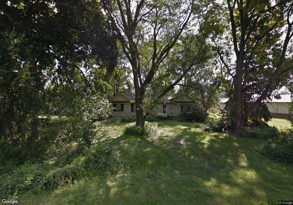
210 West St Reasnor, IA 50232
Estimated Value: $121,426 - $205,000
4
Beds
1
Bath
1,426
Sq Ft
$114/Sq Ft
Est. Value
About This Home
This home is located at 210 West St, Reasnor, IA 50232 and is currently estimated at $162,857, approximately $114 per square foot. 210 West St is a home located in Jasper County with nearby schools including PCM High School.
Ownership History
Date
Name
Owned For
Owner Type
Purchase Details
Closed on
Oct 7, 2024
Sold by
Kramer Kellie C
Bought by
Drew Jacob and Drew Victoria
Current Estimated Value
Purchase Details
Closed on
Jul 12, 2011
Sold by
Wells Fargo Financial Iowa 3 Inc
Bought by
Kramer Kellie C
Purchase Details
Closed on
Feb 16, 2011
Sold by
Wagnor Johnny L and Wagnor Pamela S
Bought by
Wells Fargo Financial Iowa 2 Inc
Create a Home Valuation Report for This Property
The Home Valuation Report is an in-depth analysis detailing your home's value as well as a comparison with similar homes in the area
Home Values in the Area
Average Home Value in this Area
Purchase History
| Date | Buyer | Sale Price | Title Company |
|---|---|---|---|
| Drew Jacob | $25,000 | None Listed On Document | |
| Kramer Kellie C | $14,500 | None Available | |
| Wells Fargo Financial Iowa 2 Inc | $17,516 | None Available |
Source: Public Records
Tax History Compared to Growth
Tax History
| Year | Tax Paid | Tax Assessment Tax Assessment Total Assessment is a certain percentage of the fair market value that is determined by local assessors to be the total taxable value of land and additions on the property. | Land | Improvement |
|---|---|---|---|---|
| 2025 | $768 | $21,900 | $9,900 | $12,000 |
| 2024 | $768 | $58,790 | $9,900 | $48,890 |
| 2023 | $1,170 | $58,790 | $9,900 | $48,890 |
| 2022 | $1,268 | $74,950 | $9,900 | $65,050 |
| 2021 | $1,328 | $69,130 | $9,900 | $59,230 |
| 2020 | $1,328 | $65,900 | $7,390 | $58,510 |
| 2019 | $1,084 | $56,450 | $0 | $0 |
| 2018 | $1,084 | $56,450 | $0 | $0 |
| 2017 | $1,096 | $56,450 | $0 | $0 |
| 2016 | $1,096 | $56,450 | $0 | $0 |
| 2015 | $1,034 | $56,450 | $0 | $0 |
| 2014 | $962 | $56,450 | $0 | $0 |
Source: Public Records
Map
Nearby Homes
- 424 Newton St
- 5760 S 80th Ave E
- 5211 S 70th Ave E
- 7404 Sioux Ave
- 6657 E 78th St S
- 1397 S 52nd Ave E
- 713 N Monroe St
- 310 E Lincoln St
- 411 N Virginia St
- 307 E Lincoln St
- 410 E Washington St
- 601 N Commerce St
- 101 N Virginia St
- 213 W Lincoln St
- 413 N Buchanan St
- 4683 Legion St Unit ST80
- 606 W South St
- 206 Beverly Cir
- 305-307 Coneflower Ct
- 309 Coneflower Ct