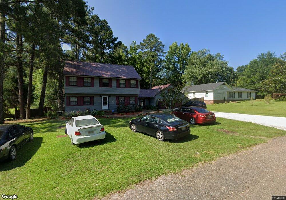
210 Woodbriar Ln Philadelphia, MS 39350
Estimated Value: $137,000 - $160,000
--
Bed
3
Baths
2,494
Sq Ft
$61/Sq Ft
Est. Value
About This Home
This home is located at 210 Woodbriar Ln, Philadelphia, MS 39350 and is currently estimated at $151,606, approximately $60 per square foot. 210 Woodbriar Ln is a home located in Neshoba County with nearby schools including Philadelphia Elementary School, Philadelphia Middle School, and Philadelphia High School.
Ownership History
Date
Name
Owned For
Owner Type
Purchase Details
Closed on
Oct 31, 2019
Sold by
Mccurty Christopher
Bought by
Moore Tatiana Q
Current Estimated Value
Purchase Details
Closed on
Nov 15, 2007
Sold by
Deutsche Bank National Trust Company
Bought by
Dortch Jimmie
Home Financials for this Owner
Home Financials are based on the most recent Mortgage that was taken out on this home.
Original Mortgage
$119,625
Interest Rate
6.32%
Mortgage Type
Purchase Money Mortgage
Create a Home Valuation Report for This Property
The Home Valuation Report is an in-depth analysis detailing your home's value as well as a comparison with similar homes in the area
Home Values in the Area
Average Home Value in this Area
Purchase History
| Date | Buyer | Sale Price | Title Company |
|---|---|---|---|
| Moore Tatiana Q | -- | -- | |
| Dortch Jimmie | -- | -- |
Source: Public Records
Mortgage History
| Date | Status | Borrower | Loan Amount |
|---|---|---|---|
| Previous Owner | Dortch Jimmie | $119,625 |
Source: Public Records
Tax History Compared to Growth
Tax History
| Year | Tax Paid | Tax Assessment Tax Assessment Total Assessment is a certain percentage of the fair market value that is determined by local assessors to be the total taxable value of land and additions on the property. | Land | Improvement |
|---|---|---|---|---|
| 2025 | $1,436 | $12,001 | $0 | $0 |
| 2024 | $1,436 | $12,615 | $0 | $0 |
| 2023 | $1,312 | $11,671 | $0 | $0 |
| 2022 | $1,312 | $11,671 | $0 | $0 |
| 2021 | $1,314 | $11,671 | $0 | $0 |
| 2020 | $2,371 | $17,208 | $0 | $0 |
| 2019 | $2,261 | $16,587 | $0 | $0 |
| 2018 | $2,782 | $20,643 | $0 | $0 |
| 2017 | $878 | $13,762 | $0 | $0 |
| 2016 | $985 | $14,522 | $0 | $0 |
| 2015 | -- | $14,409 | $0 | $0 |
| 2014 | -- | $14,409 | $0 | $0 |
Source: Public Records
Map
Nearby Homes
- 206 Woodbriar Ln
- 1012 Kosciusko Rd
- 904 Pecan Ave
- 736 Forest Park Cir
- 708 Forest Park Cir
- 738 Forest Park Cir
- 0 Woodland Hills Dr
- 100 Highway 19
- 0 Mississippi 19
- 01 Mississippi 19
- 457 Pecan Ave
- 271A Byrd Ave
- 437C Pecan Ave
- 408 Hospital St
- 0 Columbus Ave
- 414 Columbus Ave Unit A
- 138 Plantation Point Dr N
- 423 Pecan Ave
- 103 Gateway Dr
- 0 S Plantation Unit 25-814
- 212 Woodbriar Ln
- 208 Woodbriar Ln
- 917 Kosciusko Rd
- 209 Woodbriar Ln
- 215 Woodbriar Ln
- 207 Woodbriar Ln
- 918 Kosciusko Rd
- 916 Kosciusko Rd
- 205 Woodbriar Ln
- 909 Kosciusko Rd
- 912 Pecan Ave
- 302 Northwood Dr
- 906 Pecan Ave
- 916 Pecan Ave
- 908 Kosciusko Rd
- 304 Northwood Dr
- 903 Pecan Ave
- 1013 Kosciusko Rd
- 911 Pecan Ave
- 303 Northwood Dr