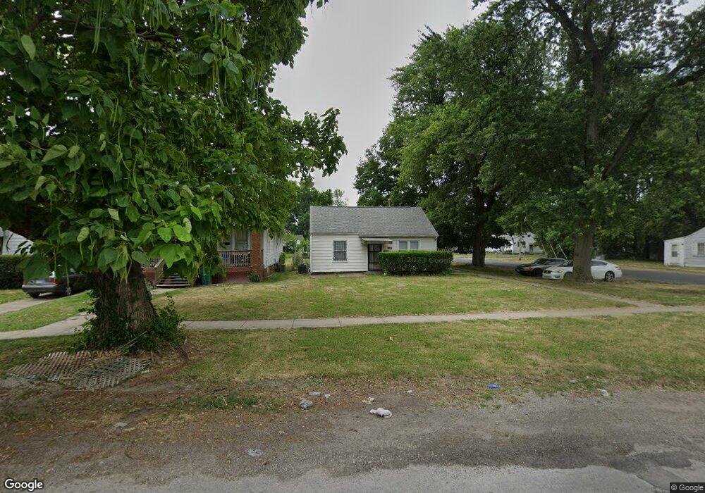
2100 E Adams St Springfield, IL 62703
Estimated Value: $51,000 - $65,000
2
Beds
1
Bath
739
Sq Ft
$76/Sq Ft
Est. Value
About This Home
This home is located at 2100 E Adams St, Springfield, IL 62703 and is currently estimated at $56,080, approximately $75 per square foot. 2100 E Adams St is a home located in Sangamon County with nearby schools including Matheny-Withrow Elementary School, Washington Middle School, and Lanphier High School.
Ownership History
Date
Name
Owned For
Owner Type
Purchase Details
Closed on
May 31, 2024
Sold by
Drn Rentals Llc
Bought by
Arbogast Ashley
Current Estimated Value
Home Financials for this Owner
Home Financials are based on the most recent Mortgage that was taken out on this home.
Original Mortgage
$37,500
Outstanding Balance
$37,029
Interest Rate
7.1%
Mortgage Type
New Conventional
Estimated Equity
$19,051
Purchase Details
Closed on
Apr 2, 2024
Sold by
Mcculley Gregory T and Shrake Kenneth R
Bought by
Drn Rentals Llc
Home Financials for this Owner
Home Financials are based on the most recent Mortgage that was taken out on this home.
Original Mortgage
$37,500
Outstanding Balance
$37,029
Interest Rate
7.1%
Mortgage Type
New Conventional
Estimated Equity
$19,051
Purchase Details
Closed on
Nov 3, 2001
Purchase Details
Closed on
Dec 9, 1999
Create a Home Valuation Report for This Property
The Home Valuation Report is an in-depth analysis detailing your home's value as well as a comparison with similar homes in the area
Purchase History
| Date | Buyer | Sale Price | Title Company |
|---|---|---|---|
| Arbogast Ashley | $50,000 | None Listed On Document | |
| Drn Rentals Llc | $27,000 | None Listed On Document | |
| -- | $22,000 | -- | |
| -- | $20,000 | -- |
Source: Public Records
Mortgage History
| Date | Status | Borrower | Loan Amount |
|---|---|---|---|
| Open | Arbogast Ashley | $37,500 | |
| Previous Owner | Drn Rentals Llc | $21,600 |
Source: Public Records
Tax History
| Year | Tax Paid | Tax Assessment Tax Assessment Total Assessment is a certain percentage of the fair market value that is determined by local assessors to be the total taxable value of land and additions on the property. | Land | Improvement |
|---|---|---|---|---|
| 2024 | $410 | $9,404 | $1,679 | $7,725 |
| 2023 | $431 | $8,337 | $1,534 | $6,803 |
| 2022 | $437 | $7,908 | $1,455 | $6,453 |
| 2021 | $439 | $7,612 | $1,401 | $6,211 |
| 2020 | $430 | $7,623 | $1,403 | $6,220 |
| 2019 | $423 | $7,596 | $1,398 | $6,198 |
| 2018 | $412 | $8,368 | $1,391 | $6,977 |
| 2017 | $409 | $8,260 | $1,373 | $6,887 |
| 2016 | $407 | $8,140 | $1,353 | $6,787 |
| 2015 | $408 | $8,043 | $1,337 | $6,706 |
| 2014 | $404 | $7,991 | $1,328 | $6,663 |
| 2013 | $395 | $8,516 | $1,328 | $7,188 |
Source: Public Records
Map
Nearby Homes
- 2236 E Adams St
- 222 S David St
- 253 White City Blvd
- 530 S Livingston St Unit 1
- 1415 E Jefferson St
- 1405 E Edwards St
- 2310 E Kansas St
- 300 Forrest Ave Unit 62
- 300 Forrest Ave Unit 107
- 300 Forrest Ave Unit 109
- 802 N Indiana Ave
- 1521 E Matheny Ave
- 1105 Knoll Pointe Place
- 1909 E Cedar St
- 2124 Cincinnati Ave Unit 1
- 2325 E Spruce St
- 810 E Edwards St
- 9 Alken Ct
- 1111 N Albany St Unit 1
- 2267 Cincinnati Ave
- 2104 E Adams St
- 2108 E Adams St
- 2112 E Adams St
- 2056 E Adams St
- 2052 E Adams St
- 2109 E Adams St
- 2105 E Adams St
- 2113 E Adams St
- 2116 E Adams St
- 2048 E Adams St
- 219 S Wheeler Ave
- 2109 E Monroe St
- 2117 E Adams St
- 2105 E Monroe St
- 153 S Wheeler Ave
- 2101 E Monroe St
- 2124 E Adams St
- 225 S Wheeler Ave
- 2044 E Adams St
- 2113 E Monroe St