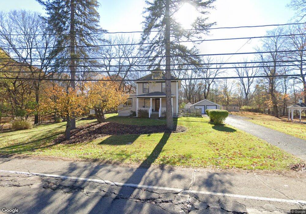
2100 Forest Rd Lansing, MI 48910
Forest View NeighborhoodEstimated Value: $240,000 - $284,000
--
Bed
--
Bath
1,992
Sq Ft
$128/Sq Ft
Est. Value
About This Home
This home is located at 2100 Forest Rd, Lansing, MI 48910 and is currently estimated at $255,275, approximately $128 per square foot. 2100 Forest Rd is a home located in Ingham County with nearby schools including Forest View School, Pattengill Academy, and Eastern High School.
Ownership History
Date
Name
Owned For
Owner Type
Purchase Details
Closed on
Nov 12, 2010
Sold by
Hedley Carissa
Bought by
Hedley Daniel J
Current Estimated Value
Purchase Details
Closed on
Jan 21, 2003
Sold by
Hedley Daniel J
Bought by
Hedley Daniel J and Hedley Carissa
Home Financials for this Owner
Home Financials are based on the most recent Mortgage that was taken out on this home.
Original Mortgage
$100,000
Interest Rate
6.06%
Mortgage Type
Purchase Money Mortgage
Create a Home Valuation Report for This Property
The Home Valuation Report is an in-depth analysis detailing your home's value as well as a comparison with similar homes in the area
Home Values in the Area
Average Home Value in this Area
Purchase History
| Date | Buyer | Sale Price | Title Company |
|---|---|---|---|
| Hedley Daniel J | -- | Parks Title | |
| Hedley Daniel J | -- | Transnation Title |
Source: Public Records
Mortgage History
| Date | Status | Borrower | Loan Amount |
|---|---|---|---|
| Closed | Hedley Daniel J | $100,000 |
Source: Public Records
Tax History Compared to Growth
Tax History
| Year | Tax Paid | Tax Assessment Tax Assessment Total Assessment is a certain percentage of the fair market value that is determined by local assessors to be the total taxable value of land and additions on the property. | Land | Improvement |
|---|---|---|---|---|
| 2025 | $4,340 | $126,100 | $28,500 | $97,600 |
| 2024 | $35 | $118,300 | $28,500 | $89,800 |
| 2023 | $4,067 | $106,000 | $28,500 | $77,500 |
| 2022 | $3,662 | $93,400 | $19,200 | $74,200 |
| 2021 | $3,586 | $86,100 | $14,700 | $71,400 |
| 2020 | $3,565 | $81,600 | $14,700 | $66,900 |
| 2019 | $3,419 | $75,000 | $14,700 | $60,300 |
| 2018 | $3,202 | $66,300 | $14,700 | $51,600 |
| 2017 | $3,066 | $66,300 | $14,700 | $51,600 |
| 2016 | $2,932 | $59,200 | $14,700 | $44,500 |
| 2015 | $2,932 | $55,400 | $29,450 | $25,950 |
| 2014 | $2,932 | $52,700 | $14,187 | $38,513 |
Source: Public Records
Map
Nearby Homes
- 2015 Forest Rd
- 2727 Aurora Dr
- 2528 Windbreak Ln Unit 13
- 3205 Aurelius Rd
- 2505 Arbor Forest Dr Unit 11
- 2626 Forest Rd
- 2237 Sunnyside Ave
- 2300 Sunnyside Ave
- 2017 Greenwich Ct Unit 20
- 2901 Staten Ave Unit 14
- 0 E Mount Hope Ave
- 2011 Clifton Ave
- 2215 Alpha St
- 3725 Stoneleigh Dr
- 2309 S Pennsylvania Ave
- 2340 S Pennsylvania Ave
- 2201 S Pennsylvania Ave
- 1620 Clifton Ave
- 3101 Plymouth Dr
- 907 Tisdale Ave
- 2105 Forest Rd
- 2111 Forest Rd
- 2126 Forest Rd
- 2613 Aurelius Rd
- 2202 Forest Rd
- 2801 Aurelius Rd
- 2605 Aurelius Rd
- 2801 N Aurelius Rd
- 2208 Forest Rd
- 2601 Aurelius Rd
- 2811 Aurelius Rd
- 1931 E Willard Ave
- 2720 Aurelius Rd
- 2525 Aurelius Rd
- 2821 N Aurelius Rd
- 2216 Forest Rd
- 2700 Aurelius Rd
- 2515 Aurelius Rd
- 1923 E Willard Ave
- 2802 Aurelius Rd