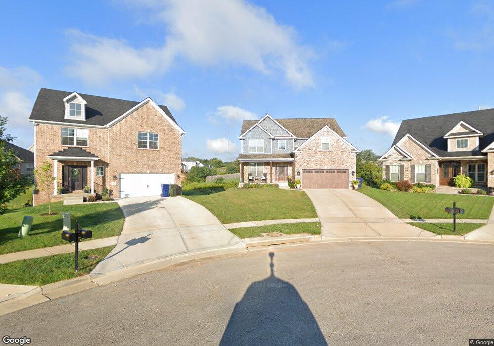
2100 Rutledge Ave Lexington, KY 40509
Liberty Area NeighborhoodEstimated Value: $553,000 - $646,000
4
Beds
3
Baths
2,618
Sq Ft
$222/Sq Ft
Est. Value
About This Home
This home is located at 2100 Rutledge Ave, Lexington, KY 40509 and is currently estimated at $581,365, approximately $222 per square foot. 2100 Rutledge Ave is a home with nearby schools including Liberty Elementary School, Crawford Middle School, and Frederick Douglass High School.
Ownership History
Date
Name
Owned For
Owner Type
Purchase Details
Closed on
Oct 11, 2018
Sold by
Miller Stone Constr Llc
Bought by
Bafford Gwen and Donaldson Dustin
Current Estimated Value
Home Financials for this Owner
Home Financials are based on the most recent Mortgage that was taken out on this home.
Original Mortgage
$347,346
Outstanding Balance
$302,906
Interest Rate
4.5%
Mortgage Type
Unknown
Estimated Equity
$278,459
Purchase Details
Closed on
May 1, 2018
Sold by
Haymaker Dev Co Llc
Bought by
Miller Stone Constr Llc
Home Financials for this Owner
Home Financials are based on the most recent Mortgage that was taken out on this home.
Original Mortgage
$323,000
Interest Rate
4.44%
Mortgage Type
Unknown
Create a Home Valuation Report for This Property
The Home Valuation Report is an in-depth analysis detailing your home's value as well as a comparison with similar homes in the area
Home Values in the Area
Average Home Value in this Area
Purchase History
| Date | Buyer | Sale Price | Title Company |
|---|---|---|---|
| Bafford Gwen | $385,940 | -- | |
| Miller Stone Constr Llc | $72,600 | -- |
Source: Public Records
Mortgage History
| Date | Status | Borrower | Loan Amount |
|---|---|---|---|
| Open | Miller Stone Constr Llc | $347,346 | |
| Previous Owner | Miller Stone Constr Llc | $323,000 |
Source: Public Records
Tax History Compared to Growth
Tax History
| Year | Tax Paid | Tax Assessment Tax Assessment Total Assessment is a certain percentage of the fair market value that is determined by local assessors to be the total taxable value of land and additions on the property. | Land | Improvement |
|---|---|---|---|---|
| 2024 | $5,519 | $446,300 | $0 | $0 |
| 2023 | $5,519 | $446,300 | $0 | $0 |
| 2022 | $4,929 | $385,900 | $0 | $0 |
| 2021 | $4,929 | $385,900 | $0 | $0 |
| 2020 | $4,929 | $385,900 | $0 | $0 |
| 2019 | $4,261 | $385,900 | $0 | $0 |
Source: Public Records
Map
Nearby Homes
- 2020 Covington Dr
- 2002 Covington Dr
- 1985 Tidewater Flat
- 1944 Covington Dr
- 2165 Rutledge Ave
- 1951 Covington Point
- 1409 Gadsten Ct
- 1084 Grimball Trace
- 1137 Haddrell Point
- 1041 Haddrell Point
- 1740 Battery St
- 1791 Battery St
- 2202 Stonewood Ln
- 1732 Sandhurst Cove
- 2353 Cosimo Way
- 2216 Walsh Ct
- 2219 Patchen Lake Ln
- 917 Ridgebrook Rd
- 1801 Goodpaster Way
- 2505 Pascoli Place
- 2105 Rutledge Ave
- 2104 Rutledge Ave
- 2109 Rutledge Ave
- 2108 Rutledge Ave
- 2113 Rutledge Ave
- 2112 Rutledge Ave
- 1975 Covington Point
- 1975 Covington Point
- 2117 Rutledge Ave
- 1965 Tidewater Flat
- 1961 Tidewater Flat
- 1957 Tidewater Flat
- 2121 Rutledge Ave
- 2116 Rutledge Ave
- 2016 Covington Dr
- 1969 Tidewater Flat
- 1604 Vendue Row
- 1979 Covington Point
- 1971 Covington Point
- 1973 Tidewater Flat