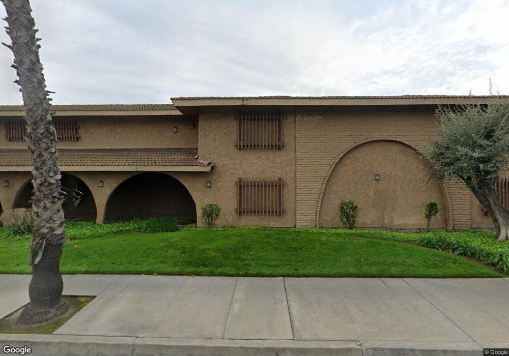
2100 W Commonwealth Ave Fullerton, CA 92833
--
Bed
--
Bath
78,763
Sq Ft
1.82
Acres
About This Home
This home is located at 2100 W Commonwealth Ave, Fullerton, CA 92833. 2100 W Commonwealth Ave is a home located in Orange County with nearby schools including Pacific Drive Elementary School, Nicolas Junior High School, and Buena Park High School.
Ownership History
Date
Name
Owned For
Owner Type
Purchase Details
Closed on
Sep 25, 2006
Sold by
H K Realty Inc
Bought by
2100 W Commonwealth Avenue Inc
Home Financials for this Owner
Home Financials are based on the most recent Mortgage that was taken out on this home.
Original Mortgage
$15,081,900
Outstanding Balance
$8,984,736
Interest Rate
6.43%
Mortgage Type
Commercial
Create a Home Valuation Report for This Property
The Home Valuation Report is an in-depth analysis detailing your home's value as well as a comparison with similar homes in the area
Home Values in the Area
Average Home Value in this Area
Purchase History
| Date | Buyer | Sale Price | Title Company |
|---|---|---|---|
| 2100 W Commonwealth Avenue Inc | -- | First American Title Ins Co |
Source: Public Records
Mortgage History
| Date | Status | Borrower | Loan Amount |
|---|---|---|---|
| Open | 2100 W Commonwealth Avenue Inc | $15,081,900 |
Source: Public Records
Tax History Compared to Growth
Tax History
| Year | Tax Paid | Tax Assessment Tax Assessment Total Assessment is a certain percentage of the fair market value that is determined by local assessors to be the total taxable value of land and additions on the property. | Land | Improvement |
|---|---|---|---|---|
| 2025 | $55,529 | $3,347,097 | $1,387,442 | $1,959,655 |
| 2024 | $55,529 | $3,281,468 | $1,360,237 | $1,921,231 |
| 2023 | $53,991 | $3,217,126 | $1,333,566 | $1,883,560 |
| 2022 | $53,209 | $3,154,046 | $1,307,418 | $1,846,628 |
| 2021 | $52,388 | $3,092,202 | $1,281,782 | $1,810,420 |
| 2020 | $51,997 | $3,060,496 | $1,268,639 | $1,791,857 |
| 2019 | $51,080 | $3,000,487 | $1,243,764 | $1,756,723 |
| 2018 | $50,367 | $2,941,654 | $1,219,376 | $1,722,278 |
| 2017 | $49,608 | $2,883,975 | $1,195,467 | $1,688,508 |
| 2016 | $48,721 | $2,827,427 | $1,172,027 | $1,655,400 |
| 2015 | $47,567 | $2,784,957 | $1,154,422 | $1,630,535 |
| 2014 | $46,357 | $2,730,404 | $1,131,808 | $1,598,596 |
Source: Public Records
Map
Nearby Homes
- 312 S Pine Dr
- 2127 W Ash Ave
- 109 S Vermont Ave
- 134 S Pritchard Ave
- 2304 W Flower Ave
- 600 S Brookhurst Rd
- 619 S Brookhurst Rd
- 3604 W Valencia Dr
- 1636 W Valencia Dr
- 3502 W Flower Ave
- 3620 W West Ave
- 2107 W Porter Ave
- 2013 W Porter Ave
- 2523 Cypress Point Dr
- 1746 W Southgate Ave
- 3750 Franklin Ave
- 1814 W Jacaranda Place
- 2410 Plaza de Vista
- 1478 W Valencia Dr
- 433 435 N Basque