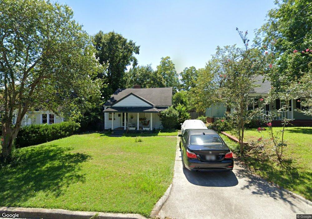
2104 Greene St Augusta, GA 30904
Harrisburg NeighborhoodEstimated Value: $111,012 - $181,000
3
Beds
1
Bath
1,150
Sq Ft
$119/Sq Ft
Est. Value
About This Home
This home is located at 2104 Greene St, Augusta, GA 30904 and is currently estimated at $137,253, approximately $119 per square foot. 2104 Greene St is a home located in Richmond County with nearby schools including Lake Forest Hills Elementary School, Johnson Magnet, and Tutt Middle School.
Ownership History
Date
Name
Owned For
Owner Type
Purchase Details
Closed on
Aug 23, 1999
Sold by
Cook Dawn M and Jones Dawn M
Bought by
Stokes Emmie D
Current Estimated Value
Home Financials for this Owner
Home Financials are based on the most recent Mortgage that was taken out on this home.
Original Mortgage
$59,410
Outstanding Balance
$15,937
Interest Rate
7.5%
Mortgage Type
FHA
Estimated Equity
$121,316
Purchase Details
Closed on
Aug 4, 1986
Sold by
Covington Donna L
Bought by
Cook Dawn M
Purchase Details
Closed on
Jul 1, 1986
Sold by
Covington Donna L
Bought by
Cook Dawn M
Purchase Details
Closed on
Feb 1, 1982
Create a Home Valuation Report for This Property
The Home Valuation Report is an in-depth analysis detailing your home's value as well as a comparison with similar homes in the area
Home Values in the Area
Average Home Value in this Area
Purchase History
| Date | Buyer | Sale Price | Title Company |
|---|---|---|---|
| Stokes Emmie D | $59,900 | -- | |
| Cook Dawn M | $40,500 | -- | |
| Cook Dawn M | $40,500 | -- | |
| -- | $26,500 | -- |
Source: Public Records
Mortgage History
| Date | Status | Borrower | Loan Amount |
|---|---|---|---|
| Open | Stokes Emmie D | $59,410 |
Source: Public Records
Tax History
| Year | Tax Paid | Tax Assessment Tax Assessment Total Assessment is a certain percentage of the fair market value that is determined by local assessors to be the total taxable value of land and additions on the property. | Land | Improvement |
|---|---|---|---|---|
| 2025 | $1,489 | $43,180 | $3,008 | $40,172 |
| 2024 | $1,489 | $37,224 | $3,008 | $34,216 |
| 2023 | $505 | $29,768 | $3,008 | $26,760 |
| 2022 | $989 | $27,186 | $3,008 | $24,178 |
| 2021 | $731 | $17,533 | $3,014 | $14,519 |
| 2020 | $669 | $15,839 | $3,960 | $11,879 |
| 2019 | $694 | $15,839 | $3,960 | $11,879 |
| 2018 | $698 | $15,839 | $3,960 | $11,879 |
| 2017 | $696 | $15,839 | $3,960 | $11,879 |
| 2016 | $696 | $15,839 | $3,960 | $11,879 |
| 2015 | $699 | $15,839 | $3,960 | $11,879 |
| 2014 | $699 | $15,839 | $3,960 | $11,879 |
Source: Public Records
Map
Nearby Homes
- 531 Carr St
- 2025 Ellis St
- 2063 Broad St
- 2021 Ellis St
- 513 Beaufort Dr
- 2052 Clark St
- 501 Milledge Rd Unit 9A
- 501 Milledge Rd Unit 18B
- 2048 Edgar St
- 600 Hickman Rd
- 1933 Telfair St
- 1929 Watkins St
- 2015 Starnes St
- 1918 Division St
- 1915 Watkins St
- 1918 Walker St
- 1916 Walker St
- 705 Hickman Rd
- 608 Eve St
- 605 Eve St
- 2106 Greene St
- 2102 Greene St
- 2108 Greene St
- 2110 Greene St
- 2080 Greene St
- 410 Tubman St
- 2146 Greene St
- 2085 Telfair St
- 2148 Greene St
- 2066 Greene St
- 2427 2429 Mt Auburn St
- 2435 2437 Mt Auburn St
- 0 Haven Ct Unit 202728
- 0 Haven Ct Unit 200728
- 1622 Cleveland St Unit 2
- 3029 Story Dr
- 2138 Grand Blvd
- 2734 Edwards Dr
- 0 First Ave
- 2431 & 2433
Your Personal Tour Guide
Ask me questions while you tour the home.