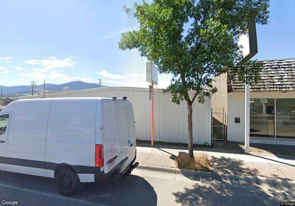
2105 South Ave W Unit A Missoula, MT 59801
Franklin to the Fort NeighborhoodEstimated Value: $1,021,668
--
Bed
--
Bath
4,560
Sq Ft
$224/Sq Ft
Est. Value
About This Home
This home is located at 2105 South Ave W Unit A, Missoula, MT 59801 and is currently estimated at $1,021,668, approximately $224 per square foot. 2105 South Ave W Unit A is a home located in Missoula County with nearby schools including Russell School, Meadow Hill Middle School, and Sentinel High School.
Ownership History
Date
Name
Owned For
Owner Type
Purchase Details
Closed on
Nov 30, 2021
Sold by
Star Rental Inc
Bought by
Barksdale Josh and Barksdale Amber
Current Estimated Value
Home Financials for this Owner
Home Financials are based on the most recent Mortgage that was taken out on this home.
Original Mortgage
$603,000
Outstanding Balance
$159,466
Interest Rate
3.05%
Mortgage Type
Seller Take Back
Estimated Equity
$862,202
Create a Home Valuation Report for This Property
The Home Valuation Report is an in-depth analysis detailing your home's value as well as a comparison with similar homes in the area
Home Values in the Area
Average Home Value in this Area
Purchase History
| Date | Buyer | Sale Price | Title Company |
|---|---|---|---|
| Barksdale Josh | -- | St Peter Law Offices Pc |
Source: Public Records
Mortgage History
| Date | Status | Borrower | Loan Amount |
|---|---|---|---|
| Open | Barksdale Josh | $603,000 | |
| Closed | Barksdale Josh | $603,000 |
Source: Public Records
Tax History Compared to Growth
Tax History
| Year | Tax Paid | Tax Assessment Tax Assessment Total Assessment is a certain percentage of the fair market value that is determined by local assessors to be the total taxable value of land and additions on the property. | Land | Improvement |
|---|---|---|---|---|
| 2025 | $10,600 | $568,700 | $504,225 | $64,475 |
| 2024 | $10,139 | $595,100 | $357,026 | $238,074 |
| 2023 | $9,766 | $595,100 | $357,026 | $238,074 |
| 2022 | $8,747 | $462,400 | $0 | $0 |
| 2021 | $7,864 | $462,400 | $0 | $0 |
| 2020 | $7,428 | $405,700 | $0 | $0 |
| 2019 | $7,404 | $405,700 | $0 | $0 |
| 2018 | $6,441 | $343,200 | $0 | $0 |
| 2017 | $7,073 | $343,200 | $0 | $0 |
| 2016 | $5,763 | $282,400 | $0 | $0 |
| 2015 | $5,420 | $282,400 | $0 | $0 |
| 2014 | $6,577 | $277,195 | $0 | $0 |
Source: Public Records
Map
Nearby Homes
- 265 S 4th St E Unit 208
- 265 S 4th St E Unit 111
- 265 S 4th St E Unit 405
- 2112 & 2112 1/2 W Central Ave
- 2129 W Kent Ave Unit A
- 2144 W Kent Ave
- 2331 W Sussex Ave
- 2329 Fairview Ave
- 2345 W Kent Ave
- 2225 Kensington Ave
- 1755 North Ave W
- 3032 Eaton St
- 1665 W Sussex Ave
- 2110 Burlington Ave
- 2028 B Burlington Ave
- 2307 Burlington Ave
- 2218 Burlington Ave
- 2374 Harve Ave
- 2115 Mount Ave Unit B
- 2625 Dearborn Ave Unit 205
- 265 S 4th St E Unit 206
- 265 S 4th St E Unit 401
- 265 S 4th St E Unit 207
- 265 S 4th St E Unit 303
- 265 S 4th St E Unit 406
- 265 S 4th St E Unit 402
- 235 S 4th St E Unit 102
- 265 S 4th St E Unit 108
- 235 S 4th St E Unit 204
- 235 S 4th St E Unit 202
- 235 S 4th St E Unit 101
- 235 S 4th St E Unit 104
- 235 S 4th St E Unit 203
- 265 S 4th St E Unit 302
- 265 S 4th St E Unit 305
- 2105 South Ave W
- 2137 South Ave W
- 2101 South Ave W
- 2104 Livingston Ave
- 2108 Livingston Ave
