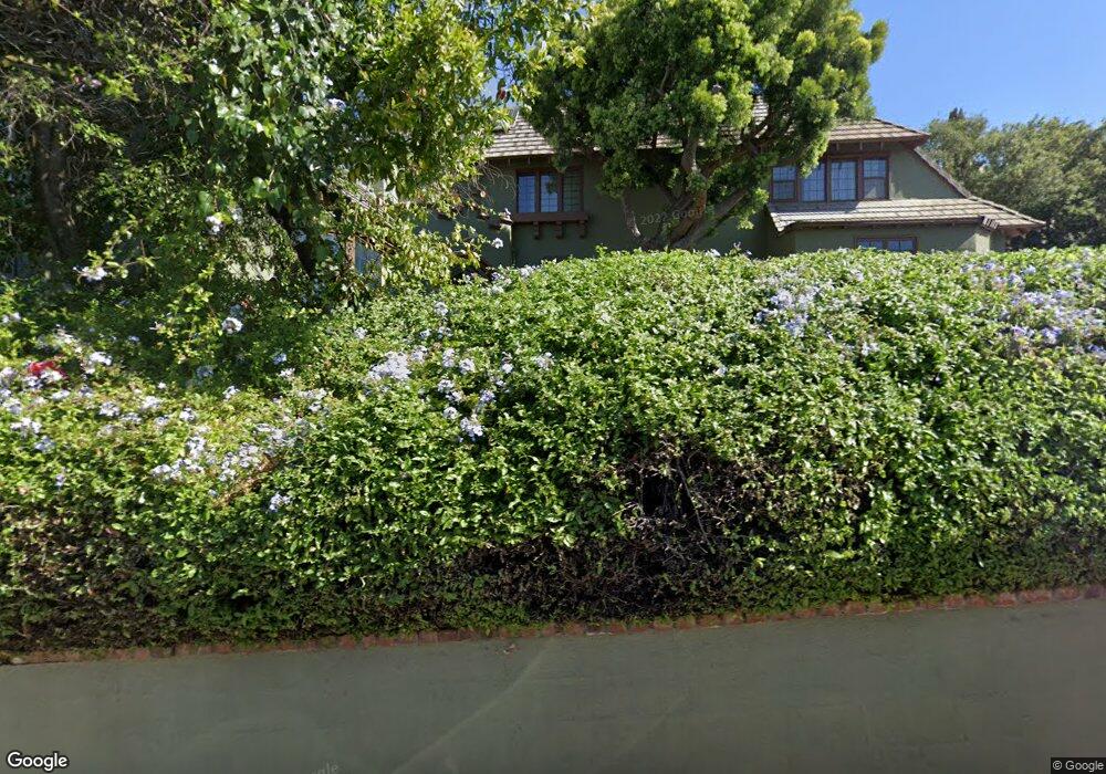
2106 Cedarhurst Dr Los Angeles, CA 90027
Los Feliz NeighborhoodEstimated Value: $2,473,000 - $2,925,000
4
Beds
3
Baths
2,991
Sq Ft
$883/Sq Ft
Est. Value
About This Home
This home is located at 2106 Cedarhurst Dr, Los Angeles, CA 90027 and is currently estimated at $2,642,373, approximately $883 per square foot. 2106 Cedarhurst Dr is a home located in Los Angeles County with nearby schools including Franklin Avenue Elementary, Thomas Starr King Middle School Film and Media Magnet, and John Marshall Senior High.
Ownership History
Date
Name
Owned For
Owner Type
Purchase Details
Closed on
Nov 6, 1996
Sold by
Novello Norma B
Bought by
Novello Norma Baca and Norma Baca Novello Trust
Current Estimated Value
Purchase Details
Closed on
Feb 27, 1996
Sold by
Novello Michael
Bought by
Novello Norma Baca
Home Financials for this Owner
Home Financials are based on the most recent Mortgage that was taken out on this home.
Original Mortgage
$303,000
Interest Rate
7.04%
Create a Home Valuation Report for This Property
The Home Valuation Report is an in-depth analysis detailing your home's value as well as a comparison with similar homes in the area
Home Values in the Area
Average Home Value in this Area
Purchase History
| Date | Buyer | Sale Price | Title Company |
|---|---|---|---|
| Novello Norma Baca | -- | -- | |
| Novello Norma Baca | -- | North American Title |
Source: Public Records
Mortgage History
| Date | Status | Borrower | Loan Amount |
|---|---|---|---|
| Closed | Novello Norma Baca | $303,000 |
Source: Public Records
Tax History Compared to Growth
Tax History
| Year | Tax Paid | Tax Assessment Tax Assessment Total Assessment is a certain percentage of the fair market value that is determined by local assessors to be the total taxable value of land and additions on the property. | Land | Improvement |
|---|---|---|---|---|
| 2025 | $8,133 | $641,357 | $249,490 | $391,867 |
| 2024 | $8,133 | $628,783 | $244,599 | $384,184 |
| 2023 | $7,983 | $616,454 | $239,803 | $376,651 |
| 2022 | $7,628 | $604,367 | $235,101 | $369,266 |
| 2021 | $7,524 | $592,518 | $230,492 | $362,026 |
| 2019 | $7,308 | $574,945 | $223,656 | $351,289 |
| 2018 | $7,188 | $563,672 | $219,271 | $344,401 |
| 2016 | $6,856 | $541,786 | $210,757 | $331,029 |
| 2015 | $6,760 | $533,649 | $207,592 | $326,057 |
| 2014 | $6,834 | $523,196 | $203,526 | $319,670 |
Source: Public Records
Map
Nearby Homes
- 4310 Cedarhurst Cir
- 4320 Cedarhurst Cir
- 4437 Avocado St Unit 101
- 4343 Finley Ave Unit 35
- 4321 Los Feliz Blvd Unit 1
- 2255 Talmadge St
- 4411 Los Feliz Blvd Unit 901
- 4411 Los Feliz Blvd Unit 702
- 4411 Los Feliz Blvd Unit 1105
- 4411 Los Feliz Blvd Unit 508
- 4455 Los Feliz Blvd Unit 907
- 4411 Los Feliz Blvd Unit 306
- 4311 Finley Ave
- 4228 Los Nietos Dr
- 2240 Hillhurst Ave
- 2050 Rodney Dr
- 4141 Los Feliz Blvd
- 4171 Holly Knoll Dr
- 1928 Rosalia Rd
- 3234 Lowry Rd
- 4357 Cedarhurst Cir
- 2109 Cedarhurst Dr
- 4355 Cedarhurst Cir
- 2115 Cedarhurst Dr
- 2076 N Commonwealth Ave
- 2105 N Commonwealth Ave
- 4362 Cedarhurst Cir
- 2115 N Commonwealth Ave
- 4342 Cedarhurst Cir
- 4349 Cedarhurst Cir
- 2123 Cedarhurst Dr
- 4341 Ambrose Ave
- 2121 N Commonwealth Ave
- 4407 Ambrose Ave Unit 203
- 4407 Ambrose Ave Unit 105
- 4407 Ambrose Ave Unit 204
- 4407 Ambrose Ave Unit 103
- 4407 Ambrose Ave Unit 102
- 4407 Ambrose Ave Unit 101
- 4407 Ambrose Ave