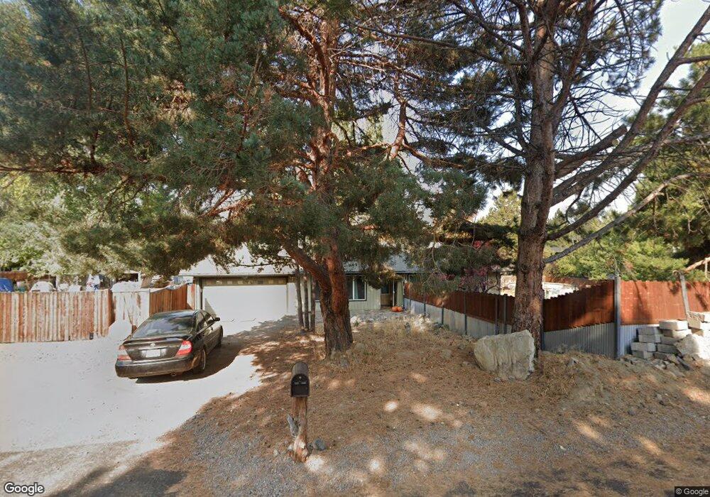
21064 Pinehaven Ave Bend, OR 97702
Larkspur NeighborhoodEstimated Value: $591,000 - $661,000
3
Beds
2
Baths
1,608
Sq Ft
$382/Sq Ft
Est. Value
About This Home
This home is located at 21064 Pinehaven Ave, Bend, OR 97702 and is currently estimated at $614,930, approximately $382 per square foot. 21064 Pinehaven Ave is a home located in Deschutes County with nearby schools including Bear Creek Elementary School, Pilot Butte Middle School, and Bend Senior High School.
Ownership History
Date
Name
Owned For
Owner Type
Purchase Details
Closed on
Nov 1, 2010
Sold by
Us Bank National Association
Bought by
Davis Carrie Ann
Current Estimated Value
Home Financials for this Owner
Home Financials are based on the most recent Mortgage that was taken out on this home.
Original Mortgage
$142,006
Interest Rate
4.4%
Mortgage Type
FHA
Purchase Details
Closed on
Sep 9, 2010
Sold by
Tebbs John Glenn and Tebbs Tracey M
Bought by
Us Bank National Association
Home Financials for this Owner
Home Financials are based on the most recent Mortgage that was taken out on this home.
Original Mortgage
$142,006
Interest Rate
4.4%
Mortgage Type
FHA
Create a Home Valuation Report for This Property
The Home Valuation Report is an in-depth analysis detailing your home's value as well as a comparison with similar homes in the area
Home Values in the Area
Average Home Value in this Area
Purchase History
| Date | Buyer | Sale Price | Title Company |
|---|---|---|---|
| Davis Carrie Ann | $145,700 | First American Title | |
| Us Bank National Association | $148,750 | Accommodation |
Source: Public Records
Mortgage History
| Date | Status | Borrower | Loan Amount |
|---|---|---|---|
| Previous Owner | Davis Carrie Ann | $142,006 |
Source: Public Records
Tax History
| Year | Tax Paid | Tax Assessment Tax Assessment Total Assessment is a certain percentage of the fair market value that is determined by local assessors to be the total taxable value of land and additions on the property. | Land | Improvement |
|---|---|---|---|---|
| 2025 | $3,656 | $216,380 | -- | -- |
| 2024 | $3,517 | $210,080 | -- | -- |
| 2023 | $3,261 | $203,970 | $0 | $0 |
| 2022 | $3,042 | $192,270 | $0 | $0 |
| 2021 | $3,047 | $186,670 | $0 | $0 |
| 2020 | $2,891 | $186,670 | $0 | $0 |
| 2019 | $2,810 | $181,240 | $0 | $0 |
| 2018 | $2,731 | $175,970 | $0 | $0 |
| 2017 | $2,651 | $170,850 | $0 | $0 |
| 2016 | $2,528 | $165,880 | $0 | $0 |
| 2015 | $2,458 | $161,050 | $0 | $0 |
| 2014 | $2,386 | $156,360 | $0 | $0 |
Source: Public Records
Map
Nearby Homes
- 61632 Pettigrew Rd Unit 18
- 61683 Daly Estates Dr
- 61635 Daly Estates Dr Unit 17
- 21130 SE Reed Market Rd
- 61625 Daly Estates Dr Unit 4
- 61625 Daly Estates Dr Unit 2
- 61725 SE Daly Estates Rd
- 61620 Daly Estates Dr
- 21024 SE Azalia Ave
- 21177 Ritz Place
- 21182 Desert Skies Place
- 61536 Ascha Rose Ct
- 789 SE Airpark Dr
- 1761 SE Ironwood Ct
- 61813 Azalia Place
- 61556 Twin Lakes Loop
- 61839 SE 27th St
- 61445 SE 27th St Unit 86
- 61445 SE 27th St Unit 55
- 61445 SE 27th St Unit 48
- 21055 Denning Dr
- 21076 Pinehaven Ave
- 21050 Pinehaven Ave
- 21059 Pinehaven Ave
- 21069 Denning Dr
- 21071 Pinehaven Ave
- 21045 Denning Dr
- 21047 Pinehaven Ave
- 21081 Pinehaven Ave
- 21079 Denning Dr
- 21068 Denning Dr
- 21060 Woodhaven Ave
- 21058 Denning Dr
- 21072 Woodhaven Ave
- 21036 Pinehaven Ave
- 21078 Denning Dr
- 21092 Pinehaven Ave
- 21048 Woodhaven Ave
- 21046 Denning Dr
- 21033 Denning Dr
Your Personal Tour Guide
Ask me questions while you tour the home.