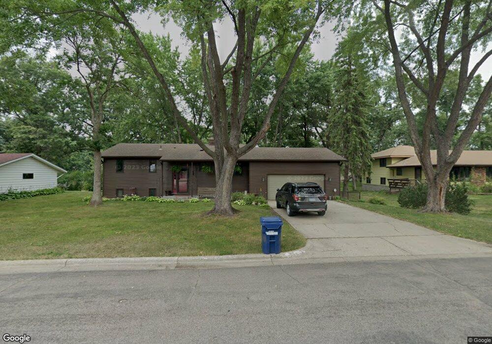
211 10th St N Sauk Rapids, MN 56379
Estimated Value: $264,000 - $283,000
4
Beds
2
Baths
1,040
Sq Ft
$265/Sq Ft
Est. Value
About This Home
This home is located at 211 10th St N, Sauk Rapids, MN 56379 and is currently estimated at $275,244, approximately $264 per square foot. 211 10th St N is a home located in Benton County with nearby schools including Pleasant View Elementary School, Sauk Rapids-Rice Middle School, and Sauk Rapids-Rice Senior High School.
Ownership History
Date
Name
Owned For
Owner Type
Purchase Details
Closed on
Jun 28, 2010
Sold by
Miller Michael E and Miller Leanne Kay
Bought by
Stoll James A and Stoll Kristen L Dollman
Current Estimated Value
Home Financials for this Owner
Home Financials are based on the most recent Mortgage that was taken out on this home.
Original Mortgage
$148,100
Outstanding Balance
$98,660
Interest Rate
4.77%
Mortgage Type
VA
Estimated Equity
$176,584
Create a Home Valuation Report for This Property
The Home Valuation Report is an in-depth analysis detailing your home's value as well as a comparison with similar homes in the area
Home Values in the Area
Average Home Value in this Area
Purchase History
| Date | Buyer | Sale Price | Title Company |
|---|---|---|---|
| Stoll James A | $145,000 | -- |
Source: Public Records
Mortgage History
| Date | Status | Borrower | Loan Amount |
|---|---|---|---|
| Open | Stoll James A | $148,100 |
Source: Public Records
Tax History Compared to Growth
Tax History
| Year | Tax Paid | Tax Assessment Tax Assessment Total Assessment is a certain percentage of the fair market value that is determined by local assessors to be the total taxable value of land and additions on the property. | Land | Improvement |
|---|---|---|---|---|
| 2025 | $2,604 | $234,400 | $33,600 | $200,800 |
| 2024 | $2,604 | $224,800 | $33,600 | $191,200 |
| 2023 | $2,500 | $228,100 | $33,600 | $194,500 |
| 2022 | $2,338 | $202,800 | $30,600 | $172,200 |
| 2021 | $2,132 | $176,100 | $30,600 | $145,500 |
| 2018 | $1,652 | $124,600 | $24,668 | $99,932 |
| 2017 | $1,652 | $97,900 | $23,212 | $74,688 |
| 2016 | $1,628 | $122,400 | $29,400 | $93,000 |
| 2015 | $1,634 | $88,800 | $22,584 | $66,216 |
| 2014 | -- | $83,200 | $22,136 | $61,064 |
| 2013 | -- | $81,200 | $21,962 | $59,238 |
Source: Public Records
Map
Nearby Homes
- 314 Pleasant Ridge Dr
- 702 N Benton Dr
- 709 N Benton Dr
- 1018 N Benton Dr
- 224 9th St N
- 18th 18th
- 390 18th Street Ct NW
- 870 18th St NW
- 820 18th St NW
- 32608 River Vista Ln
- 615 3rd Ave N
- 32467 County Road 1
- 752 12th St N
- 1914 N Benton Dr
- 1804 Oak Pond Dr
- 1806 Oak Pond Dr
- 1209 Oak Pond Dr
- 1809 Eastern Star Loop
- 1101 10th Ave N
- 1107 10th Ave N