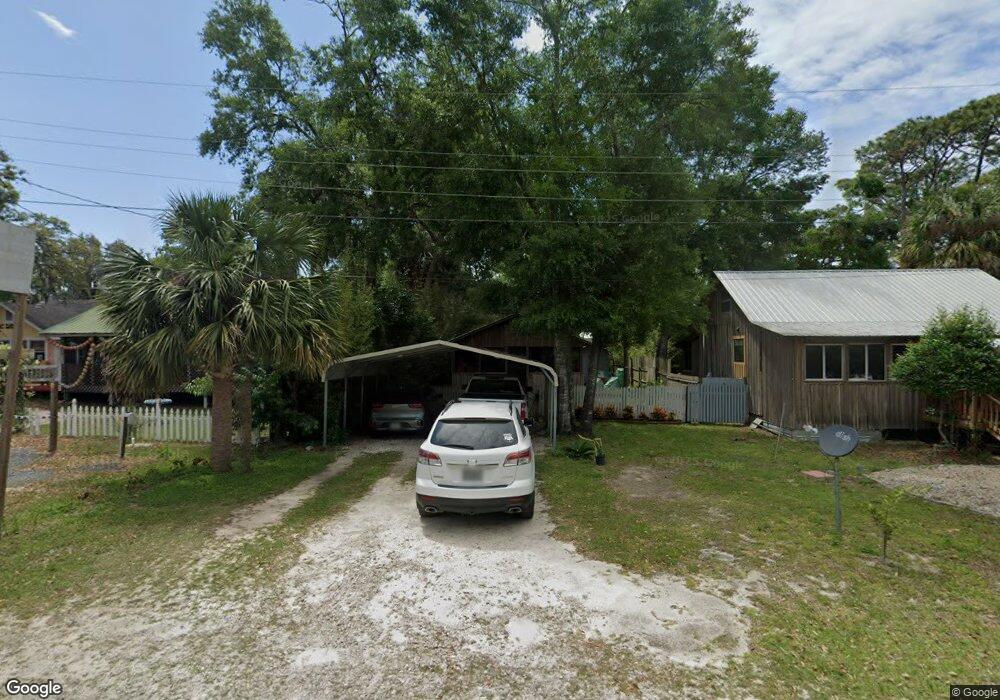
211 10th St SE Steinhatchee, FL 32359
Estimated Value: $199,107 - $255,000
Studio
--
Bath
820
Sq Ft
$287/Sq Ft
Est. Value
About This Home
This home is located at 211 10th St SE, Steinhatchee, FL 32359 and is currently estimated at $235,036, approximately $286 per square foot. 211 10th St SE is a home located in Taylor County with nearby schools including Perry Primary School, Taylor County Elementary School, and Taylor County Middle School.
Ownership History
Date
Name
Owned For
Owner Type
Purchase Details
Closed on
Aug 2, 2017
Sold by
Stripling John D
Bought by
Stripling Matthew David
Current Estimated Value
Home Financials for this Owner
Home Financials are based on the most recent Mortgage that was taken out on this home.
Original Mortgage
$22,000
Interest Rate
3.78%
Mortgage Type
New Conventional
Purchase Details
Closed on
Jun 14, 2013
Sold by
Christie Albert J
Bought by
Stripling John D
Create a Home Valuation Report for This Property
The Home Valuation Report is an in-depth analysis detailing your home's value as well as a comparison with similar homes in the area
Purchase History
| Date | Buyer | Sale Price | Title Company |
|---|---|---|---|
| Stripling Matthew David | $30,000 | Frith Abstract & Title Co | |
| Stripling John D | $55,000 | Frith Abstract & Title Co |
Source: Public Records
Mortgage History
| Date | Status | Borrower | Loan Amount |
|---|---|---|---|
| Previous Owner | Stripling Matthew David | $22,000 |
Source: Public Records
Tax History
| Year | Tax Paid | Tax Assessment Tax Assessment Total Assessment is a certain percentage of the fair market value that is determined by local assessors to be the total taxable value of land and additions on the property. | Land | Improvement |
|---|---|---|---|---|
| 2025 | $633 | $66,970 | -- | -- |
| 2024 | $615 | $65,090 | -- | -- |
| 2023 | $615 | $63,200 | $0 | $0 |
| 2022 | $605 | $61,360 | $0 | $0 |
| 2021 | $571 | $59,580 | $0 | $0 |
| 2020 | $569 | $58,760 | $13,340 | $45,420 |
| 2019 | $584 | $59,850 | $13,340 | $46,510 |
| 2018 | $494 | $47,880 | $12,820 | $35,060 |
| 2017 | $954 | $50,870 | $12,820 | $38,050 |
| 2016 | $549 | $50,420 | $11,510 | $38,910 |
| 2015 | $428 | $52,590 | $12,820 | $39,770 |
| 2014 | -- | $47,820 | $0 | $0 |
Source: Public Records
Map
Nearby Homes
- 209 10th St E
- 209 10th St SE
- 206 10th St E Unit 6
- 903 Riverside Dr
- 0 10th St E Unit 796034
- 915 Riverside Dr
- 914 Riverside Dr
- 1409 Riverside Dr
- 707 Riverside Dr
- 1004 Riverside Dr
- 805 SE 1st Ave
- 803 SE First Ave
- 210 12th St E
- 49 SW 279th Ave
- 0 Central Ave
- 158 sw SW 279th Ave
- 0 13th St Unit 797618
- 115 SW 279th Ave
- 218 13th St E
- 0 SW 279th Ave Unit 2085299
- 213 10th St E
- 213 10th St SE
- 212 Ninth St SE
- 216 Ninth St SE
- 218 SE Tenth St
- 905 Lundy Ln SE
- 206 9th St E
- 905 S Riverside Dr
- 206 10th St SE Unit 1
- 206 10th St SE Unit 3A (AKA 8)
- 206 10th St SE Unit 1 B
- 206 10th St E Unit 2
- 206 10th St E Unit 1
- 206 10th St SE
- 206 10th St SE Unit 2
- 206 10th St E Unit 3C
- 206 10th St E Unit 3B
- 206 10th St E Unit 2D
- 206 10th St E Unit 3A
- 206 10th St E Unit 2A
Your Personal Tour Guide
Ask me questions while you tour the home.