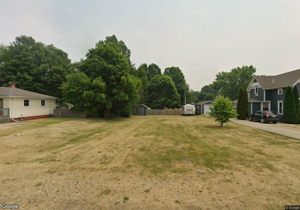
211 3rd St Sturgis, MI 49091
Estimated Value: $13,183
--
Bed
--
Bath
--
Sq Ft
8,712
Sq Ft Lot
About This Home
This home is located at 211 3rd St, Sturgis, MI 49091 and is currently estimated at $13,183. 211 3rd St is a home located in St. Joseph County with nearby schools including Sturgis High School and Trinity Lutheran School.
Ownership History
Date
Name
Owned For
Owner Type
Purchase Details
Closed on
Mar 1, 2013
Sold by
Jitjaeng Mike Sarawut and Jitjaeng Celina
Bought by
Coker James Allen and Baker Tracy Michelle
Current Estimated Value
Purchase Details
Closed on
Mar 1, 2006
Sold by
Chitchang Narisara
Bought by
Jitjaeng Mike Sarawut
Purchase Details
Closed on
Apr 15, 2003
Sold by
Eaton Donald S and Eaton Linda J
Bought by
Chitchang Narisara
Purchase Details
Closed on
Nov 20, 2000
Sold by
Sturgis Neighborhood
Bought by
Eaton
Purchase Details
Closed on
Jan 21, 1999
Sold by
Sturgis Neighborhood Program
Bought by
Eaton Donald S and Mac Donald G
Purchase Details
Closed on
Oct 16, 1997
Sold by
Friddle Merrill L
Bought by
Sturgis Neighborhood Program
Purchase Details
Closed on
Jul 29, 1995
Sold by
Crites
Bought by
Friddle
Purchase Details
Closed on
Jan 1, 1901
Create a Home Valuation Report for This Property
The Home Valuation Report is an in-depth analysis detailing your home's value as well as a comparison with similar homes in the area
Home Values in the Area
Average Home Value in this Area
Purchase History
| Date | Buyer | Sale Price | Title Company |
|---|---|---|---|
| Coker James Allen | $6,000 | Patrick Abstract & Title Off | |
| Jitjaeng Mike Sarawut | -- | None Available | |
| Chitchang Narisara | $7,000 | -- | |
| Eaton | $6,900 | -- | |
| Eaton Donald S | $32,000 | -- | |
| Sturgis Neighborhood Program | $14,000 | -- | |
| Friddle | $10,000 | -- | |
| -- | -- | -- |
Source: Public Records
Tax History Compared to Growth
Tax History
| Year | Tax Paid | Tax Assessment Tax Assessment Total Assessment is a certain percentage of the fair market value that is determined by local assessors to be the total taxable value of land and additions on the property. | Land | Improvement |
|---|---|---|---|---|
| 2025 | -- | $0 | $0 | $0 |
| 2024 | -- | $0 | $0 | $0 |
| 2023 | -- | $0 | $0 | $0 |
| 2022 | $0 | $0 | $0 | $0 |
| 2021 | $126 | $3,900 | $3,900 | $0 |
| 2020 | $125 | $3,100 | $3,100 | $0 |
| 2019 | $122 | $3,600 | $3,600 | $0 |
| 2018 | $162 | $2,700 | $2,700 | $0 |
| 2017 | $276 | $4,600 | $4,600 | $0 |
| 2016 | -- | $4,600 | $4,600 | $0 |
| 2015 | -- | $4,400 | $4,400 | $0 |
| 2014 | -- | $5,200 | $5,200 | $0 |
| 2012 | -- | $5,200 | $5,200 | $0 |
Source: Public Records
Map
Nearby Homes
- 200 Broadus St
- 600 Saint Joseph St
- 26865 Us Highway 12
- 410 W Chicago Rd
- 210 Grove St
- 501 Norwood St
- 408 S Clay St
- 104 Mechanic St
- 211 N Maple St
- 805 N Nottawa St
- 909 Merryview Dr
- 304 Cottage
- 609 Sturgis St
- 105 Jean St
- 413 E Congress St
- 208 E Electric Ct
- 607 George St
- 703 Wilson Ave
- 1012 Greenlawn Dr
- 614 N Fourth St