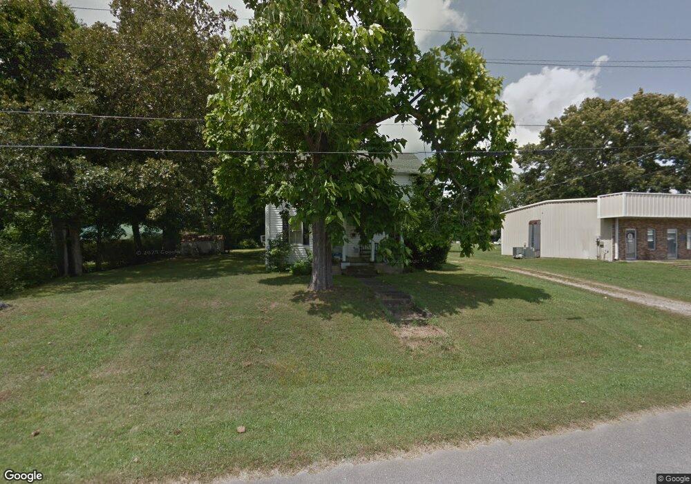
211 Broad St Loretto, TN 38469
Estimated Value: $141,000 - $205,000
Studio
2
Baths
1,760
Sq Ft
$92/Sq Ft
Est. Value
About This Home
This home is located at 211 Broad St, Loretto, TN 38469 and is currently estimated at $161,091, approximately $91 per square foot. 211 Broad St is a home located in Lawrence County with nearby schools including South Lawrence Elementary School, Lawrenceburg Public Elementary School, and Ingram Sowell Elementary School.
Ownership History
Date
Name
Owned For
Owner Type
Purchase Details
Closed on
May 14, 2021
Sold by
Walters Malcolm and Walters Timothy
Bought by
Tank Timothy Allen
Current Estimated Value
Home Financials for this Owner
Home Financials are based on the most recent Mortgage that was taken out on this home.
Original Mortgage
$86,955
Outstanding Balance
$78,635
Interest Rate
3.1%
Mortgage Type
VA
Estimated Equity
$82,456
Purchase Details
Closed on
Sep 18, 2020
Sold by
Fowler Pamela Faye
Bought by
Walters Malcolm and Walters Timothy
Purchase Details
Closed on
Jun 23, 2020
Sold by
Fowler Pamela Faye and Estate Of Faye P Parr
Bought by
Fowler Pamela Faye
Purchase Details
Closed on
Jan 23, 1980
Bought by
Parr Faye
Purchase Details
Closed on
Jan 1, 1980
Create a Home Valuation Report for This Property
The Home Valuation Report is an in-depth analysis detailing your home's value as well as a comparison with similar homes in the area
Purchase History
| Date | Buyer | Sale Price | Title Company |
|---|---|---|---|
| Tank Timothy Allen | $85,000 | None Available | |
| Walters Malcolm | -- | None Available | |
| Fowler Pamela Faye | -- | None Available | |
| Parr Faye | -- | -- | |
| -- | $15,000 | -- |
Source: Public Records
Mortgage History
| Date | Status | Borrower | Loan Amount |
|---|---|---|---|
| Open | Tank Timothy Allen | $86,955 |
Source: Public Records
Tax History
| Year | Tax Paid | Tax Assessment Tax Assessment Total Assessment is a certain percentage of the fair market value that is determined by local assessors to be the total taxable value of land and additions on the property. | Land | Improvement |
|---|---|---|---|---|
| 2025 | $702 | $24,950 | $1,500 | $23,450 |
| 2024 | $584 | $24,950 | $1,500 | $23,450 |
| 2023 | $584 | $24,950 | $1,500 | $23,450 |
| 2022 | $584 | $24,950 | $1,500 | $23,450 |
| 2021 | $418 | $12,450 | $1,500 | $10,950 |
| 2020 | $418 | $12,450 | $1,500 | $10,950 |
| 2019 | $418 | $12,450 | $1,500 | $10,950 |
| 2018 | $412 | $12,450 | $1,500 | $10,950 |
| 2017 | $399 | $12,450 | $1,500 | $10,950 |
| 2016 | $399 | $12,450 | $1,500 | $10,950 |
| 2015 | $365 | $12,450 | $1,500 | $10,950 |
| 2014 | $308 | $10,500 | $1,500 | $9,000 |
Source: Public Records
Map
Nearby Homes
- 211 Church St
- 200 Church St
- 109 2nd Ave N
- 202 Vine St
- 402 W Commerce St
- 219 Vine Cir
- 130 Beartown Rd
- 205 Dixon Rd E
- 411 2nd Ave S
- 118 Park St
- 402 N Military St
- 205 Dixon Branch Rd
- 518 2nd Ave S
- 502 N Main St
- 412 Eells St
- 163 Rigling Rd
- 530 S Military St
- 110 Kitty Meyer Ln
- 34 Johnson Ln
- 705 N Military St
- 213 Broad St
- 208 W Commerce St
- 214 Broad St
- 109 S Main St
- 212 W Commerce St
- 200 Broad St
- 108 2nd Ave S
- 219 Broad St
- 209 W Commerce St
- 207 W Commerce St
- 116 S Main St
- 104 2nd Ave S
- 122 S Main St
- 124 S Main St
- 203 Church St
- 100 2nd Ave S
- 126 S Main St
- 205 Church St
- 205 W Commerce St
- 205 W Commerce St Unit 6
Your Personal Tour Guide
Ask me questions while you tour the home.