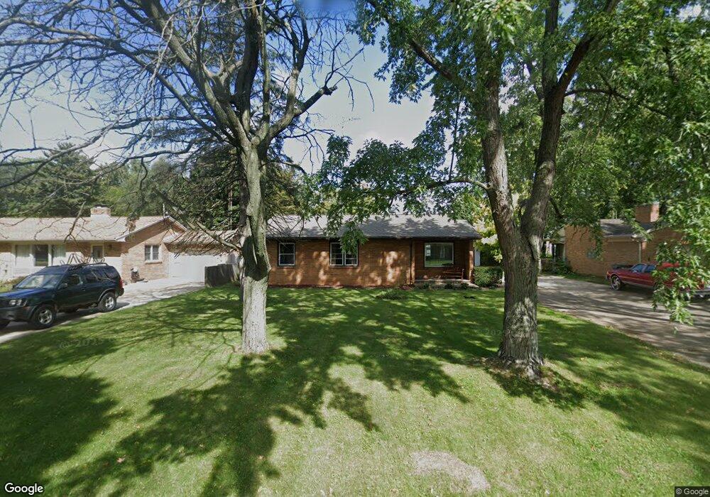
211 Fisk Rd Benton Harbor, MI 49022
Fair Plain NeighborhoodEstimated Value: $238,000 - $261,000
4
Beds
2
Baths
1,700
Sq Ft
$147/Sq Ft
Est. Value
About This Home
This home is located at 211 Fisk Rd, Benton Harbor, MI 49022 and is currently estimated at $249,958, approximately $147 per square foot. 211 Fisk Rd is a home located in Berrien County with nearby schools including Fair Plain Middle School, Benton Harbor High School, and Benton Harbor Charter School Academy.
Ownership History
Date
Name
Owned For
Owner Type
Purchase Details
Closed on
Feb 27, 2018
Sold by
Beushausen Linda A
Bought by
Thompson Nancy K
Current Estimated Value
Home Financials for this Owner
Home Financials are based on the most recent Mortgage that was taken out on this home.
Original Mortgage
$126,350
Outstanding Balance
$107,858
Interest Rate
4.22%
Mortgage Type
New Conventional
Estimated Equity
$142,100
Purchase Details
Closed on
Nov 25, 1996
Purchase Details
Closed on
Mar 25, 1977
Create a Home Valuation Report for This Property
The Home Valuation Report is an in-depth analysis detailing your home's value as well as a comparison with similar homes in the area
Home Values in the Area
Average Home Value in this Area
Purchase History
| Date | Buyer | Sale Price | Title Company |
|---|---|---|---|
| Thompson Nancy K | $133,000 | Meridian Title Co | |
| -- | $82,000 | -- | |
| -- | $36,000 | -- |
Source: Public Records
Mortgage History
| Date | Status | Borrower | Loan Amount |
|---|---|---|---|
| Open | Thompson Nancy K | $126,350 |
Source: Public Records
Tax History Compared to Growth
Tax History
| Year | Tax Paid | Tax Assessment Tax Assessment Total Assessment is a certain percentage of the fair market value that is determined by local assessors to be the total taxable value of land and additions on the property. | Land | Improvement |
|---|---|---|---|---|
| 2025 | $2,351 | $117,900 | $0 | $0 |
| 2024 | $1,409 | $95,300 | $0 | $0 |
| 2023 | $1,342 | $77,400 | $0 | $0 |
| 2022 | $1,278 | $72,700 | $0 | $0 |
| 2021 | $2,082 | $76,900 | $10,400 | $66,500 |
| 2020 | $1,940 | $75,100 | $0 | $0 |
| 2019 | $1,852 | $62,000 | $7,000 | $55,000 |
| 2018 | $1,498 | $62,000 | $0 | $0 |
| 2017 | $1,478 | $61,900 | $0 | $0 |
| 2016 | $1,432 | $61,500 | $0 | $0 |
| 2015 | $1,428 | $55,600 | $0 | $0 |
| 2014 | $930 | $54,400 | $0 | $0 |
Source: Public Records
Map
Nearby Homes
- 1803 Heath Ct
- 235 Fisk Rd
- 117 Messner Dr
- 424 W Napier Ave
- 484 W Napier Ave
- 1762 Smyers Dr
- 379 Western Ave
- 513 N Ottawa Rd
- 275 Benjamin St
- 449 E Napier Ave
- 1565 Miami Rd
- 287 Nickerson Ave
- 1606 Stanley Dr
- 180 Emery Ave
- 1913 E Ogden Ave
- 1235 Colfax Ave
- 1510 Moccasin Trail
- 1332 Columbus Ave
- 1267 Broadway
- 1525 Moccasin Trail