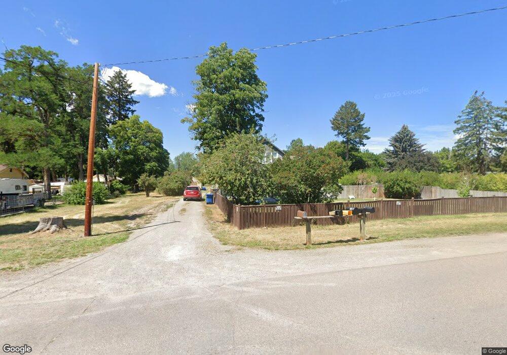
211 S Grove St Missoula, MT 59804
River Road NeighborhoodEstimated Value: $696,762 - $761,000
4
Beds
2
Baths
2,978
Sq Ft
$244/Sq Ft
Est. Value
About This Home
This home is located at 211 S Grove St, Missoula, MT 59804 and is currently estimated at $727,254, approximately $244 per square foot. 211 S Grove St is a home located in Missoula County with nearby schools including Hawthorne Elementary School, Porter Middle School, and Big Sky High School.
Ownership History
Date
Name
Owned For
Owner Type
Purchase Details
Closed on
Jul 24, 2020
Sold by
Kallemeyn Kristen
Bought by
Kallemeyn Kristen and Olson Tanya
Current Estimated Value
Purchase Details
Closed on
Apr 9, 2008
Sold by
Kallemeyn Kristen and Dill Loren
Bought by
Kallemeyn Kristen
Purchase Details
Closed on
Jul 19, 2005
Sold by
Abramson Brian
Bought by
Kallemeyn Kristen and Dill Loren
Home Financials for this Owner
Home Financials are based on the most recent Mortgage that was taken out on this home.
Original Mortgage
$228,000
Outstanding Balance
$114,841
Interest Rate
5.12%
Mortgage Type
Fannie Mae Freddie Mac
Estimated Equity
$612,413
Purchase Details
Closed on
Sep 6, 2002
Sold by
Marks Ronald E and Marks Nancy F
Bought by
Abramson Brian
Home Financials for this Owner
Home Financials are based on the most recent Mortgage that was taken out on this home.
Original Mortgage
$179,910
Interest Rate
7.87%
Create a Home Valuation Report for This Property
The Home Valuation Report is an in-depth analysis detailing your home's value as well as a comparison with similar homes in the area
Home Values in the Area
Average Home Value in this Area
Purchase History
| Date | Buyer | Sale Price | Title Company |
|---|---|---|---|
| Kallemeyn Kristen | -- | Accommodation | |
| Kallemeyn Kristen | -- | First American Title Company | |
| Kallemeyn Kristen | -- | First American Title Company | |
| Abramson Brian | -- | -- |
Source: Public Records
Mortgage History
| Date | Status | Borrower | Loan Amount |
|---|---|---|---|
| Open | Kallemeyn Kristen | $228,000 | |
| Previous Owner | Abramson Brian | $179,910 |
Source: Public Records
Tax History Compared to Growth
Tax History
| Year | Tax Paid | Tax Assessment Tax Assessment Total Assessment is a certain percentage of the fair market value that is determined by local assessors to be the total taxable value of land and additions on the property. | Land | Improvement |
|---|---|---|---|---|
| 2025 | $6,401 | $574,300 | $271,192 | $303,108 |
| 2024 | $6,139 | $504,500 | $242,185 | $262,315 |
| 2023 | $5,918 | $504,500 | $242,185 | $262,315 |
| 2022 | $4,848 | $358,400 | $0 | $0 |
| 2021 | $4,353 | $358,400 | $0 | $0 |
| 2020 | $4,274 | $326,400 | $0 | $0 |
| 2019 | $4,259 | $326,400 | $0 | $0 |
| 2018 | $3,988 | $297,172 | $0 | $0 |
| 2017 | $3,561 | $297,172 | $0 | $0 |
| 2016 | $3,642 | $288,300 | $0 | $0 |
| 2015 | $3,368 | $288,300 | $0 | $0 |
| 2014 | $3,679 | $177,232 | $0 | $0 |
Source: Public Records
Map
Nearby Homes
- 303 S Grove St
- 2705 Emery Place
- 2514 Gleason St
- 112 N Grove St
- 2719 Juneau Ct
- 2783 Renae Ct
- 2515 and 2517 S 3rd St W
- 2511 and 2513 S 3rd St W
- 2511, 2513, 2515, & S 3rd St W
- 2816 S 3rd St W
- 2406 S 5th St W
- 2337 S 3rd St W Unit 7
- 2337 S 3rd St W Unit 6
- 2337 S 3rd St W Unit 8
- 365 Hiberta St
- 815 Gary Dr
- 2355 River Rd
- 2360 River Rd Unit 2
- 2348 River Rd
- 2225 S 8th St W
- 211 & 231 S Grove St
- 231 S Grove St
- 2540 Red Osier Ct
- 2609 Laurie Dr
- 2616 Gleason St
- 206 S Grove St
- 2543 Red Osier Ct
- 2603 Laurie Dr
- 2615 Laurie Dr
- 305 S Grove St
- 2524 Red Osier Ct
- 2610 Gleason St
- 2621 Laurie Dr
- 302 S Grove St
- 120 S Grove St
- 2525 Red Osier Ct
- 308 S Grove St
- 2626 Gleason St
- Lot 7 & 8 Gleason St
- 2555 Bean Ln