21101 Pecan St Cornelius, NC 28031
Estimated Value: $345,428 - $629,000
--
Bed
--
Bath
--
Sq Ft
1.03
Acres
About This Home
This home is located at 21101 Pecan St, Cornelius, NC 28031 and is currently estimated at $520,857. 21101 Pecan St is a home with nearby schools including Cornelius Elementary School, Bailey Middle School, and William Amos Hough High School.
Ownership History
Date
Name
Owned For
Owner Type
Purchase Details
Closed on
Aug 12, 2021
Sold by
Edwards Samuel T and Edwards Linda B
Bought by
Wheeler Seth J and Wheeler Deandra
Current Estimated Value
Purchase Details
Closed on
Aug 11, 2008
Sold by
Calhoun Andrew C and Calhoun Joann D
Bought by
Edwards Samuel T and Edwards Linda B
Purchase Details
Closed on
Mar 22, 2002
Sold by
Howard Willie F
Bought by
Calhoun Andrew C and Calhoun Joann D
Purchase Details
Closed on
Mar 7, 2001
Sold by
Howard Willie F
Bought by
Calhoun Andrew C and Calhoun Joann D
Purchase Details
Closed on
Mar 14, 2000
Sold by
Howard Willie F
Bought by
Calhoun Andrew C and Calhoun Joann D
Create a Home Valuation Report for This Property
The Home Valuation Report is an in-depth analysis detailing your home's value as well as a comparison with similar homes in the area
Home Values in the Area
Average Home Value in this Area
Purchase History
| Date | Buyer | Sale Price | Title Company |
|---|---|---|---|
| Wheeler Seth J | $266,000 | None Available | |
| Edwards Samuel T | $395,000 | None Available | |
| Calhoun Andrew C | -- | -- | |
| Calhoun Andrew C | -- | -- | |
| Calhoun Andrew C | -- | -- |
Source: Public Records
Tax History Compared to Growth
Tax History
| Year | Tax Paid | Tax Assessment Tax Assessment Total Assessment is a certain percentage of the fair market value that is determined by local assessors to be the total taxable value of land and additions on the property. | Land | Improvement |
|---|---|---|---|---|
| 2025 | -- | $350,000 | $350,000 | -- |
| 2024 | -- | $350,000 | $350,000 | -- |
| 2023 | $2,013 | $350,000 | $350,000 | $0 |
| 2022 | $2,013 | $240,000 | $240,000 | $0 |
| 2021 | $2,013 | $240,000 | $240,000 | $0 |
| 2020 | $2,013 | $240,000 | $240,000 | $0 |
| 2019 | $2,013 | $240,000 | $240,000 | $0 |
| 2018 | $1,281 | $118,800 | $118,800 | $0 |
| 2017 | $1,272 | $118,800 | $118,800 | $0 |
| 2016 | $1,272 | $118,800 | $118,800 | $0 |
| 2015 | $1,254 | $118,800 | $118,800 | $0 |
| 2014 | $1,254 | $0 | $0 | $0 |
Source: Public Records
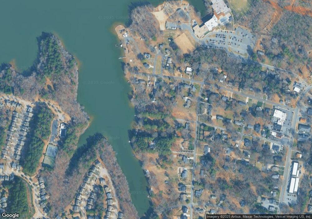
Map
Nearby Homes
- 21024 Cornelius St Unit 303
- 21024 Cornelius St Unit 301
- 21024 Cornelius St Unit 103
- 21024 Cornelius St Unit 203
- 21024 Cornelius St Unit 404
- 20607 Church St
- 20393 Queens St
- 20396 Queens St
- 20392 Queens St
- 20127 Beard St
- 208 Ambleside Village Ln
- 335 Catawba Ave
- 403 Catawba Ave
- 119 Meadowbrook Ln
- 20601 Autumn Breeze Ct
- 20918 Brinkley St
- 317 Catawba Ave
- 20657 Spring Grove Ln
- 912 Mary Max Dr
- 553 Annie Lowery Way
- 21100 Pecan St
- 21100 Cornelius St
- 21108 Cornelius St
- 21034 Cornelius St
- 21116 Cornelius St
- 20505 Church St
- 21124 Cornelius St
- 21026 Cornelius St
- 20429 Church St
- 21132 Cornelius St
- 20405 Church St
- 20421 Church St
- 21140 Cornelius St
- 20600 Cornelius St
- 21021 Cornelius St
- 20407 Church St
- 20407 Church St Unit B
- 21115 Cornelius St
- 21129 Cornelius St
- 20500 Church St